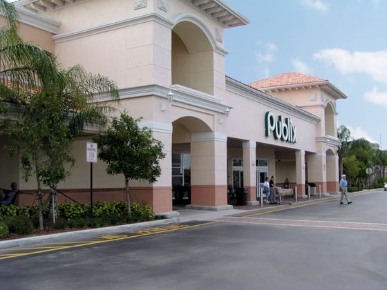
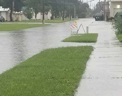
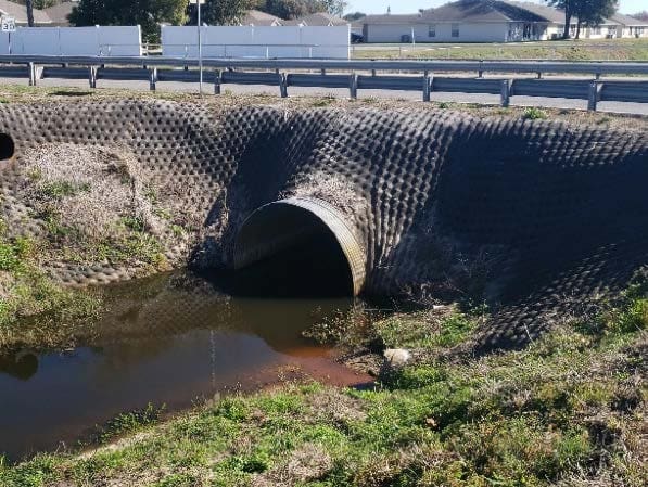
WGI provided project research, data collection, and drainage analysis of US 192 from Budinger Avenue to Eastern Avenue (2.0 miles +/-) to determine the cause of recent flooding. WGI provided a Drainage Design Documentation Report that summarized the results from the analysis and identified performance deficiencies.
Project Highlights
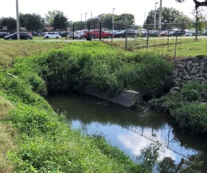
- The project is currently two-phased. The first phase of the study involved initial project research and data collection. Field visits were performed to identify current basin delineation, land use, and infrastructure conditions. Phase two of the study involved an analysis of current versus original design conditions to determine performance deficiencies, the development of preliminary drainage maps, and a drainage design document to aid the department in the next steps toward mitigating the flooding.
.png?width=185&height=175&name=WGI%20Icon_Green%20(1).png)


















 HOLLYWOOD RESERVATION
%20copy%203.png?width=640&height=420&name=MicrosoftTeams-image%20(2)%20copy%203.png)