Next Level Data Collection: WGI’s Geospatial Team Combines Technologies to Capture Data
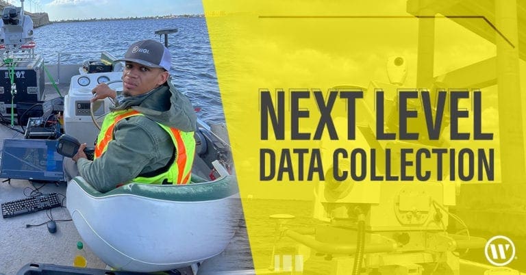
WGI’s geospatial team recently utilized vehicle-mounted mobile lidar, boat-based lidar, and sonar to collect data for the partial rehabilitation of a bridge.
Learn from award-winning professionals — explore our whitepapers, blogs, and the latest industry updates.
Join our dynamic organization of engineers, land surveyors, landscape architects, environmental scientists, and architects!
Talk to a market leader today! We’ll answer any questions you have about our professional services.
Before you begin construction on a new project, you need quality land surveying services to protect your investment. Using advanced geospatial tools, our highly experienced land surveyors and engineers will provide you with the valuable data you need to accurately map and develop your land.
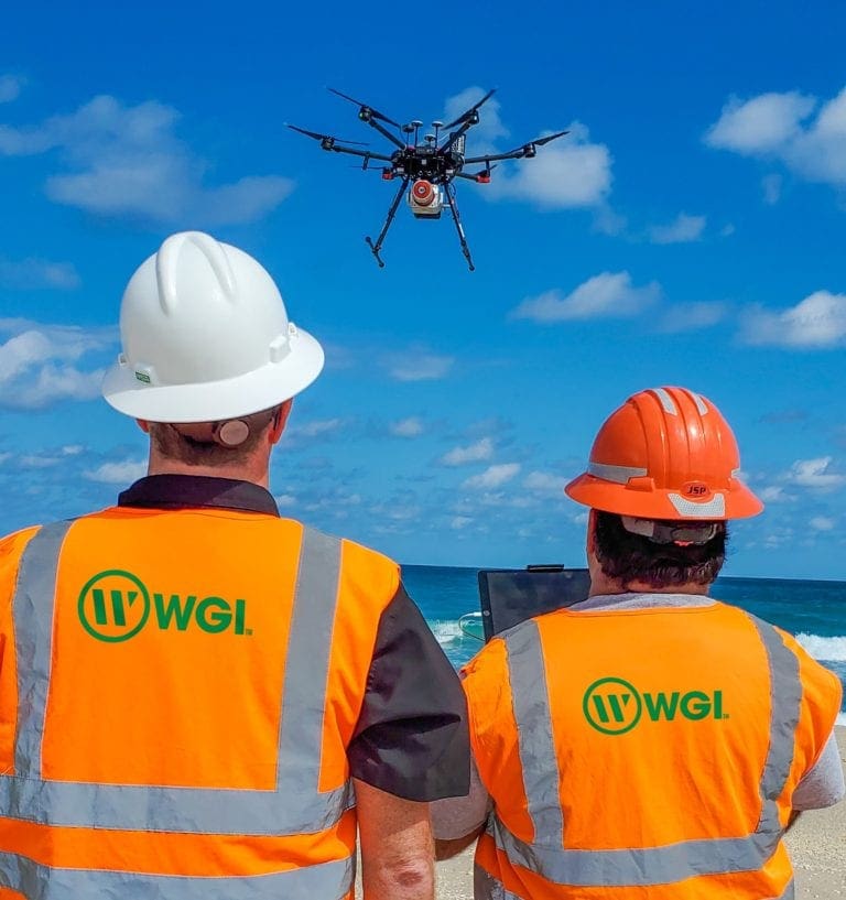
We might use mobile lidar to map a lengthy transportation corridor, hydrographic surveying to capture a detailed picture of an underwater environment, or photogrammetry to capture what only can be seen from an aerial perspective. By offering every available geospatial survey tool and the experts to operate them, WGI’s land surveying team provides clients with meaningful data that allows them to operate far more efficiently.
Learn how our geospatial team recently utilized vehicle-mounted mobile lidar, boat-based lidar, and sonar to collect data for the partial rehabilitation of a bridge.
Our expert team of engineers, design professionals, and consultants can provide support for your project on a wide range of services.

WGI’s geospatial team recently utilized vehicle-mounted mobile lidar, boat-based lidar, and sonar to collect data for the partial rehabilitation of a bridge.

Discover how WGI’s land surveying expertise allows us to bring true added-value to our clients with higher-quality data at a lower cost.

In the WGI Geospatial Division, we are innovators. While anyone can purchase the latest technology such as UAS and lidar systems, we pride ourselves on the unique ways we leverage
Sign up to receive emails to hear our latest news and achievements in our monthly newsletter.
Enter your zip code, and we’ll personalize your experience with local projects, office locations, team members, and more.
WGI supports its associates with meaningful opportunities for growth, strong benefits and perks, while we work collaboratively with clients and co-consultants to shape and improve communities.


WGI is a dynamic organization with opportunities nationwide for engineers, land surveyors, landscape architects, environmental scientists, and architects.