fbpx
Search
Close this search box.

lidar + UAS

Tech-Driven Geospatial Data Collection

LIDAR Technology Expedites the Data Collection Process

Through the use of lidar technologies, the professionals at WGI can collect millions of 3D data points in real time to complete accurate, high-quality digital terrain models of the physical environment. WGI utilizes terrestrial and mobile, aerial UAS, backpack, static, and boat-based lidar systems depending on the needs of the project. We know that time is always money and utilizing these technologies can result in double savings for project owners – save first on the mapping, save again on faster delivery.

Get the Whitepaper

Better and Faster Survey Data Through Technology: Get Geospatial Already

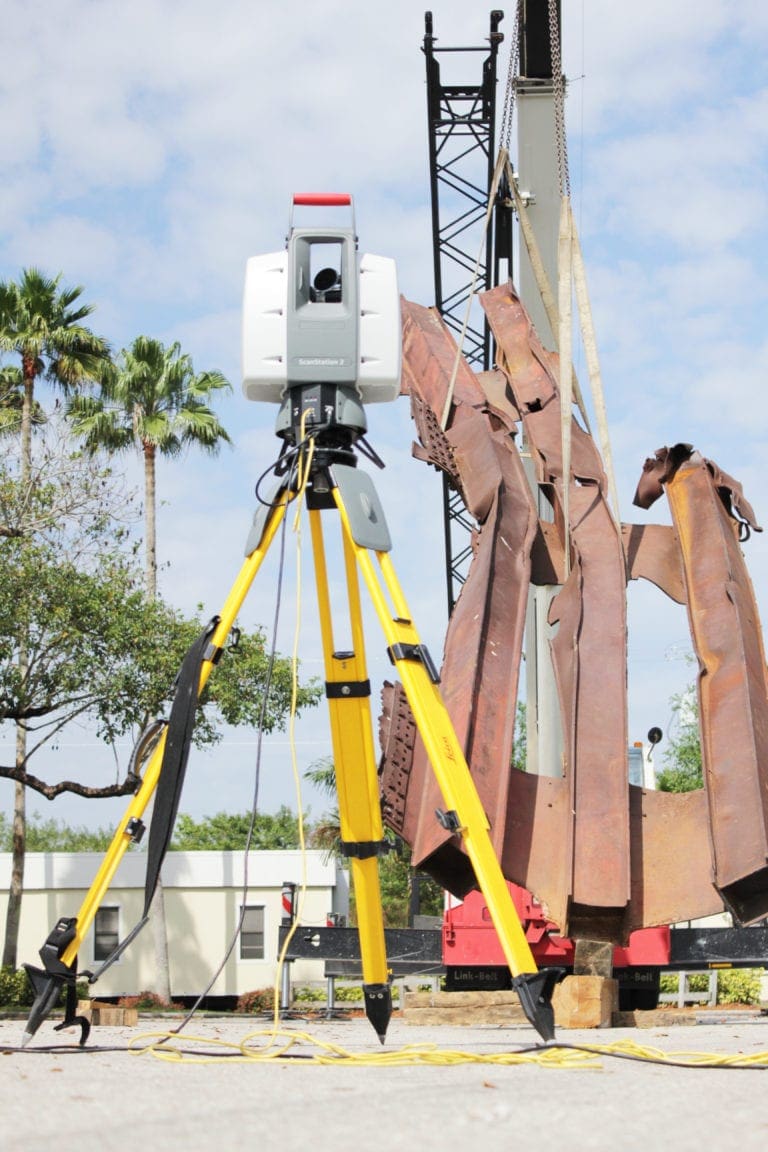
Over the last decade or so, Land Surveying has advanced at light speed. Although some circumstances still call for a surveyor holding a pole to collect data, those days are certainly numbered. Today’s cutting-edge technologies are far more accurate, more complete, and measurably faster. Just as significantly, they enable surveyors to safely deliver detailed data in less time and usually at lesser expense. Since time is always money during development projects, utilizing these technologies can result in double savings for project owners — save first on the mapping, save again on faster delivery.

Smart
Projects

Marjory Stoneman Douglas Historical House

Wellington 9/11 Memorial

Brightline

Brightline Fort Lauderdale and West Palm Beach Stations

Content Library

Innovating The Future of Geospatial

geospatial

While anyone can purchase the latest technology such as UAS and lidar systems, we pride ourselves on the unique ways we leverage technology to provide better deliverables for our clients.

Ready to start Moving?

Will Schnier

Will Schnier

VP, Chief Marketing Officer

Talk to an industry leader.

We're
Nearby

Enter your zip code, and we’ll personalize your experience with local projects, office locations, team members, and more.

WGI's success starts with our Associates

WGI supports its associates with meaningful opportunities for growth, strong benefits and perks, while we work collaboratively with clients and co-consultants to shape and improve communities.

Our Team in Action

Join the Team

WGI is a dynamic organization with opportunities nationwide for engineers, land surveyors, landscape architects, environmental scientists, and architects.

Find a team member:

Let's talk about your next project.