WGI’s professionals are once again transforming the way we design our world by utilizing a combination of cutting-edge lidar and sonar detection technology, photogrammetry, modeling, visualization, and design tools.
Unmatched Efficiency
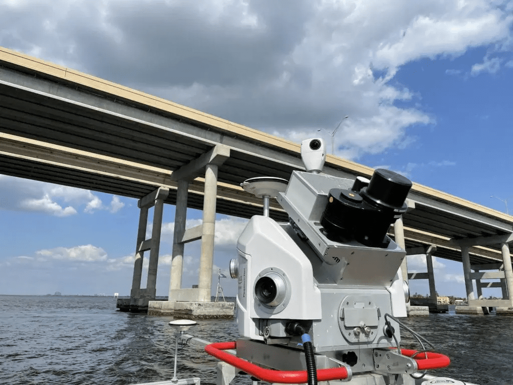
By utilizing mobilized remote sensors and tandem-mounting sonar and lidar together, WGI has the ability to collect a large amount of data in a very short period of time. In addition, the tandem mount also insures that the data is cohesive because they share the same base vectors, satellite constellations , and pitch/roll/yaw inertial values.
Bringing it all together
This combination of data collection technologies and methodologies allows WGI’s professionals to accurately model and visualize the existing conditions of a structure. This allows the design team to conceptualize proposed improvements in an efficient manner. The models created from the collected data can essentially be used as a virtual field visit that can be revisited at any time by the design team.
Watch the video below to see a glimpse of what our team is capable of:
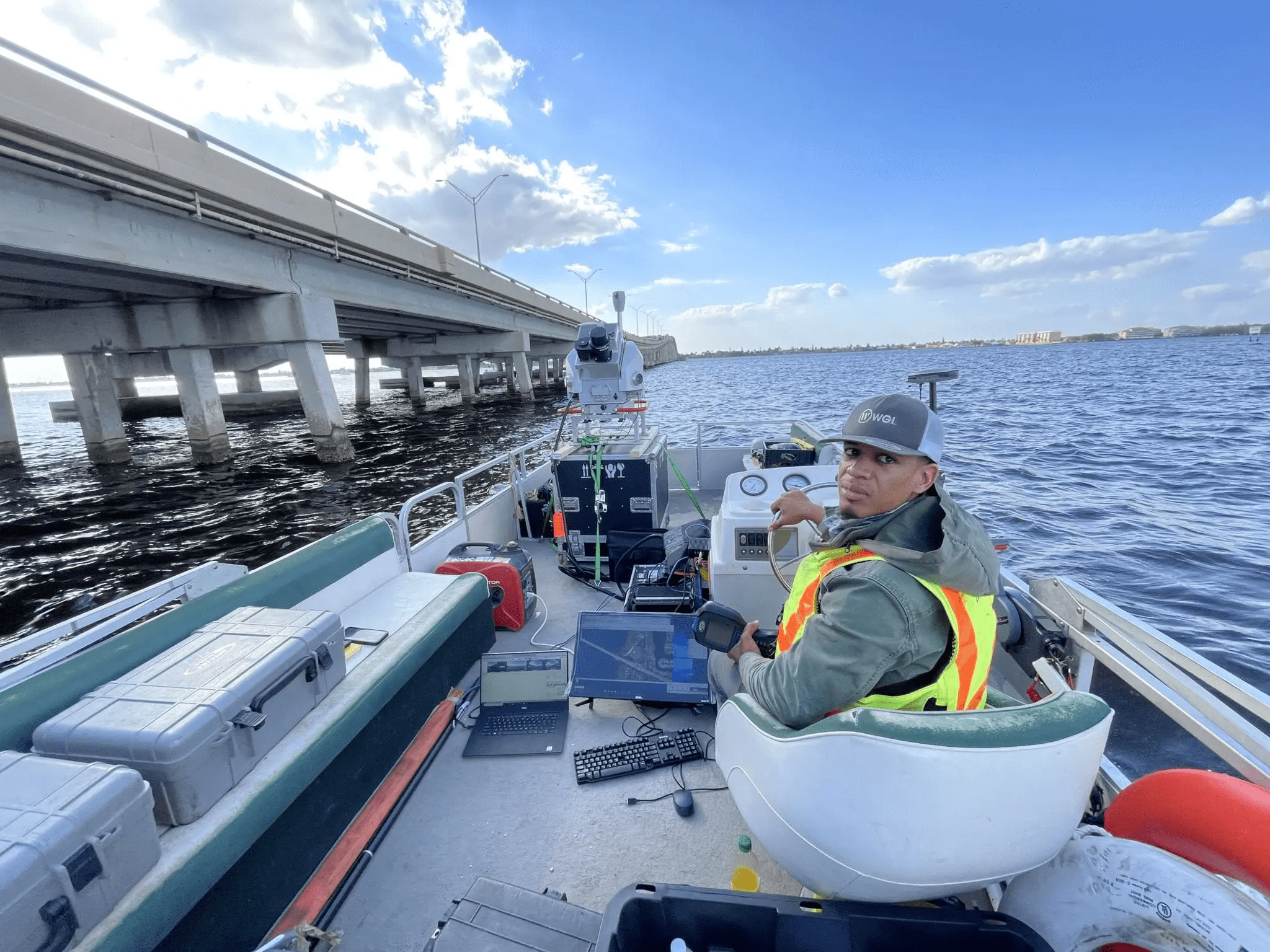
Our in-house team of geospatial experts have the latest tools capable of capturing as-built conditions for nearly any type of project. In the above example, we utilized mobile lidar, boat-mounted lidar, and sonar to capture the existing conditions of a bridge, including existing utilities, beam layouts, bridge approaches, and water depths.
Let’s team up
Data that is collected quickly and accurately aids in the creation of sophisticated models that are a critical tool in planning and designing infrastructure. Contact our team of geospatial experts today and let’s discuss how our team’s innovative technology can make your next project a success!