Blog
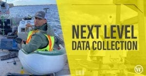
Next Level Data Collection: WGI’s Geospatial Team Combines Technologies to Capture Data
WGI’s geospatial team recently utilized vehicle-mounted mobile lidar, boat-based lidar, and sonar to collect data for the partial rehabilitation of a bridge.