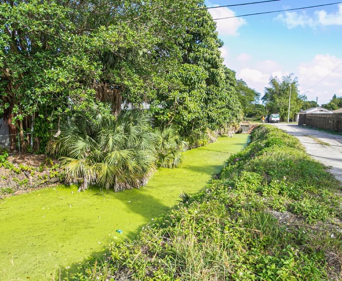
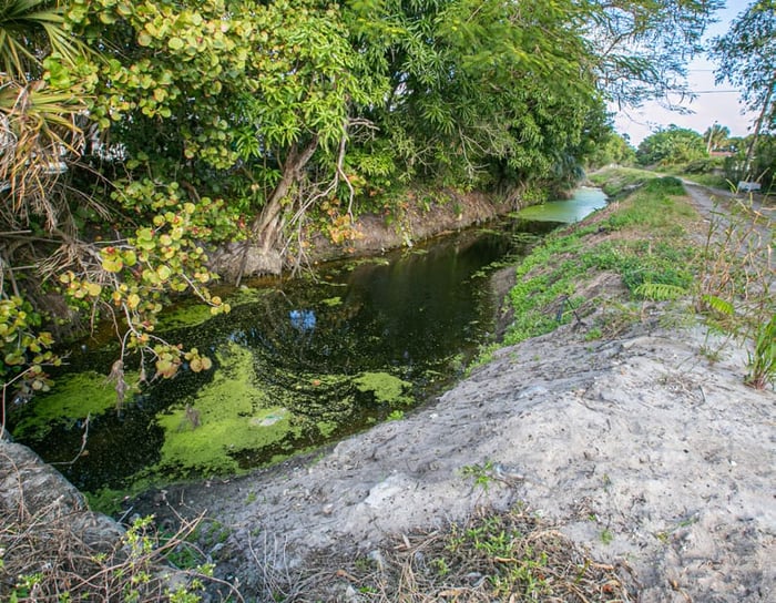
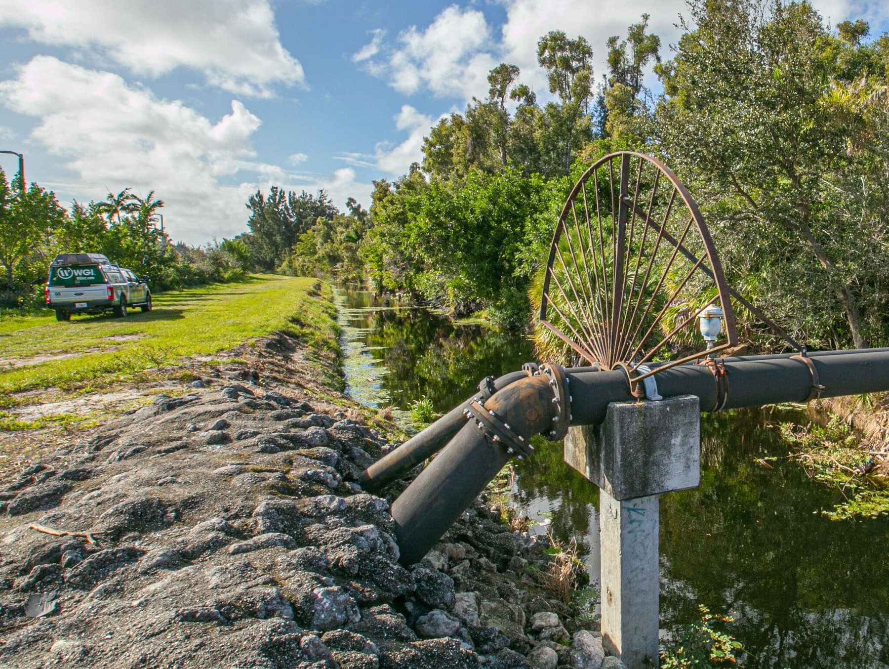
Lake Worth Drainage District (LWDD) manages approximately 500 miles of drainage canals and 1,000 miles of associated rights-of-way (R/W) for more than 750,000 residents, as well as thousands of acres of agricultural land. Due to the frequency and intensity of hurricanes, tropical depressions, and thunderstorms in Florida, LWDD established the Canal Rehabilitation Program to provide effective flood control for public safety. Actively engaging in the regular maintenance and rehabilitation of these canals provides free flow of water in the channels and provides unencumbered access along both sides of the canal banks.
In 2018, LWDD commissioned WGI to provide R/W exhibits for ownership and easement interests, as well as the field staking of LWDD R/W, to support LWDD in their efforts to perform canal maintenance and rehabilitation. These exhibits provide useful data for District meetings and reports, and provide consultants a means of establishing existing R/W.
Once established in the field, R/W lines are staked for the purpose of clearing and identifying encroachments and to visually mark the R/W lines. Staking efforts involve maneuvering through heavy vegetation, as well as managing strict timelines due to the longevity of wooden stakes along neighboring property lines. Once staked, crews add paint lines at the base of each stake as evidence of staking (a safeguard in the event of displacement/removal.) Exhibit deliverables include AutoCAD files and PDF files of drafted sheets. Staking deliverables include stakes in the ground and an AutoCAD file of points and identified encroachments, with a Surveyors Report of supporting evidence.
Since 2018, WGI has provided exhibits for more than 50 miles of R/W and staked over 15 miles of R/W. Maintenance and rehabilitation efforts are scheduled through 2020, with continued support from WGI.
.png?width=185&height=175&name=WGI%20Icon_Green%20(1).png)