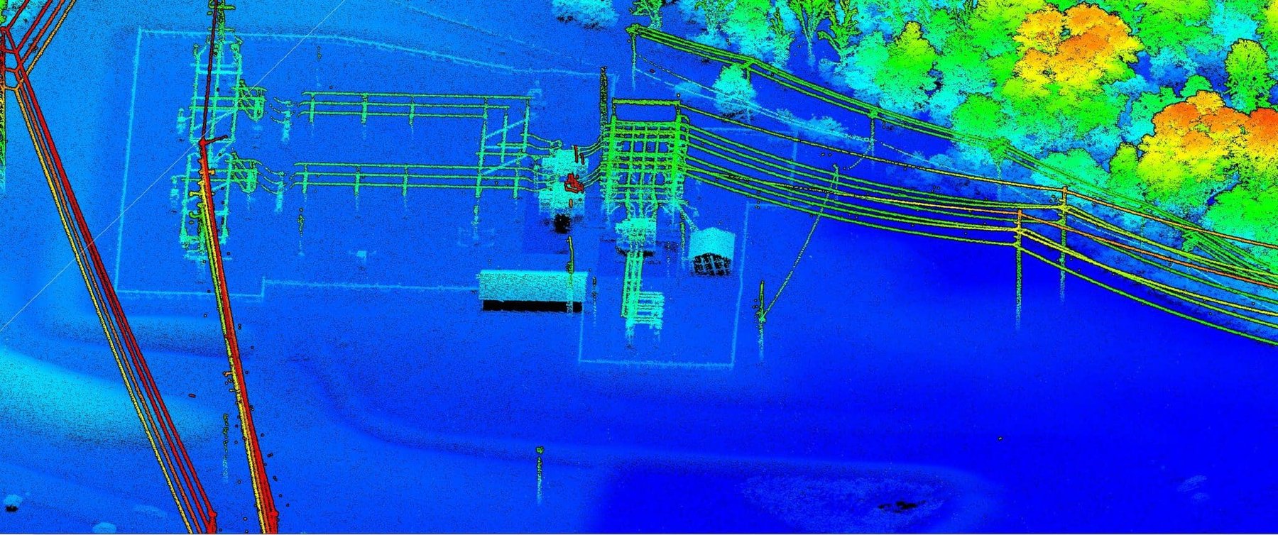
WGI regularly provides survey, SUE, and utility coordination services within Duke Energy’s Florida territory under a master services agreement (MSA). Under this fouryear MSA, WGI has completed more than 90 task work assignments, including right-of-way staking and SUE to support Storm Projection Plan pole replacements, ALTA/NSPS surveys for land acquisition of substations and solar fields, transmission line surveys for easement identification, acquisition, and structure improvements, and unmanned aerial system (UAS) lidar and terrestrial mobile lidar (TML) surveys to capture 3D point clouds for area-wide mapping, topographic surveying, and PLS-CADD preparation. Representative projects in Florida:
• Sky Lake to Taft Substation 69kV Rebuild Topographic, Orlando: WGI established project control and utilized aerial lidar, photogrammetry, and field surveying to complete a pre-construction survey of a 450-foot wide swath of the transmission line corridor between the Sky Lake and Taft substations (approximately 2.5 miles). The aerial acquisition technology allowed the simultaneous collection of imagery and lidar data, which is vital for efficiency and weather station and condition analysis. WGI recently performed quality level B SUE designating and quality level A cube excavations to clear new transmission structures. Right-of-way staking for vegetation clearing is currently underway.
• Main Street Feeder Tie Chase Road Survey Services, Windermere: WGI located the road right-of-way and provided two stakes at each location, one flush to the ground and one easily identified from the road. Deliverables included a coordinates report, a KMZ file, digital pictures of the stakes, and an exhibit showing the road right-of-way, pole locations, edge of pavement, and sidewalks.
• DeLand Industrial Land Purchase Survey, DeLand: WGI prepared a certified ALTA/NSPS boundary and topographic survey for a future substation parcel, including the American Society of Civil Engineers (ASCE) 38-22 Quality Level B (QLB) utility designations. Survey elements included legal descriptions, easements, fences, buildings, structures, improvements, zoning, Federal Emergency Management Agency (FEMA) flood zones, flagged wetlands, environmentally sensitive water bodies, spot elevations, and photos.
• Brooksville Solar Site Survey and SUE, Brooksville: WGI prepared a certified ALTA/NSPS boundary and topographic survey. Topography and features were acquired by UAS lidar. Deliverables included signed and sealed PDFs of the survey, one with an aerial background and one without an aerial background, AutoCAD, and GISMO Shape files.

.png?width=185&height=175&name=WGI%20Icon_Green%20(1).png)