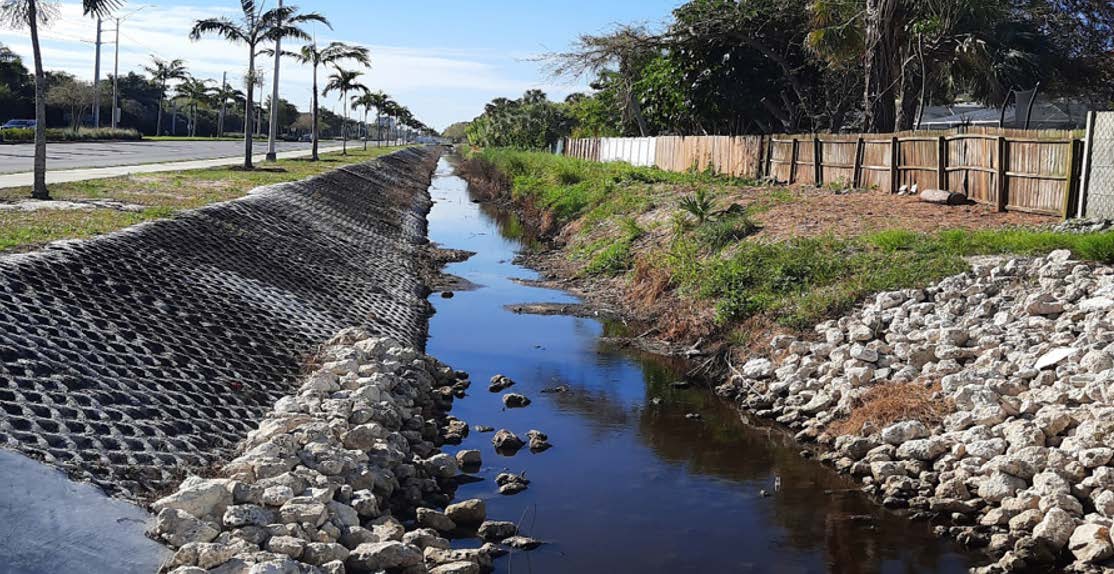
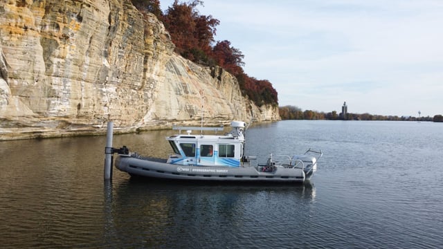
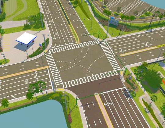
This design project refined the hydraulic model and design improvements (widening and deepening) for the Goodlette-Frank Road ditch to support FEMA flood hazard mitigation funding. The design will optimize the drainage capacity of the ditch by widening it and deepening it. The enhanced capacity of the ditch will benefit the neighborhood areas to the west by lowering flood water levels. The project used mobile and backpack LiDAR for the ditch design survey, ground penetrating radar (GPR), and multiple pipe and cable locating technologies to define the underground utilities during the SUE phase. Mobile LiDAR was also used to collect street, driveway, and structure elevations within portions of neighborhoods west of the Goodlette-Frank Road ditch to provide base flood elevation data.
.png?width=185&height=175&name=WGI%20Icon_Green%20(1).png)


















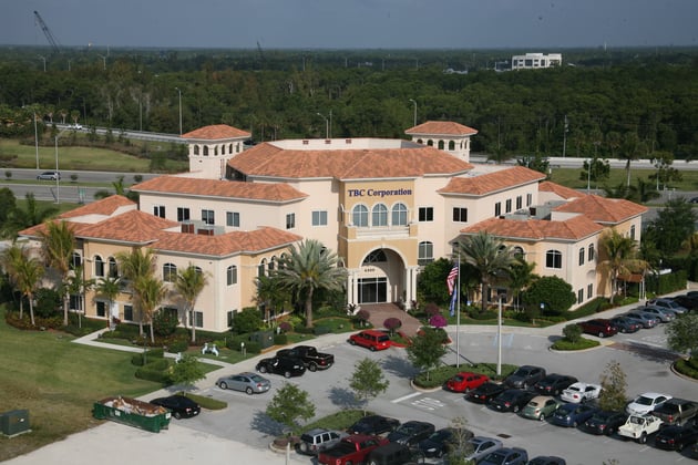 PALM BEACH GARDENS