WGI Icon_Green (1)
WGI Projects
Project Experience

Learn more about successful projects from some of our clients.

Plan Your Next Project!

Kick-start your next project with this quick step-by-step intake form.
About
WGI

WGI is a national design firm creatively transforming infrastructure and real estate through tech-driven services.

Our
Locations

You’ve seen our award-winning team, proven expertise, and industry authority. Now let’s make your next project a success.

Meet Our
Leadership Team

Our Executive Leadership Team and Practice Area Leaders bring decades of experience and client successes to your next project.

Our Practice Area Leadership

Our nationwide team of engineers, surveyors, planners, and architects offers
market-leading experience.

Firm Registrations

WGI holds nationwide registrations to perform engineering, surveying, architecture, and environmental science services.
WGI
Insights Blog

Our blog covers client interests like infrastructure, real estate, regulations, and smart, connected communities.

Whitepapers & Publications

Our whitepapers highlight our design experts' innovative insights and best practices for the AEC industry.

News &
Press Releases

Dedicated to your success, we invite you to subscribe to our newsletter for the latest news, case studies, and insights.

WGI
Media Room

Our passionate design professionals frequently share their expertise at webinars and virtual events.

Grand Canyon National Park Surveying & Field Data Collection

Client:
United States Geological Survey
Market:
Parks
Location:
Arizona

Project Details

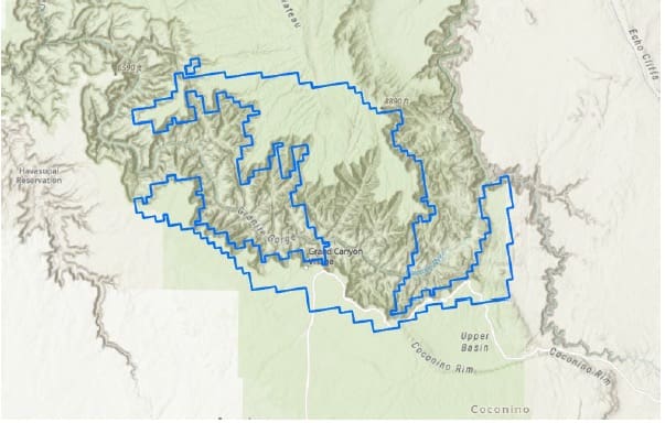
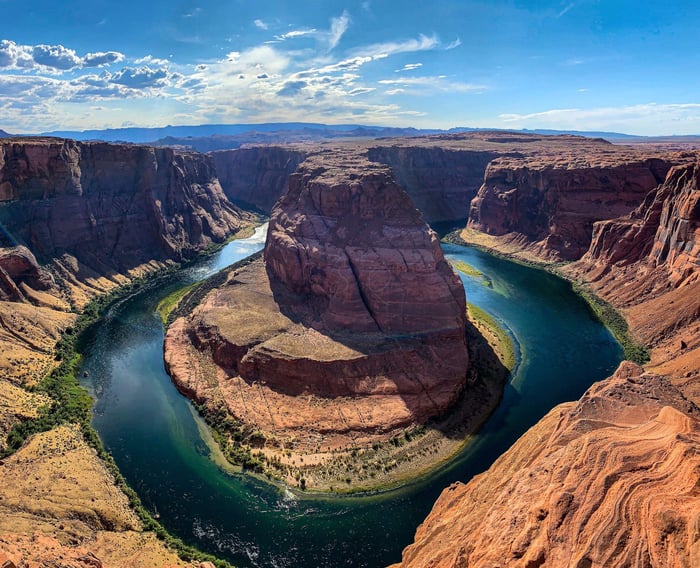
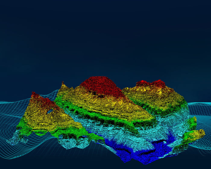
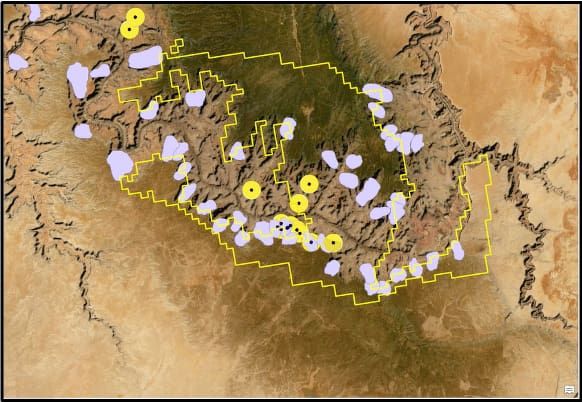
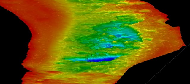
The collaboration between the National Park Service (NPS), the United States Forest Service (USFS), and The United States Geological Survey (USGS) aimed to acquire high-quality elevation data for the Grand Canyon National Park (GCNP). WGI Geospatial, as a prime contractor for the USGS Geospatial Products and Services Contracts (GPSC), was tasked with collecting geodetic control and aerial lidar data for portions of the GCNP. This endeavor marked the first multi-federal agency geospatial collaboration project for the park and resulted in the highest resolution aerial lidar dataset available for the Grand Canyon.

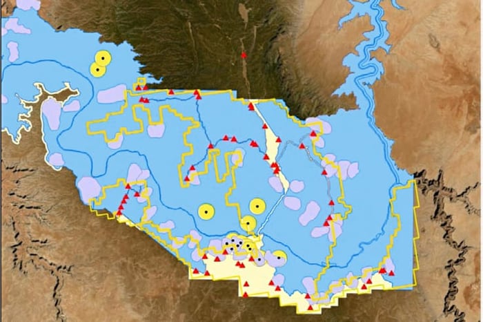
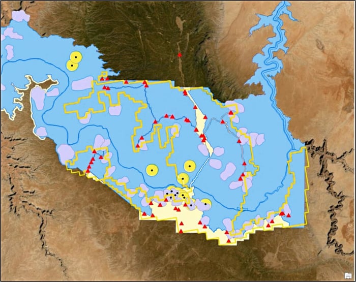
To overcome challenges related to the vast and diverse terrain, land ownership, and land use within the project area, WGI Geospatial meticulously planned its survey control strategy. Utilizing GIS mapping, the team identified access routes, navigated land ownership boundaries, and considered conservation areas to pinpoint optimal ground control locations. This proactive approach ensured the successful execution of the geodetic survey, laying the foundation for accurate lidar data collection.

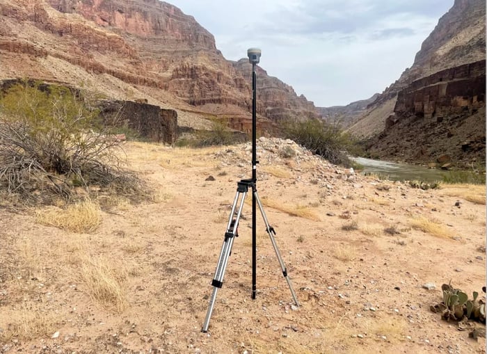
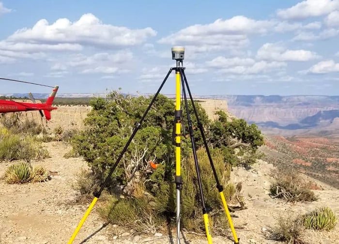
Field data collection involved employing a static network methodology, utilizing Global Navigation Satellite Survey System (GNSS) observations, and mobilizing into the Canyon via helicopter for inaccessible points. WGI Geospatial's meticulous approach to surveying and data collection met the stringent accuracy requirements set by the project, resulting in a successful delivery to multiple federal agencies. This project not only showcased WGI Geospatial's expertise but also demonstrated a commitment to preserving and understanding sensitive natural and cultural landscapes like the Grand Canyon.

Project at a Glance

  • Grand Canyon National Park Surveying & Field Data Collection — image 1
  • Grand Canyon National Park Surveying & Field Data Collection — image 2
  • Grand Canyon National Park Surveying & Field Data Collection — image 3
  • Grand Canyon National Park Surveying & Field Data Collection — image 4
  • Grand Canyon National Park Surveying & Field Data Collection — image 5
  • Grand Canyon National Park Surveying & Field Data Collection — image 6
  • Grand Canyon National Park Surveying & Field Data Collection — image 7
  • Grand Canyon National Park Surveying & Field Data Collection — image 8
  • Grand Canyon National Park Surveying & Field Data Collection — image 9
  • Grand Canyon National Park Surveying & Field Data Collection — image 10

Contact Our Team About Your Next Project.

At WGI, we creatively transform how our world is envisioned, designed, and experienced. Our expert team of professional engineers is ready to help.

Guided by Local Expertise