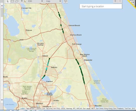
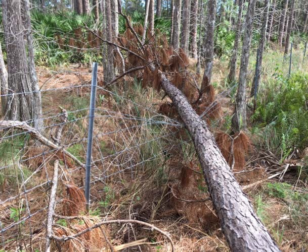
This emergency repair project encompassed over 300 miles of limited access rightof- way fencing damaged by Hurricane Matthew. WGI’s Environmental Services Division supported the condensed design schedule for this project, combining desktop GIS analyses with pedestrian investigation. Using multiple GIS datasets available from public sources, analysts created a geodatabase of fence repair limits based on milepost off-sets provided by FDOT’s Maintenance consultants. The location information of the damaged areas of fence were then field verified and grouped by habitat type. Conditions were documented in a field notebook, photographed, and linked to the location in a GIS database. Sightings of protected species or their habitat were collected and incorporated into the construction plan set. Modified Special Provisions for specific species were prepared and approved by the FDOT Office of Environmental Management, satisfying NEPA review requirements for the project.
.png?width=185&height=175&name=WGI%20Icon_Green%20(1).png)


















 JACKSONVILLE