WGI Icon_Green (1)
WGI Projects
Project Experience

Learn more about successful projects from some of our clients.

Plan Your Next Project!

Kick-start your next project with this quick step-by-step intake form.
About
WGI

WGI is a national design firm creatively transforming infrastructure and real estate through tech-driven services.

Our
Locations

You’ve seen our award-winning team, proven expertise, and industry authority. Now let’s make your next project a success.

Meet Our
Leadership Team

Our Executive Leadership Team and Practice Area Leaders bring decades of experience and client successes to your next project.

Our Practice Area Leadership

Our nationwide team of engineers, surveyors, planners, and architects offers
market-leading experience.

Firm Registrations

WGI holds nationwide registrations to perform engineering, surveying, architecture, and environmental science services.
WGI
Insights Blog

Our blog covers client interests like infrastructure, real estate, regulations, and smart, connected communities.

Whitepapers & Publications

Our whitepapers highlight our design experts' innovative insights and best practices for the AEC industry.

News &
Press Releases

Dedicated to your success, we invite you to subscribe to our newsletter for the latest news, case studies, and insights.

WGI
Media Room

Our passionate design professionals frequently share their expertise at webinars and virtual events.

L-40 Topographic and Boundary Survey

Client:
South FL Water Management District
Market:
Water & Environment
Location:
Palm Beach County, FL

Project Details

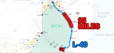
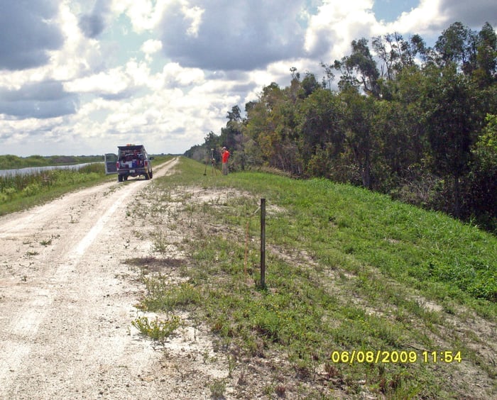
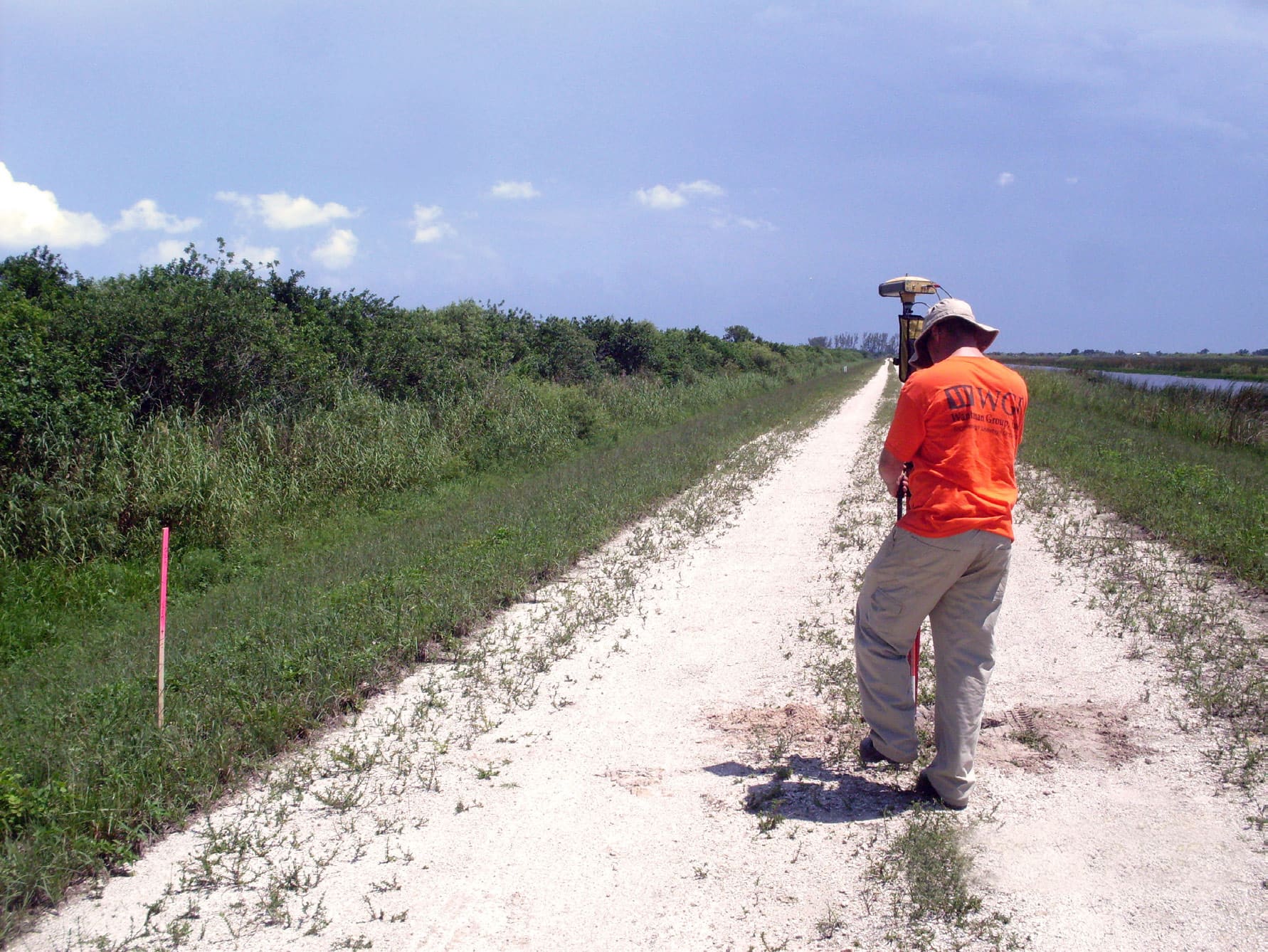
This project consisted of 24 miles of right-of-way boundary, muck probes, levee cross sections, and establishing horizontal and vertical control networks, as well as 30 miles of centerline levee profiling. This levee was recently inspected by the Army Corps of Engineers and had several deficiencies. South Florida Water Management District (SFWMD) was tasked with making repairs and improvements since the levee is critical in protecting eastern Palm Beach County from flooding from the Everglades. WGI met with the SFWMD Engineer and reviewed their specific needs for this project. With an urgent turnaround time of 90 days, and the beginning of the rainy season, WGI utilized an amphibious “Marsh Master” to enable our crews to continue working in waist deep water. Over 300 monuments were set, 2,000 muck probes were taken, and 15 miles of cross sections were performed. Both surveys were delivered on time and within budget.

Project at a Glance

  • L-40 Topographic and Boundary Survey — image 1
  • L-40 Topographic and Boundary Survey — image 2

Contact Our Team About Your Next Project.

At WGI, we creatively transform how our world is envisioned, designed, and experienced. Our expert team of professional engineers is ready to help.