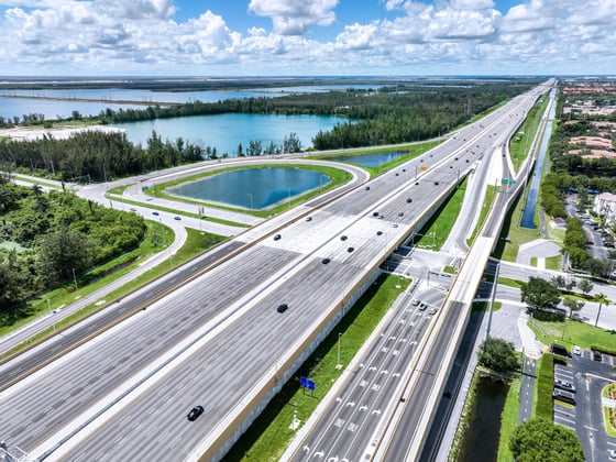
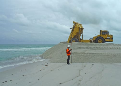
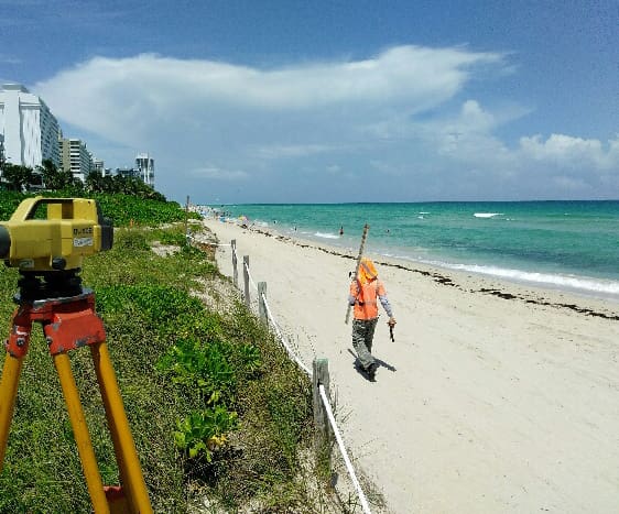
WGI provided topographic surveys of the pre-construction and post-construction conditions of over 4,000 feet of beach shoreline in order to monitor placement of material for construction support. Survey support included verifying and setting horizontal and vertical control, conducting level loops, performing pre-construction, compensating slope, and post-construction cross-sections of both upland and submerged land to approximately 500 feet offshore. Project deliverables included creating Digital Terrain Models (DTM), comparison cross-sections, and volume calculations to verify pay quantities and confirm finished construction adherence to the design template.
.png?width=185&height=175&name=WGI%20Icon_Green%20(1).png)


















 PORT ST. LUCIE
%20copy%203.png?width=640&height=420&name=MicrosoftTeams-image%20(2)%20copy%203.png)