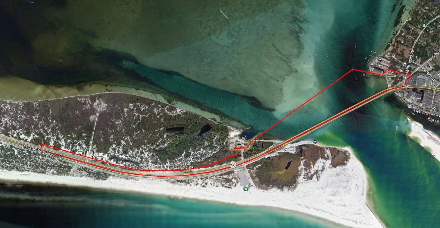
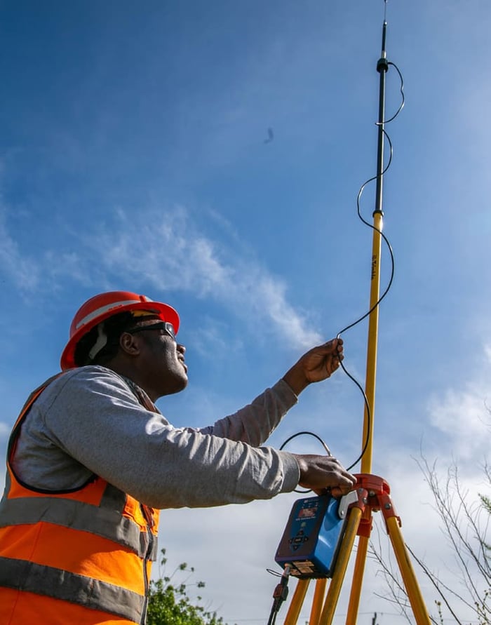
Patrick Engineering contracted WGI to perform various survey tasks for the installation of a new gas line across the Destin Bridge crossing. WGI performed hydrographic, topographic, boundary, and SUE tasks. The hydrographic and topographic portions were obtained utilizing single-beam data from shoreline to shoreline and upland features along the proposed route. Quality level B field investigation was completed for existing utilities. WGI also recovered section corners, right-of-way monumentation, and property corners to aid in the creation of legal descriptions and sketches for upland easements as well as a submerged land lease. This project included coordination with the local USCG Station Destin, for access to collect additional topographic information.
.png?width=185&height=175&name=WGI%20Icon_Green%20(1).png)


















%20copy%203.png?width=640&height=420&name=MicrosoftTeams-image%20(2)%20copy%203.png) DELRAY BEACH
DELRAY BEACH