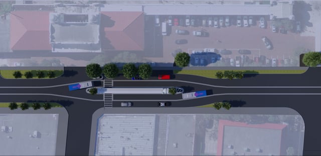
The purpose of this project is to initiate the design option of the PD&E study of the Orlando South Ultimate Interchange at SR 91 and SR Taft Vineland Road and bring the design to Phase I design plans and 90% Equivalent FGT coordination. The ultimate interchange redesign includes reliever interchanges at Florida’s Turnpike and Taft-Vineland Road State, Road 528 at Voltare Drive, and this multi-system interchange of Florida’s Turnpike, State Road 528, and US highway 441. WGI is providing Surveying, Right-of-Way Mapping, Terrestrial Mobile LiDAR, Utility Coordination, and Landscape Architecture services in support of the project.
Project Highlights:
• This project includes Terrestrial Mobile LiDAR scanning of over 30 scan miles of roadway on surface streets and elevated limited-access roadways with varying typical sections. Multiple WGI field crews set and established XYZ coordinates on over 300 targets throughout the project, allowing a TML scan crew to collect data on all paved surfaces safely and quickly. All of which allowed quick turnaround to the project photogrammetry team for incorporation into the master design survey terrain model for use in design.
.png?width=185&height=175&name=WGI%20Icon_Green%20(1).png)




















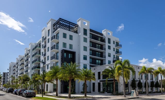 LAKE WORTH BEACH