WGI Icon_Green (1)
WGI Projects
Project Experience

Learn more about successful projects from some of our clients.

Plan Your Next Project!

Kick-start your next project with this quick step-by-step intake form.
About
WGI

WGI is a national design firm creatively transforming infrastructure and real estate through tech-driven services.

Our
Locations

You’ve seen our award-winning team, proven expertise, and industry authority. Now let’s make your next project a success.

Meet Our
Leadership Team

Our Executive Leadership Team and Practice Area Leaders bring decades of experience and client successes to your next project.

Our Practice Area Leadership

Our nationwide team of engineers, surveyors, planners, and architects offers
market-leading experience.

Firm Registrations

WGI holds nationwide registrations to perform engineering, surveying, architecture, and environmental science services.
WGI
Insights Blog

Our blog covers client interests like infrastructure, real estate, regulations, and smart, connected communities.

Whitepapers & Publications

Our whitepapers highlight our design experts' innovative insights and best practices for the AEC industry.

News &
Press Releases

Dedicated to your success, we invite you to subscribe to our newsletter for the latest news, case studies, and insights.

WGI
Media Room

Our passionate design professionals frequently share their expertise at webinars and virtual events.

SR 429 (Western Beltway) Existing Roadway Conditions Assessment Report

Client:
Florida’s Turnpike Enterprise
Market:
Transportation, Highways, Roadways & Bridges
Location:
Orange, Lake, & Seminole Counties, Florida

Project Details

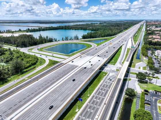
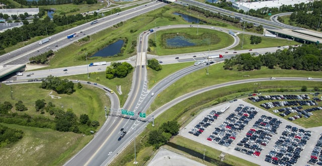
WGI was contracted by Florida’s Turnpike Enterprise (FTE) to prepare an Existing Roadway Conditions Assessment Report (ERCAR) for the SR 429 Western Beltway, from MP 0.0 to MP 5.3, in Osceola County and from MP 5.3 to MP 11.0 in Orange County. The scope of work consisted of a detailed analysis of existing roadway conditions concerning design standards and safety of the roadway, bridges, drainage, signing, and other miscellaneous project components. The assessment results were summarized, and recommendations for roadway and safety improvements were made based on practical design and feasibility to construct.

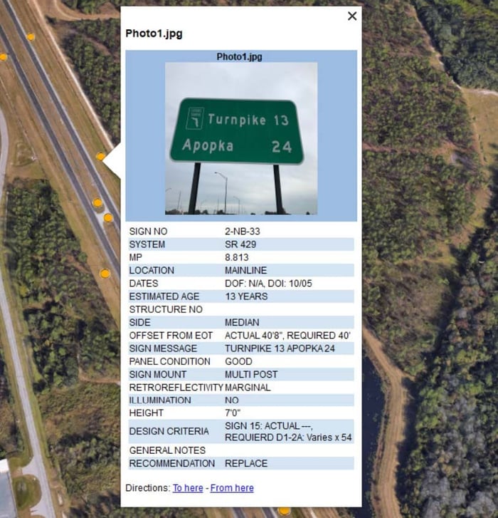
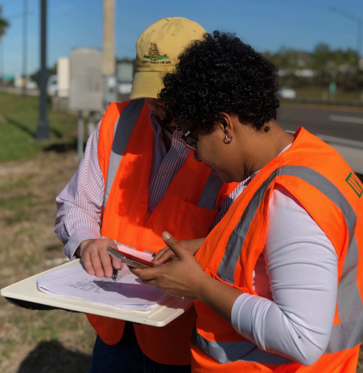
Mobile LiDAR, an innovative solution, was used in the collection of feature locations and measurements of horizontal and vertical offsets. In addition to this method, the GIS staff created mobile field data collection applications, accessible on smart devices, for multiple assets (light poles, signs, drainage structures, environmental assessment, and guardrails) to perform assessments more efficiently. GIS team members coordinated with field staff, surveyors, and engineers to provide spatial and tabular data for reporting. Information and images obtained during the field review were processed and provided as an advanced KMZ deliverable for FTE and contractor use.

Project Cost $282,000.00

Project at a Glance

  • SR 429 (Western Beltway) Existing Roadway Conditions Assessment Report — image 1

Contact Our Team About Your Next Project.

At WGI, we creatively transform how our world is envisioned, designed, and experienced. Our expert team of professional engineers is ready to help.

Guided by Local Expertise