Resilient Water Consulting, Engineering, and Infrastructure
Specialized water, wastewater, and stormwater engineering connects regulatory needs with practical infrastructure decisions. Within a multidisciplinary firm, WGI pairs modeling and field insight to improve aging systems and protect project budgets.
Regional Trust
Over 60 continuing public agency contracts demonstrate our robust Southeast track record and regulatory footprint.
Budget Protection
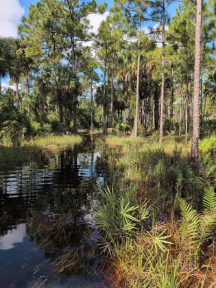
Constraint mapping isolates wetland and species limits before horizontal mistakes disrupt your budget.
Core Services
Contamination Assessment & Remediation
Contamination work begins with field data that defines site conditions, regulatory obligations, and cleanup strategy.
Wetlands Permitting
Precise wetland delineation stops costly alignment layout errors before you invest capital in vertical engineering assets.
Listed Species Mapping
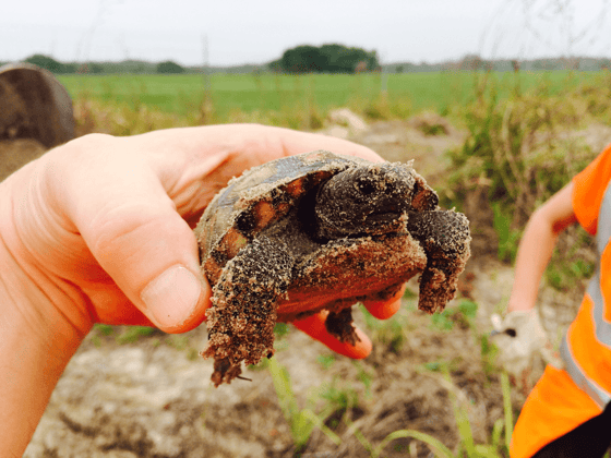
Identifying protected species early blocks regulatory fines and surprise shutdowns that stall major construction timelines.
Trees, Uplands, and Development Support
Comprehensive arborist surveys and land planning integrations optimize site yields while matching local ordinances.
Related Services
Geospatial & Land Surveying
Accurate site data gives water and wastewater teams the foundation for routing, permitting, and design decisions.
Water infrastructure projects become more expensive when hidden issues appear late. WGI’s digital capabilities give utility teams earlier insight into system performance and field risk, making it easier to avoid changes that strain budgets during delivery.
System Modeling
Hydraulic models reveal where systems are under strain, giving owners a cost-aware basis for capacity improvements.
GIS-Based Utility Mapping
Utility mapping gives design teams location-specific data before unknown lines create field changes or delays.
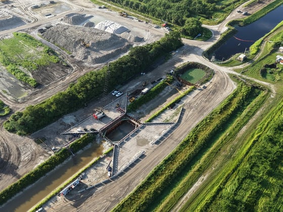
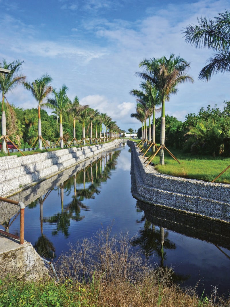
Past flooding from tropical storms prompted the City to request a design and construction engineering inspection for three major stormwater projects, with fundi…
Location
Fort Pierce, FL
Asset Class
Public Infrastructure
View project
Contact Our Team About Your Next Project.
At WGI, we creatively transform how our world is envisioned, designed, and experienced.


.jpg?width=1679&height=1080&name=2.1.6%20Water%20+%20Environment%20(9).jpg)
.jpg?length=2700&name=2.1.6%20Water%20+%20Environment%20(1).jpg&hsLang=en)
.jpg?length=2700&name=2.1.6%20Water%20+%20Environment%20(8).jpg&hsLang=en)
.jpg?length=2700&name=2.1.6%20Water%20+%20Environment%20(6).jpg&hsLang=en)
.png?width=185&height=175&name=WGI%20Icon_Green%20(1).png)


















.jpg?width=750&name=2.1.6%20Water%20+%20Environment%20(8).jpg)
.jpg?width=1620&height=1080&name=2.1.6%20Water%20+%20Environment%20(5).jpg)