.png?width=185&height=175&name=WGI%20Icon_Green%20(1).png)


















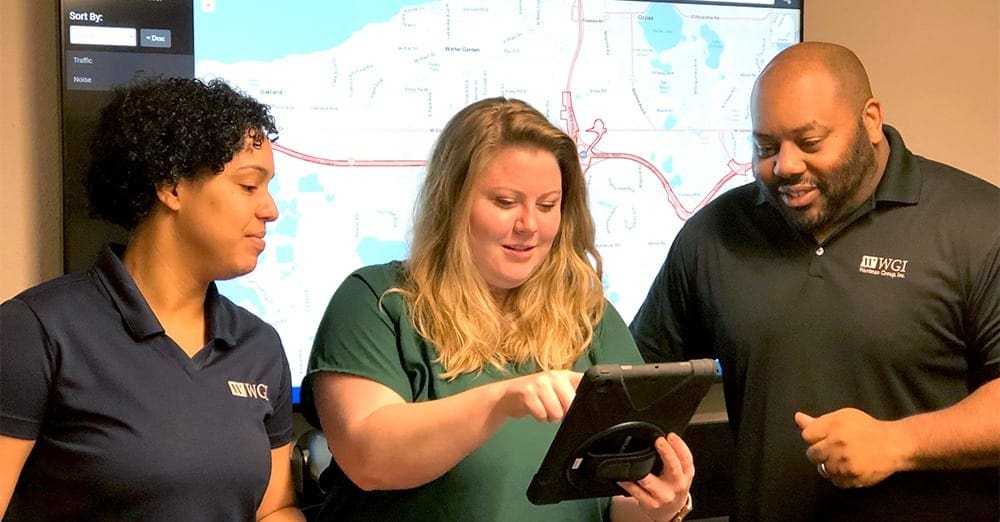
In an industry of rapidly changing technology, WGI commits to staying ahead of the curve. As a prominent national design firm in the public and private infrastructure markets, WGI works with an abundance of data from different sources. In recent years, Geographic Information System (GIS) rapidly expanded into the AEC (Architecture, Engineering, Construction) industry, giving us the tools to create, manage, analyze, and visualize the data associated with developing and managing infrastructure.
GIS is increasingly more important within engineering companies. For WGI to affirm its national trademark, Tomorrow’s Technology Today, it’s time we embrace GIS and appreciate its value.
 Gary E. and Francina G. using Collector in the field to assess drainage for the SR 429 ERCAR project[/caption]
WGI recently deployed Collector for ArcGIS to aid in field data collection efforts. Collector for ArcGIS is a mobile cloud-based field data collection application, making it easy to capture accurate data and seamlessly publish in real-time to ArcGIS Online. With Collector, field crews input attribute data and add attachments including photos, videos, and even audio recordings. Paper forms become obsolete for field crews and office staff who typically enter the data; now everyone works from the same data source at all times. The SR 429 ERCAR project was one of our first implementations of Collector. Our geospatial department collected all sign and pole locations using mobile lidar but not all attributes scoped for feature collection were extractable from the survey data. We used Collector to document this information by making a web map of each feature as a point, then configuring the attributes that required collection. Clicking a single point on a map shows the information about the sign and associated photo. This makes the ground truthing more efficient and allows us to provide clients an alternative deliverable. These applications are designed to be user-friendly and require minimal training.
[caption id="attachment_30737" align="alignnone" width="768"]
Gary E. and Francina G. using Collector in the field to assess drainage for the SR 429 ERCAR project[/caption]
WGI recently deployed Collector for ArcGIS to aid in field data collection efforts. Collector for ArcGIS is a mobile cloud-based field data collection application, making it easy to capture accurate data and seamlessly publish in real-time to ArcGIS Online. With Collector, field crews input attribute data and add attachments including photos, videos, and even audio recordings. Paper forms become obsolete for field crews and office staff who typically enter the data; now everyone works from the same data source at all times. The SR 429 ERCAR project was one of our first implementations of Collector. Our geospatial department collected all sign and pole locations using mobile lidar but not all attributes scoped for feature collection were extractable from the survey data. We used Collector to document this information by making a web map of each feature as a point, then configuring the attributes that required collection. Clicking a single point on a map shows the information about the sign and associated photo. This makes the ground truthing more efficient and allows us to provide clients an alternative deliverable. These applications are designed to be user-friendly and require minimal training.
[caption id="attachment_30737" align="alignnone" width="768"]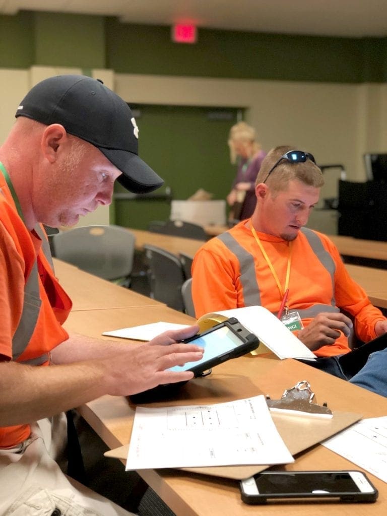 Field crews using Survey123 for the University of South Florida Permit Stratification project.[/caption]
WGI also implemented Survey123 for ArcGIS, a data collection workflow using smart forms; associates decide which questions to ask and what answers are acceptable. These predefined questions and answers are designed and programmed in an Excel format prior to data collection, and seamlessly integrate with GIS. Users upload their data on the fly for immediate analysis and monitor of progress by office staff. WGI rolled out Survey 123 for ArcGIS during the University of South Florida Parking Study project for the permit-stratification task to track which and how many of each permit exists in a particular lot or garage. Survey123 further maintains data integrity and the real-time analysis of information. These web-based mapping applications are revolutionizing the way WGI collects information, saving time and providing our engineers, surveyors, and other field personnel with an improved and more efficient method of acquiring accurate data.
Field crews using Survey123 for the University of South Florida Permit Stratification project.[/caption]
WGI also implemented Survey123 for ArcGIS, a data collection workflow using smart forms; associates decide which questions to ask and what answers are acceptable. These predefined questions and answers are designed and programmed in an Excel format prior to data collection, and seamlessly integrate with GIS. Users upload their data on the fly for immediate analysis and monitor of progress by office staff. WGI rolled out Survey 123 for ArcGIS during the University of South Florida Parking Study project for the permit-stratification task to track which and how many of each permit exists in a particular lot or garage. Survey123 further maintains data integrity and the real-time analysis of information. These web-based mapping applications are revolutionizing the way WGI collects information, saving time and providing our engineers, surveyors, and other field personnel with an improved and more efficient method of acquiring accurate data.
Capture/Managing Data
GIS is a powerful tool for managing large quantities of data related to asset/infrastructure management. Given that assets have a spatial component, visualizing assets and their surrounding environment is the most effective way of logging them. But GIS is much more than simply a way of mapping asset locations; it can store nearly limitless amounts of information associated with the asset, as attributes, to analyze and query data at a deeper level. [caption id="attachment_30736" align="alignnone" width="768"] Gary E. and Francina G. using Collector in the field to assess drainage for the SR 429 ERCAR project[/caption]
WGI recently deployed Collector for ArcGIS to aid in field data collection efforts. Collector for ArcGIS is a mobile cloud-based field data collection application, making it easy to capture accurate data and seamlessly publish in real-time to ArcGIS Online. With Collector, field crews input attribute data and add attachments including photos, videos, and even audio recordings. Paper forms become obsolete for field crews and office staff who typically enter the data; now everyone works from the same data source at all times. The SR 429 ERCAR project was one of our first implementations of Collector. Our geospatial department collected all sign and pole locations using mobile lidar but not all attributes scoped for feature collection were extractable from the survey data. We used Collector to document this information by making a web map of each feature as a point, then configuring the attributes that required collection. Clicking a single point on a map shows the information about the sign and associated photo. This makes the ground truthing more efficient and allows us to provide clients an alternative deliverable. These applications are designed to be user-friendly and require minimal training.
[caption id="attachment_30737" align="alignnone" width="768"] Field crews using Survey123 for the University of South Florida Permit Stratification project.[/caption]
WGI also implemented Survey123 for ArcGIS, a data collection workflow using smart forms; associates decide which questions to ask and what answers are acceptable. These predefined questions and answers are designed and programmed in an Excel format prior to data collection, and seamlessly integrate with GIS. Users upload their data on the fly for immediate analysis and monitor of progress by office staff. WGI rolled out Survey 123 for ArcGIS during the University of South Florida Parking Study project for the permit-stratification task to track which and how many of each permit exists in a particular lot or garage. Survey123 further maintains data integrity and the real-time analysis of information. These web-based mapping applications are revolutionizing the way WGI collects information, saving time and providing our engineers, surveyors, and other field personnel with an improved and more efficient method of acquiring accurate data.