

















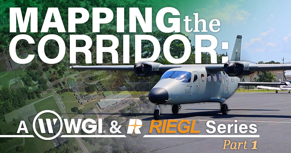
At the end of August, teams from RIEGL USA, WGI, and Air Data Solutions (ADS) came together in Alabama for a multi-day field evaluation of the RIEGL VQ-1060 airborne LiDAR system. Designed specifically for corridor mapping applications, the RIEGL VQ-1060 was put through a series of operational and data collection exercises intended to demonstrate how its unique multi-directional scanning and image capture capabilities can support modern transportation and utility infrastructure projects.
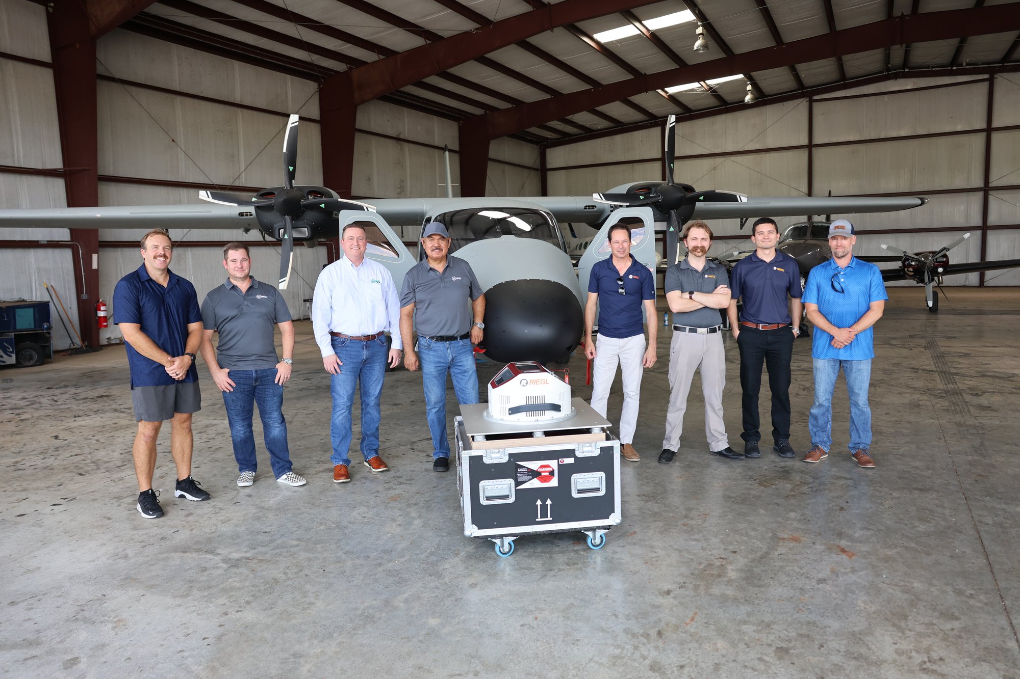
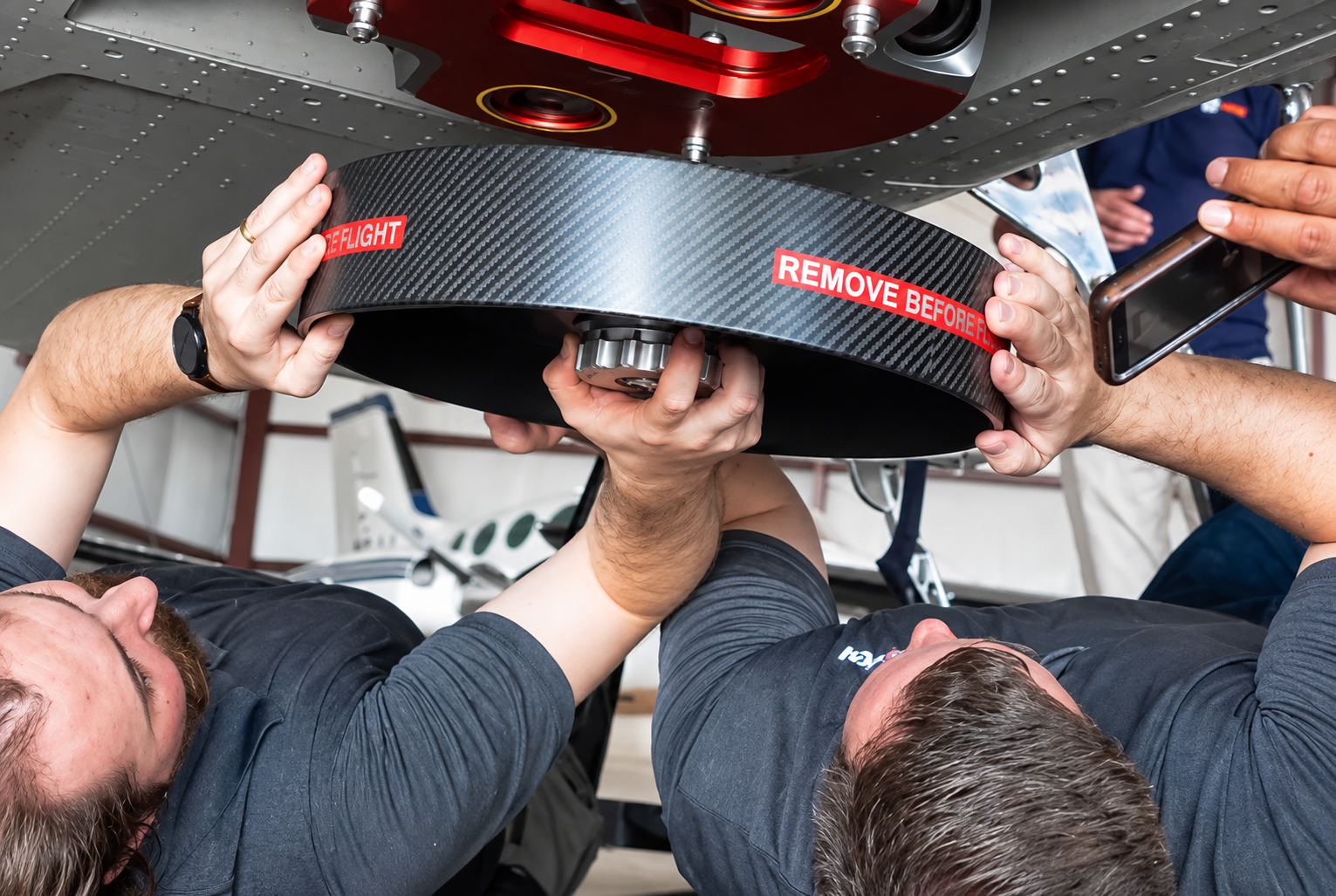
RIEGL VQ-1060 ready to be deployed by the RIEGL USA, WGI, and ADS teams
The evaluation provided an opportunity to move beyond specifications and examine system performance in realistic project conditions. From aircraft integration and mission planning to data acquisition and review, participants experienced the complete workflow firsthand while discussing practical applications across transportation engineering, utility asset management, and infrastructure surveying and mapping.
Purpose-Built for Corridor Mapping
Unlike traditional airborne mapping projects that focus primarily on broad terrain coverage, corridor mapping presents a distinct set of challenges. Transportation routes, transmission lines, railways, and other linear infrastructure often extend across long, narrow project areas containing a combination of terrain, vegetation, overhead utilities, bridges, and complex vertical features.
The RIEGL VQ-1060 was developed specifically to address these challenges. By combining high-performance LiDAR with integrated imaging and leveraging nadir, forward, and backward (NFB) looking scanning geometry, the system is designed to capture both the terrain surface and critical infrastructure details from multiple perspectives during a single flight pass.
This approach provides enhanced visibility of vertical structures and assets that may be difficult to efficiently observe using conventional nadir-only airborne sensors, helping deliver the comprehensive datasets required for today’s transportation and utility corridor projects.
A Collaborative Evaluation
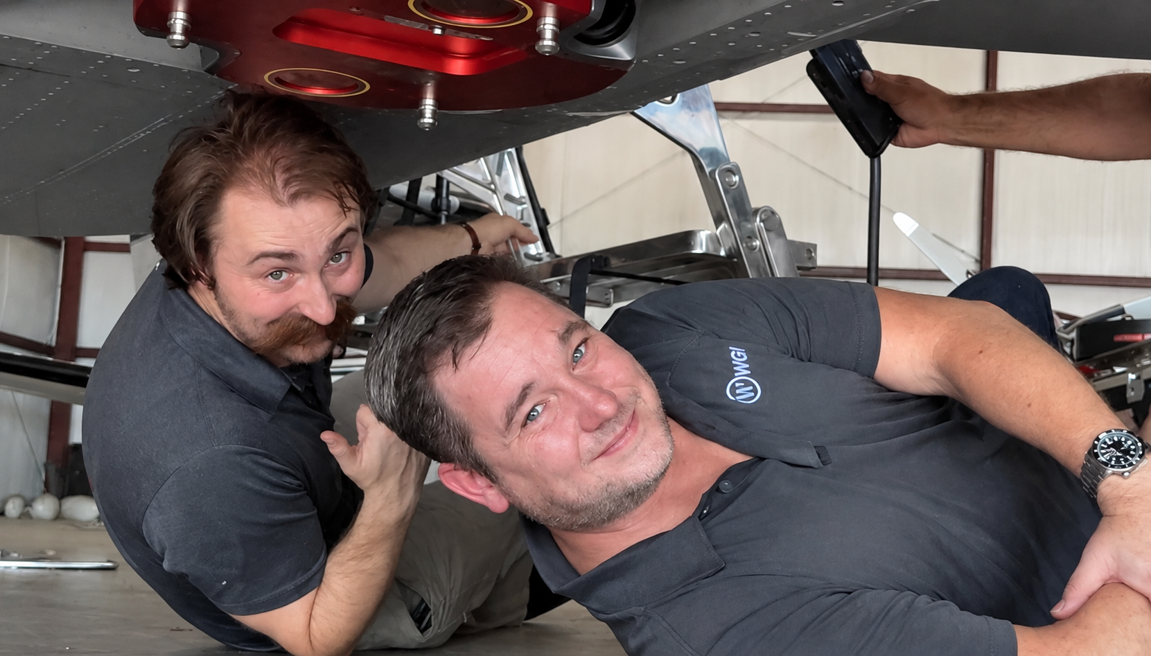
Left to right: Travis Hoffman, RIEGL USA Senior ALS Applications Engineer, and David Joyner, Geomaticist 1, WGI
The field evaluation brought together three organizations with complementary expertise.
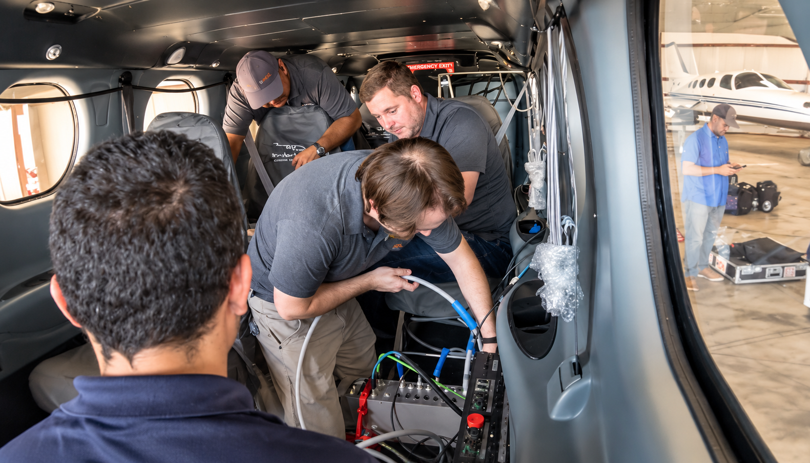
The RIEGL USA team led the installation, system integration, calibration, and operational oversight of the RIEGL VQ-1060 throughout the project. Their involvement provided participants with direct insight into system configuration, mission planning considerations, and data acquisition workflows while enabling real-time discussion around application-specific collection strategies.
WGI’s geospatial professionals participated to provide direct consultant experience in assessing how advanced airborne mapping technologies can support the transportation and utility data they deliver for clients across the United States.
ADS supplied the Tecnam P2012 survey aircraft and flight operations expertise. The twin-engine platform served as the airborne testbed for the evaluation, supporting multiple collection missions throughout the demonstration period.
Together, the teams examined both sensor performance and operational efficiency, creating opportunities for valuable discussions around infrastructure mapping requirements, workflow optimization, and the data deliverables best suited to support asset owners.
Evaluating the Entire Workflow
During the evaluation, participants reviewed the complete operational workflow, including aircraft integration, mission planning, data acquisition, post-processing considerations, and applicability to specific standards. Discussions focused on how corridor-specific flight planning affects coverage, how easily sensor operators can use the system in the field, and how acquired datasets progress through existing processing and delivery pipelines.
Special attention was given to data completeness and the ability to capture infrastructure details beneath vegetation, along utility corridors, and on vertical surfaces. Participants reviewed both LiDAR and imagery datasets collected during the flights and explored how the resulting information could support engineering, design, and asset management applications.
The evaluation also highlighted considerations that can influence project success, including acquisition efficiency, processing workflows, and final deliverable requirements. A collection system must not only acquire quality data, but also integrate effectively into production environments where schedules and project budgets matter.
Supporting Transportation and Utility Infrastructure Projects
The applications for corridor-focused airborne LiDAR continue to expand as infrastructure owners seek more detailed and comprehensive geospatial information.
For transportation agencies, accurate mapping of roads, rail corridors, bridges, interchanges, and surrounding terrain is essential for planning, engineering, and maintenance programs. Airborne collection offers an efficient means of capturing large project extents while minimizing the need for personnel to work in active transportation environments.
Utility operators face similar requirements. Transmission and distribution networks frequently extend across challenging terrain, requiring accurate documentation of conductors, structures, surrounding vegetation, and potential clearance concerns.
The RIEGL VQ-1060’s ease of use, pulse densities, and multi-directional scanning design were of particular interest because of its ability to capture infrastructure assets from multiple viewing angles within a single collection mission.
In addition to supporting transportation and utility applications, the RIEGL VQ-1060’s integrated design can help streamline projects that require multiple geospatial datasets. By combining high-performance LiDAR with integrated imaging in a single payload, organizations can collect complementary data during the same mission, reducing the need for separate collection efforts and improving overall project efficiency.
Advancing the Future of Corridor Data Collection
Field evaluations such as the Huntsville campaign provide valuable opportunities to connect sensor developers, aviation partners, and geospatial professionals in a real-world operating environment. By examining both system performance and workflow efficiency, participants gain practical insight into how emerging technologies can be applied to increasingly demanding infrastructure projects.
For WGI, the Huntsville evaluation reflects how the firm approaches new technology. WGI’s geospatial team tests emerging collection methods firsthand before recommending them for client work. That way, the advice it gives transportation agencies and utility owners comes from direct experience, not a spec sheet. Watching the VQ-1060 run through a complete workflow, from aircraft integration and flight planning through data review, adds to that experience. It also sharpens how WGI scopes corridor projects around accuracy, access, schedule, and deliverable requirements.
WGI and RIEGL are currently working through some of the collected datasets, and what the team learns will inform how WGI advises clients on airborne corridor collection. The evaluation also points to a broader industry trend: growing demand for geospatial technology that delivers complete, high-density infrastructure data efficiently and accurately.
Plan Your Next Corridor Project with WGI
Whether you’re planning a highway corridor, a transmission line, or a utility asset inventory, the right collection strategy starts with your project limits, site conditions, accuracy requirements, and intended deliverables. Explore WGI’s remote sensing and LiDAR services, or connect with our geospatial team to talk through your next corridor project.
Stay tuned for a follow-up article in the WGI Insights blog showcasing the data captured during this field evaluation!
About WGI
WGI is a national design and professional services firm leading in technology-based solutions for public infrastructure and real estate development. Founded in 1972 and headquartered in West Palm Beach, Florida, WGI provides engineering, planning, and geospatial services from 25 offices in 11 states. The firm has delivered more than 22,000 projects for public agencies, municipalities, and private clients.
WGI’s geospatial practice provides land surveying, remote sensing and LiDAR, UAS mapping, hydrographic surveying, GIS, and subsurface utility engineering for transportation, utility, and federal clients. The team tests new collection technology firsthand and builds each project’s data strategy around its site conditions, accuracy requirements, and deliverables.
About RIEGL USA
Experience the power of precision with RIEGL USA, your trusted partner for advanced LiDAR solutions. As the North American headquarters of RIEGL, we connect customers with over 45 years of global innovation in high-performance laser scanning technology.
RIEGL’s comprehensive portfolio, spanning airborne, bathymetric, mobile, terrestrial, industrial, and UAV-based applications, is built on proprietary smart-waveform technology, delivering exceptional accuracy, reliability, and data quality in every measurement.
RIEGL USA brings this global expertise together with local support. With dedicated teams for sales, training, service, and technical support, along with NDAA-compliant UAV and bathymetric solutions and CMMC Level 2–compliant operations, we help ensure secure, efficient workflows and confident project execution for U.S. customers.