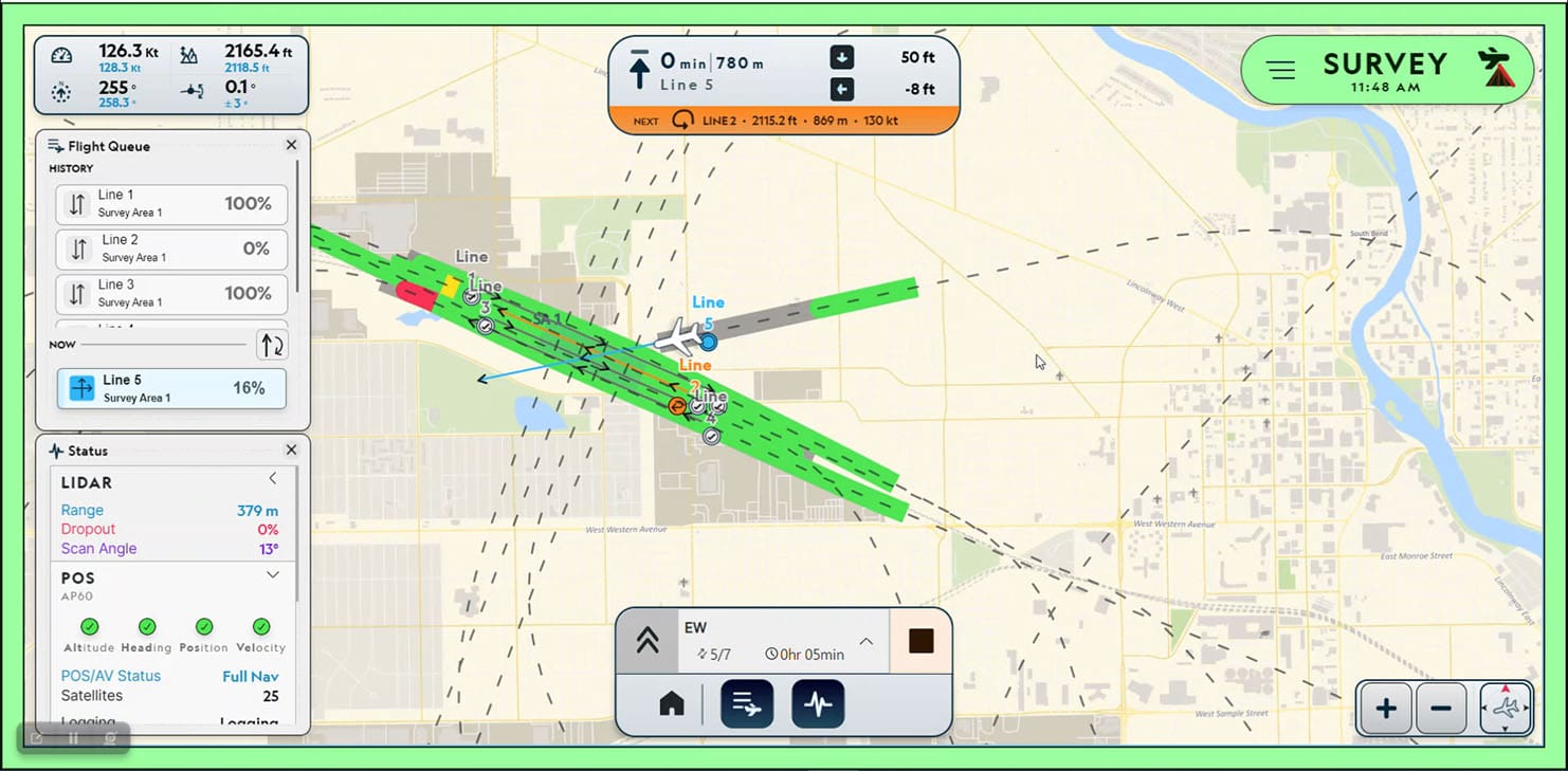
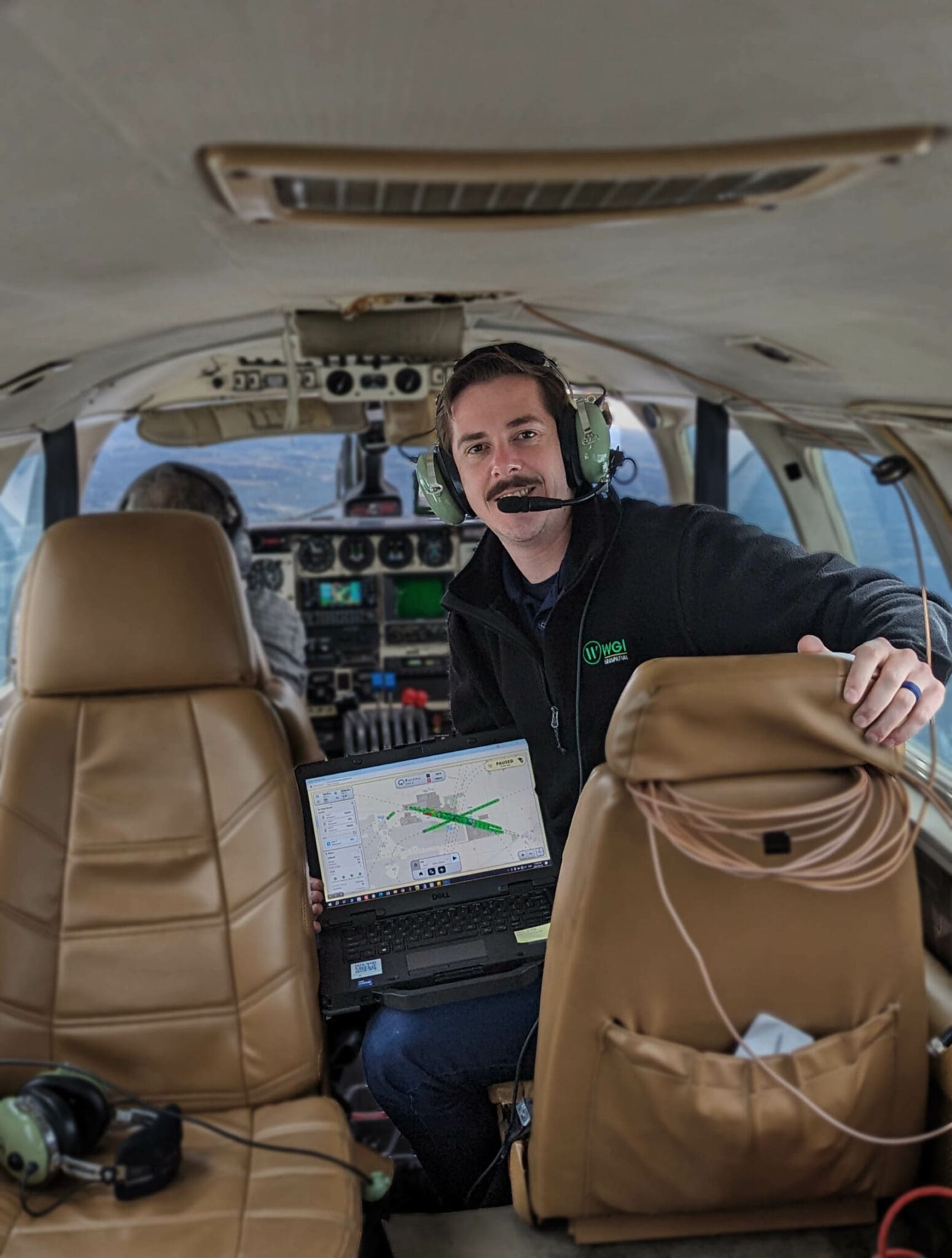
WGI is an award-winning engineering services firm recognized for its exceptional service and innovative work in the design of technology-driven solutions for the construction and management of public infrastructure, real estate, and natural resources. As a national and multidisciplinary consulting firm, WGI uses a host of geospatial and survey technologies, including airborne lidar/imagery (both crewed and uncrewed), terrestrial mobile lidar, static scanning, ground penetrating radar, and sonar. The company works with hardware and software from several leading manufacturers, which requires an emphasis on easy-to-use survey products and rapid verification of geospatial data to maintain quality in their field operations. When they came upon a solution such as the Galaxy Onboard, it was a perfect fit with these values. Teledyne Optech Galaxy Onboard provides the following:
Enhanced flight management system: Easy to use, automates error-prone tasks, and significantly reduces training costs.
QC System: Evaluates data according to a user-defined specification in real-time in the airplane.
Reporting: Full report available on landing showing progress and surfacing quality issues. Enables immediate planning for the next flight and milestone billing on progress.
Overall, Onboard will support sensor operators to action on data quality concerns in the air and organizations to reduce standby and rework costs. This means better adherence to schedules and commitments.
Here’s what Mark Topping, Geospatial Technology Specialist III at WGI Geospatial, had to say:
"As a long-time lidar sensor user with an understanding of Teledyne Optech sensors and workflows, I was looking forward to experiencing the Teledyne Galaxy Onboard solution, and I admit to being impressed after a successful demonstration on one of our projects. The first words that come to mind are slick, easy to use, and a modern look and feel. The user interface provides the right amount of flexibility without being overcomplicated. At the hardware end, the wireless tablet and pilot display make things a lot easier in a confined space. The introduction of the Wi-Fi hub in small aircraft makes the sensor operators' job much simpler.
“We recently had an opportunity to use the new Teledyne Galaxy Onboard solution for an AEC project in the northeastern United States. Our client was interested in supporting as-built compliance by supplementing aerial lidar with traditional survey. An airborne survey of several large sites allowed significant time and cost savings by providing accurate planimetrics with a reduced ground effort.
“The quality of field data is of primary importance to WGI, and being able to validate the quality while the crew is onsite is essential. When dealing with advanced technology across large-scale project environments, some failures are inevitable. However, effectively identifying and rapidly addressing data quality gaps is where emerging technology can be exploited to maintain project schedules and budgets. Galaxy Onboard’s real-time processing and QC reporting gave us confidence in data fidelity.”
Click here to read the original press release from Teledyne.
Looking for more?
Are you interested in learning more about WGI's use of emerging technology and how these innovative solutions can optimize your project's cost and efficiency? Download our FREE Whitepaper today to uncover exclusive case studies and explore the cutting-edge lidar technologies that are shaping the future of survey and mapping activities across the nation!
.png?width=185&height=175&name=WGI%20Icon_Green%20(1).png)