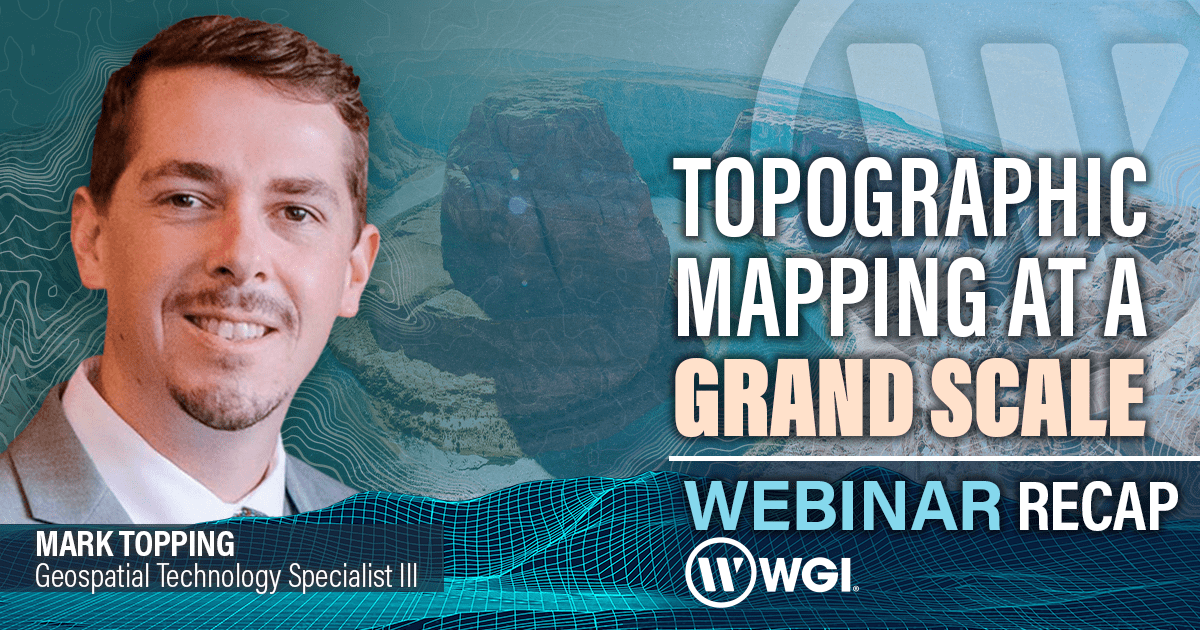
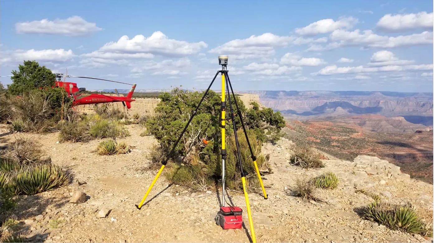
In the most recent installment of our Webinar Series, Mark Topping, WGI's Geospatial Technology Specialist III, took viewers on an enlightening journey through the intricacies of topographic mapping using lidar technology, with a special focus on a monumental project: the mapping of the Grand Canyon National Park. Elevation data is a cornerstone of informed decision-making across various sectors, from public to private and academia. While substantial progress has been made in collecting high-resolution elevation models using airborne lidar technology, the unique diversity of the United States' landscape demands even higher-resolution data for emerging applications like hydrography. WGI Geospatial, a leading provider of geospatial data acquisition and processing, showcased the value of a customized project planning approach through the lens of a challenging endeavor: mapping over 800 square miles of the iconic Grand Canyon. Throughout this webinar, attendees gained insights into the intricacies of this massive mapping project, including the specific requirements and deliverables expected for a standard federal project intended for public consumption. By delving into these challenges, Mark illuminated the critical role of comprehensive project planning in the successful execution of large-scale mapping endeavors. The webinar not only underscored the technical aspects of lidar-derived mapping but also emphasized the importance of understanding and navigating the unique complexities inherent in projects of this magnitude.
At WGI, our Mission is Simple: to empower you with the ability to choose the optimal tool for each and every project - Whether it's FWAL, TML, UAS, or traditional survey methods, we have the expertise & resources to provide you with the ideal solution to meet any need.
If you were unable to attend our live webinar or are curious about how our experts can deploy our state-of-the-art technology for your next project, check out a full video recap of the webinar session and gain a better understanding of the following:
- Advantages and limitations of airborne, topographic lidar technology
- Lidar derivatives and standards of a federal lidar project
- Critical upfront considerations for a large-scale mapping project
- Approaches for solving region-specific challenges
Are you interested in unlocking access to exclusive case studies and exploring the cutting-edge lidar technologies used while mapping the Grand Canyon, which are now shaping the future of survey and mapping activities across the nation?
Check out another FREE resource for a wealth of information on this groundbreaking project:
Contact WGI's Geospatial + Land Surveying professionals today to ensure unmatched accuracy and efficiency - We're standing by to discuss how WGI's innovative solutions can be applied to your next project to make it a GRAND one!
.png?width=185&height=175&name=WGI%20Icon_Green%20(1).png)