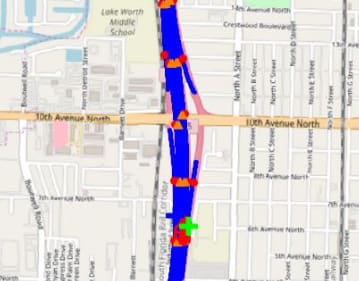
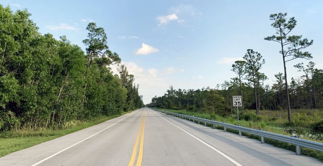
The project consists of a safety engineering project along I-95, a survey was performed to evaluate the conditions of the roadway and make the appropriate safety improvements.
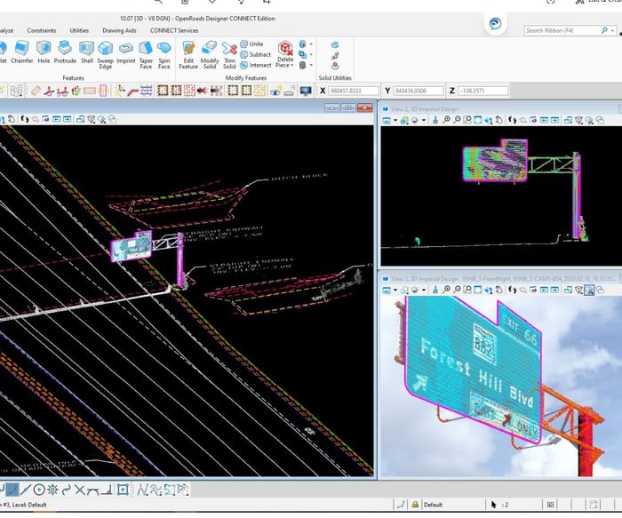
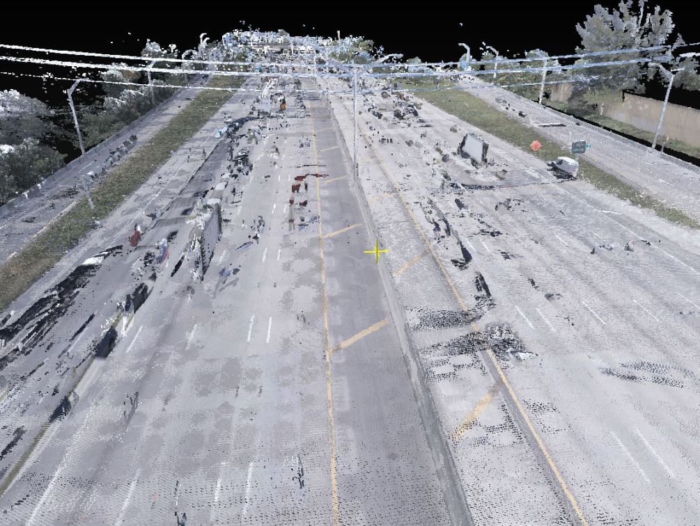
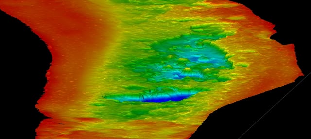
Under a continuing services contract with FDOT District 4 for survey, mapping, and SUE services, WGI provided mobile LiDAR scans of travel lanes of I-95, including drainage structures within highway pavement and soft surface areas without a concrete barrier on outside shoulder, topographical survey, digital terrain model, and a right-of-way control survey from south of 10th Avenue to north of Forest Hill Boulevard. WGI employed Mobile LiDAR technology to safely collect accurate topographic data and create a Digital Terrain Model along I-95 travel lanes and shoulder lanes for a corridor of approximately 2.2 miles. LiDAR data was used to obtain drainage structures location and elevation, through the use of cameras, WGI was able to confirm the existence of drainage pipes shown in construction plans and retreated from above surface access points. WGI used historical survey data to reconstruct the corridor Right of Way and Baseline and produced a Right of Way Control Survey.
Project Highlights:
• The use of Terrestrial Mobile LiDAR technology made it possible to safely collect accurate survey data in an extremely short period of time. Without exposing personnel to traffic, we obtained accurate survey information of drainage structures along the interior shoulder lanes and bridge clearances.
.png?width=185&height=175&name=WGI%20Icon_Green%20(1).png)