Project Details
Project at a Glance
Contact Our Team About Your Next Project.
At WGI, we creatively transform how our world is envisioned, designed, and experienced. Our expert team of professional engineers is ready to help.


WGI is a national design firm creatively transforming infrastructure and real estate through tech-driven services.
You’ve seen our award-winning team, proven expertise, and industry authority. Now let’s make your next project a success.
Our Executive Leadership Team and Practice Area Leaders bring decades of experience and client successes to your next project.
Our nationwide team of engineers, surveyors, planners, and architects offers
market-leading experience.
Our blog covers client interests like infrastructure, real estate, regulations, and smart, connected communities.
Our whitepapers highlight our design experts' innovative insights and best practices for the AEC industry.
Dedicated to your success, we invite you to subscribe to our newsletter for the latest news, case studies, and insights.
Our passionate design professionals frequently share their expertise at webinars and virtual events.
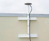
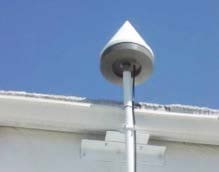
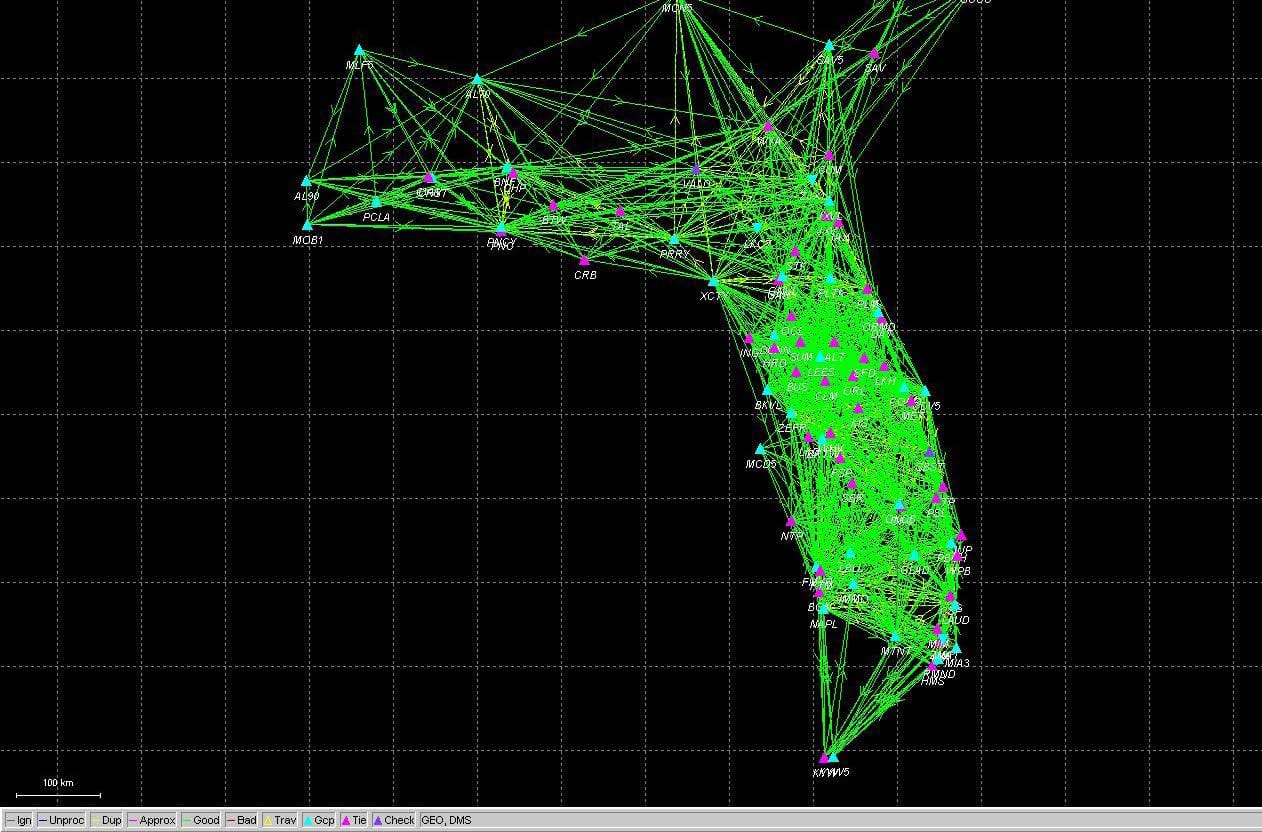
WGI was retained by Lengemann of Florida, Inc., to post process the L-NET Global Navigation Satellite System (GNSS) network within Florida. The goal was to place the network on the State Plane Coordinate System in the North American Datum of 1983, 2007 adjustment (SPCS ’83-2007). This effort provides a seamless transition between existing published National Geodetic Survey (NGS) control as well as other existing Real Time Kinematic (RTK) networks within the state. WGI was provided with the GNSS data collected over a period of one year (2007-2008). The coverage area was from Key West to Savannah, Georgia, and west to Pensacola, Florida. WGI developed a consistent network on the SPCS system that now provides a seamless transition between published NGS control as well as other existing RTK networks throughout the state. Upon completion of the network, testing was initiated against both existing NGS control and the existing RTK networks (January 26, 2009). The result of this effort has provided horizontal accuracies to less than 0.05’ and vertical accuracies to less than 0.10’. The final “constrained” network, holding a total of 41 CORS stations and seven Florida Department of Transportation stations in the final adjustment, currently meets or exceeds the Federal Geodetic Control Committee (FGCC) guidelines for “Geometric Geodetic Accuracy Standards and Specifications for using GPS Relative Positioning Techniques.”
At WGI, we creatively transform how our world is envisioned, designed, and experienced. Our expert team of professional engineers is ready to help.