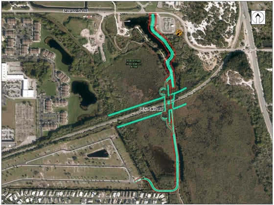
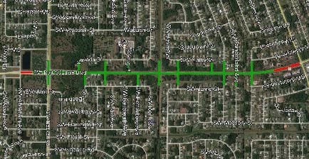
In an effort to address an increasing volume of traffic, the Florida Department of Transportation (FDOT) is reconstructing Port St. Lucie Boulevard from South Becker Road to South of Paar Drive, a project length of just over one mile. Design began in 2020, and reconstruction efforts are ongoing. Efforts include adding lanes (from a two-lane rural section to a four-lane urban curb and gutter section) and adding a shared-use path on both sides of the roadway. FDOT is also reconstructing the existing bridge over East-84 Canal. To provide increased safety in the vicinity of the Nau Campus elementary school, the addition of a signalized intersection is planned at SW Gig Place.
WGI provided a full design survey in support of aerial photogrammetry and performed a control survey, setting 62 aerial targets due to the extension of side street surveying required. While performing data collection outside the paved areas and the subsurface utility engineering (SUE) designation, field crews simultaneously located property corners to establish the right-of-way and to create the baseline of the survey.
WGI coordinated closely with the engineer and aerial consultant due to the technical deliverables and the significantly compressed schedule. WGI leveraged multiple data collection technologies, including robotic total stations, ground-penetrating radar (GPR) for conducting underground utility location and designations, vacuum excavation equipment for verification of subsurface utility locations, static global navigation satellite system (GNSS) observations (geodetic control for the project), and other surveying services for successful on-time delivery of the project.

.png?width=185&height=175&name=WGI%20Icon_Green%20(1).png)