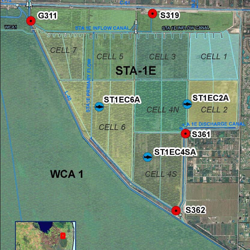
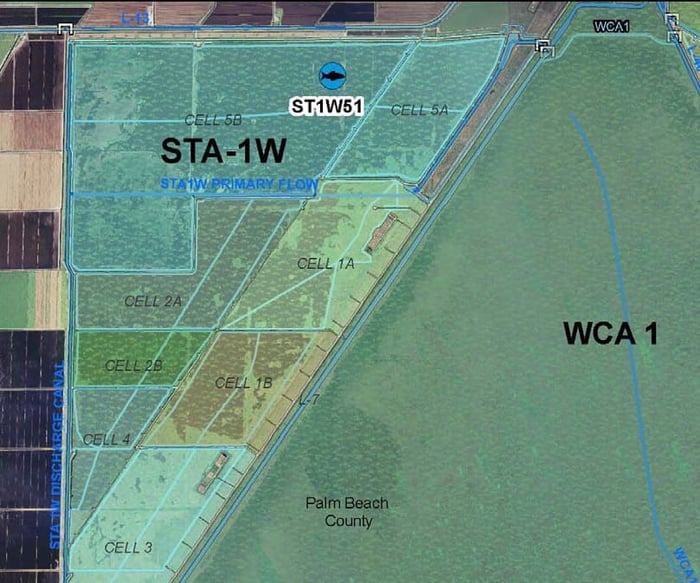
STA 1: Topographic Survey on a 1,000’ X 500’ grid for approximately 2,500 acres on the east side of the existing STA-1W in Palm Beach County. Survey included bottom elevations, rock probes, levee profiles, cross sections, and horizontal positions for all “CERP” related vertical monumentation on the site.
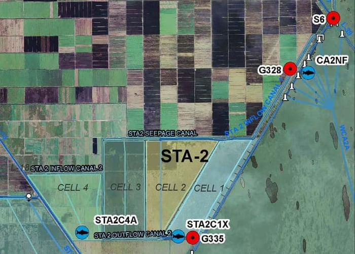
STA 2: Topographic Survey on a 1,000 X 500’ grid for approximately 7,600 acres within the Brown’s Farm Wildlife Area. Survey included bottom elevations, rock probes, levee profiles, cross sections, and horizontal positions for all “CERP” related vertical monumentation on the site.
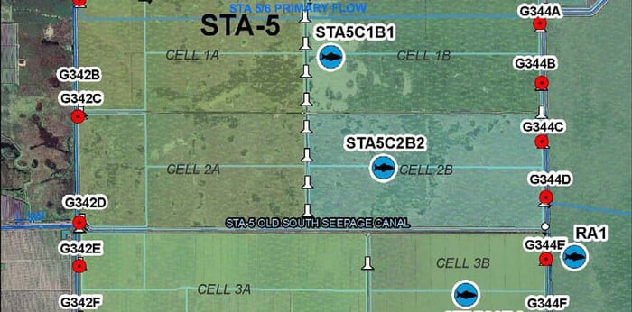
STA 5: Topographic survey on a 1,000’ X 500’ grid for approximately 6,000 acres in the southwest corner of Palm Beach County. The survey included bottom elevations, rock probes, levee profiles, cross sections, and horizontal positions for all “CERP” related vertical monumentation on the site.
.png?width=185&height=175&name=WGI%20Icon_Green%20(1).png)


















 PORT ST. LUCIE