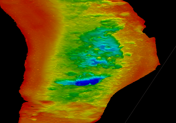
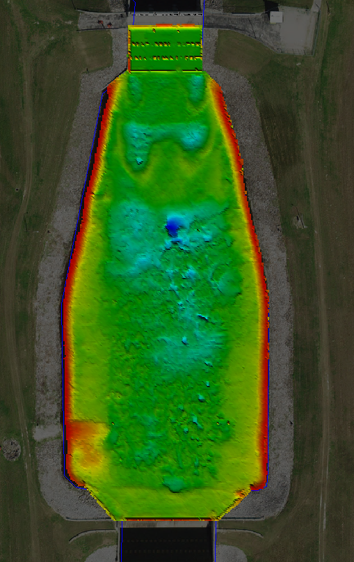
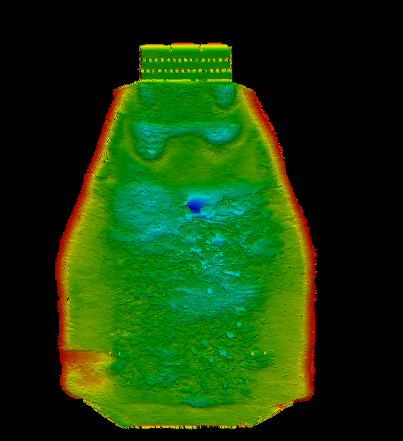
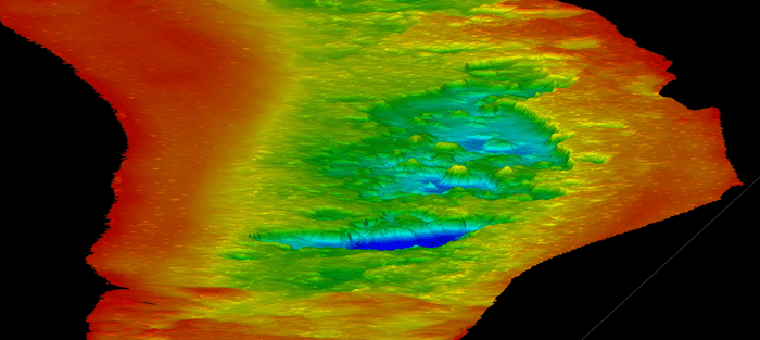
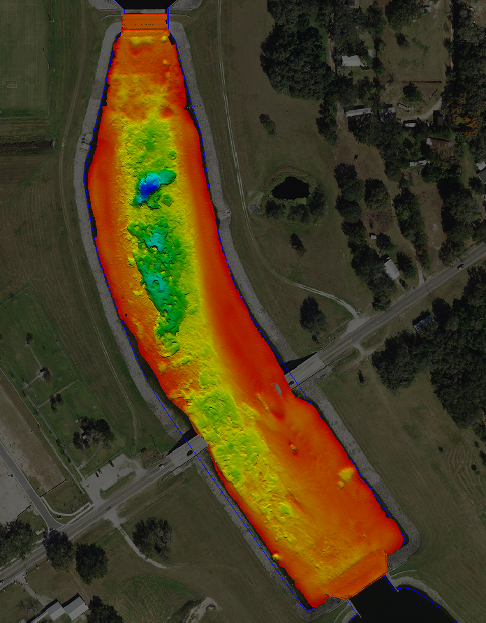
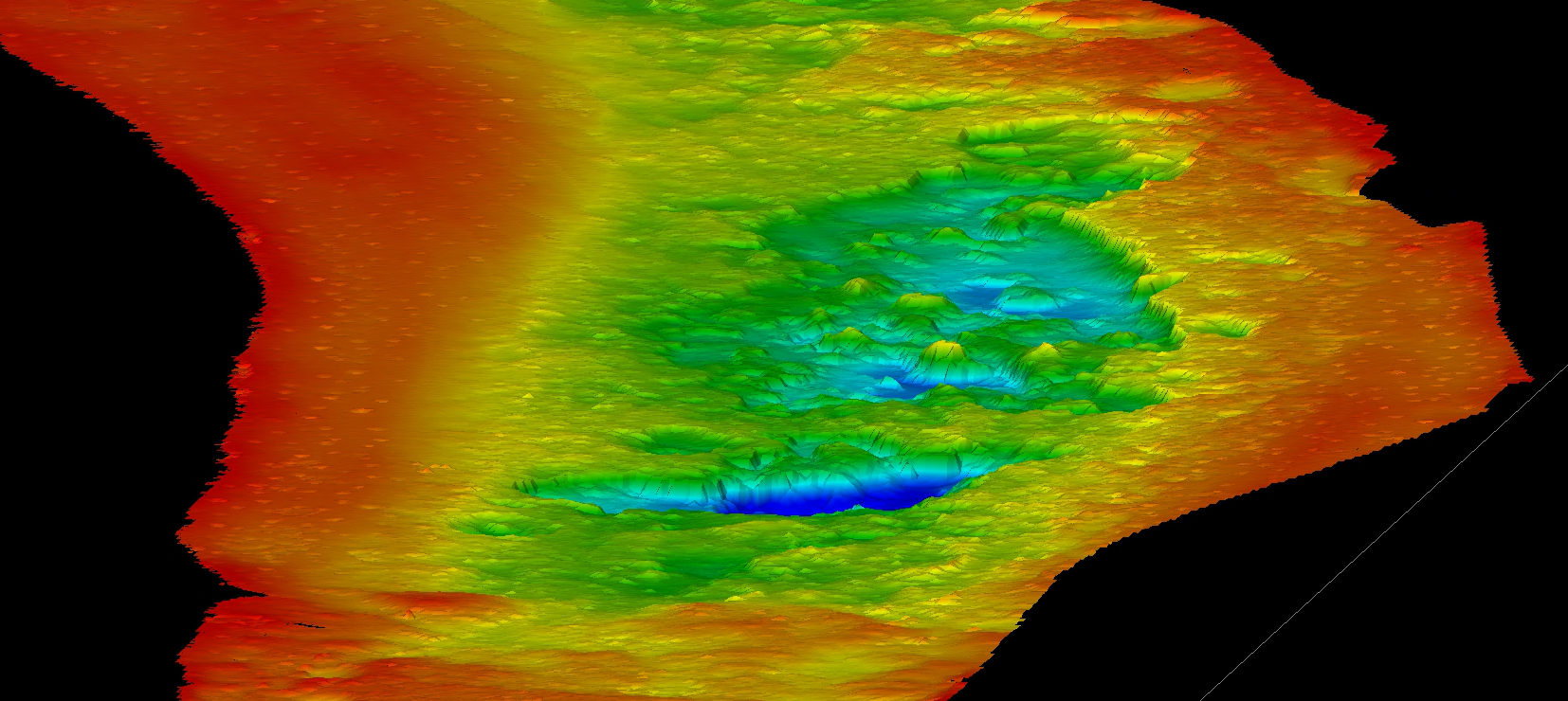
WGI was contracted to perform a hydrographic survey of approximately nine miles of the Tampa Bypass Canal to document current conditions and support ongoing management of the waterway. Using high-resolution multibeam sonar technology, WGI developed detailed surface models of the canal and captured navigational aids and other features adjacent to the channel.
Survey data were combined with historical datasets to create a change detection map, providing a clear representation of how the canal has evolved over time. WGI also prepared comprehensive deliverables documenting survey methods, equipment, accuracies, project datum, and the latest surface conditions.
Project Highlights
-
Hydrographic survey: Surveyed approximately nine miles of the Tampa Bypass Canal.
-
Multibeam sonar: Captured high-resolution bathymetric data and adjacent channel features.
-
Surface modeling: Developed detailed models documenting current canal conditions.
-
Change detection: Combined current and historical datasets to identify changes within the canal.
-
Survey deliverables: Provided survey reports, digital elevation models, change detection map, and plan-view mapping documenting methods, equipment, accuracies, and project datum.
The Tampa Bypass Canal Hydrographic Survey demonstrates WGI’s expertise in advanced hydrographic data collection and surface modeling to support accurate, informed waterway management.
.png?width=185&height=175&name=WGI%20Icon_Green%20(1).png)


















 HOLLYWOOD RESERVATION
 ILLINOIS RIVER
 TAMPA
TAMPA