WGI Icon_Green (1)
WGI Projects
Project Experience

Learn more about successful projects from some of our clients.

Plan Your Next Project!

Kick-start your next project with this quick step-by-step intake form.
About
WGI

WGI is a national design firm creatively transforming infrastructure and real estate through tech-driven services.

Our
Locations

You’ve seen our award-winning team, proven expertise, and industry authority. Now let’s make your next project a success.

Meet Our
Leadership Team

Our Executive Leadership Team and Practice Area Leaders bring decades of experience and client successes to your next project.

Our Practice Area Leadership

Our nationwide team of engineers, surveyors, planners, and architects offers
market-leading experience.

Firm Registrations

WGI holds nationwide registrations to perform engineering, surveying, architecture, and environmental science services.
WGI
Insights Blog

Our blog covers client interests like infrastructure, real estate, regulations, and smart, connected communities.

Whitepapers & Publications

Our whitepapers highlight our design experts' innovative insights and best practices for the AEC industry.

News &
Press Releases

Dedicated to your success, we invite you to subscribe to our newsletter for the latest news, case studies, and insights.

WGI
Media Room

Our passionate design professionals frequently share their expertise at webinars and virtual events.

The Groves in Big Cypress

Client:
Seminole Tribe of Florida
Market:
Water & Environment
Location:
Hendry County, Florida

Project Details

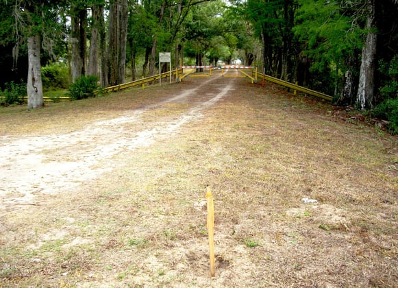
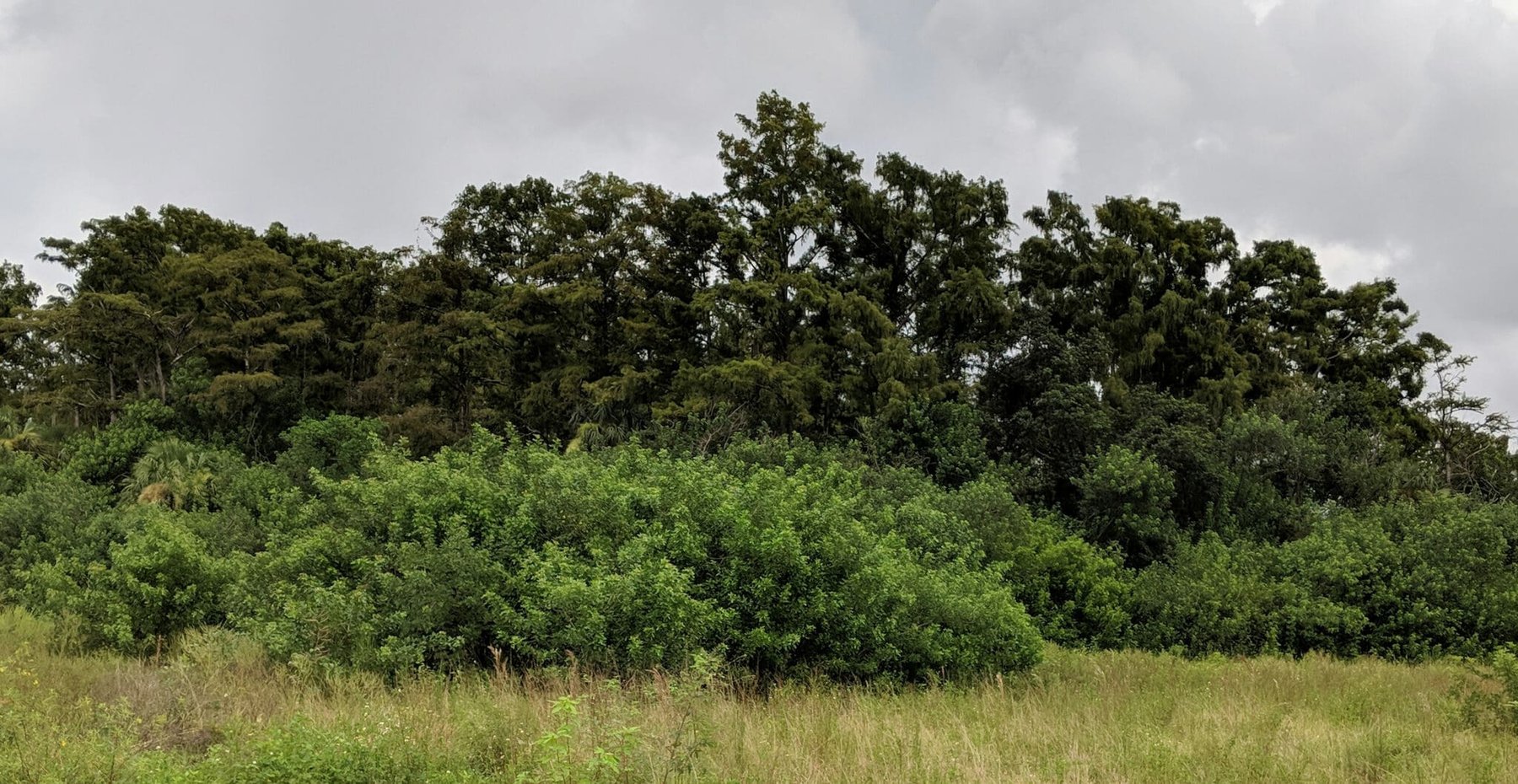
The Seminole Tribe of Florida awarded WGI a three-year contract supporting the Tribe’s Capital Improvement Plan which includes $320M of infrastructure improvements. One of WGI’s projects under the contract is to support the development of an 890-acre area of agricultural lands in Hendry County called The Groves. The area includes undisturbed cypress domes, excavated water conveyance canals and irrigation furrows, fallow citrus groves, and other low-lying areas. One of the initial steps was to perform a wetland delineation. Given the large area and the need for geospatial data, WGI first flew the area with drones equipped with mobile LiDAR. Given the large acreage of agricultural lands and the short project schedule, this was key to assessing wetlands and other natural resources on time. Then our environmental professionals conducted field verification on the ground to identify areas exhibiting wetland characteristics and connectivity. Using GPS and topological data collected by WGI biologists and professional surveyors, we delineated wetlands and non-wetland boundaries per federal and State guidelines including the USACE 1987 Wetland Delineation Manual and the USACE Atlantic and Gulf Coastal Plain Regional Supplement. We also characterized vegetation communities using the Florida Land Use, Cover and Forms Classification System.

Given past use of agrichemicals on the property, WGI also conducted a contamination assessment and developed a soil management strategy for arsenic.

Contact Our Team About Your Next Project.

At WGI, we creatively transform how our world is envisioned, designed, and experienced. Our expert team of professional engineers is ready to help.
Guided by Local Expertise