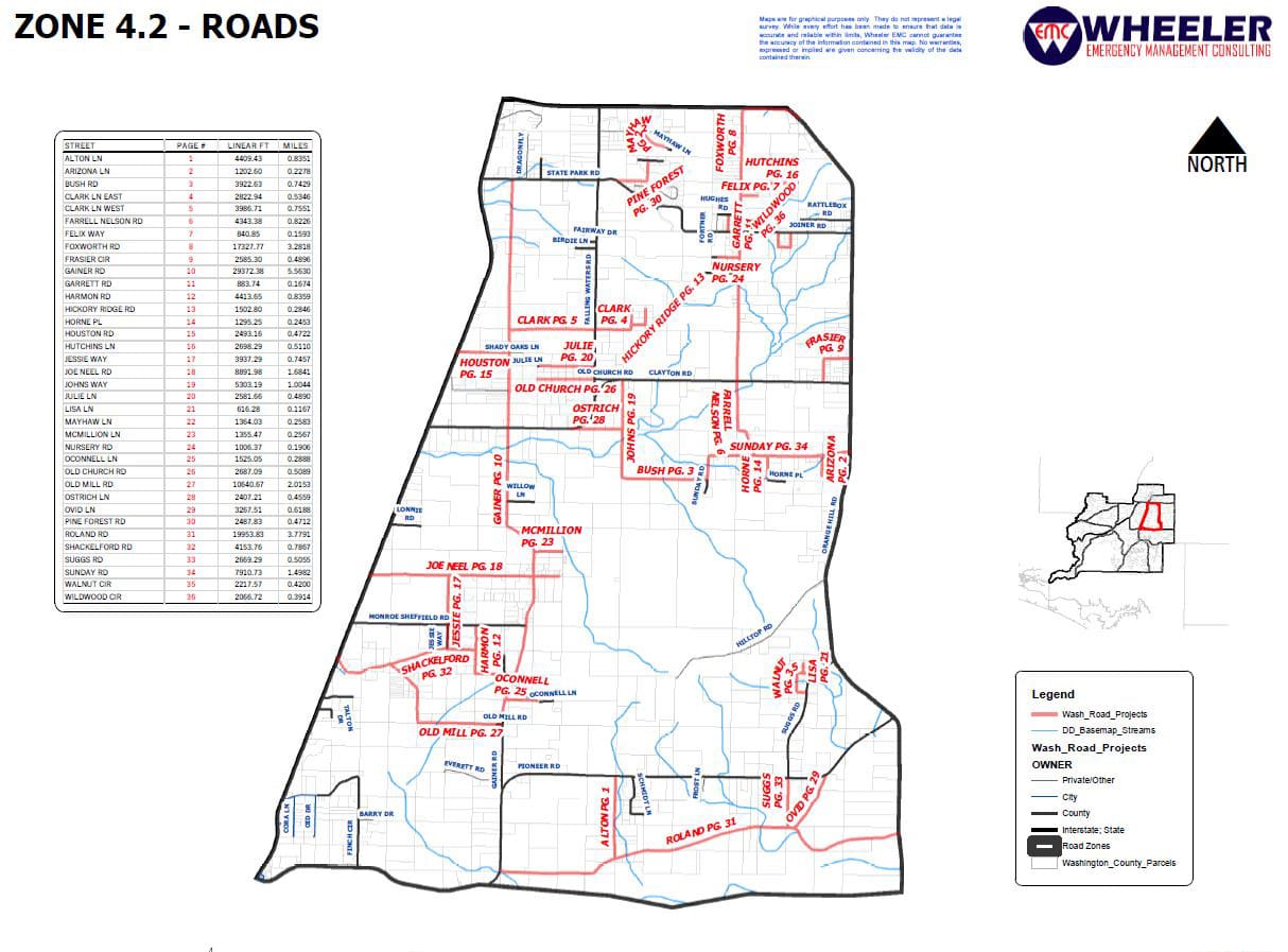
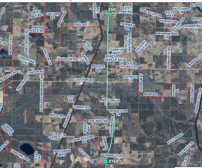
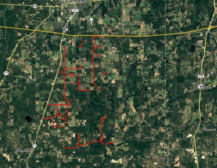
This project consists of 32.41 miles of non-paved roads throughout the entire Emergency Management Zone 4.2 of Washington County, FL. WGI completed topographic surveys for each of the 36 unpaved roads with Zone 4.2. Terrestrial Mobile LiDAR (TML) was utilized to mobile quickly in order to create Digital Terrain Models, approximate maintained right of way, and extract above-ground features of the associated roadways. Field crews were dispatched to set horizontal control, vertical control, drainage features, and wetland flags throughout the zone to assist with the TML processing. Close coordination with adjacent property owners was needed to facilitate access requirements and to determine the limits of the approximate maintained right of way. A total of 10 - 12 roads were to be completed and submitted every month. WGI met or exceeded that expectation.
Project Highlights:
• Washington County, Florida, was one of the counties largely affected by Hurricane Michael in 2018. WGI was awarded a surveying services contract that included surveying 32.41 miles of roadway for the rehabilitation of unpaved roads throughout Washington County. Because WGI was able to mobilize quickly, a second contract for additional survey services for 21.51 miles of roadway in Washington County, Florida Emergency Management Zone 3.1 was awarded.
.png?width=185&height=175&name=WGI%20Icon_Green%20(1).png)


















 JASPER