.png?width=185&height=175&name=WGI%20Icon_Green%20(1).png)


















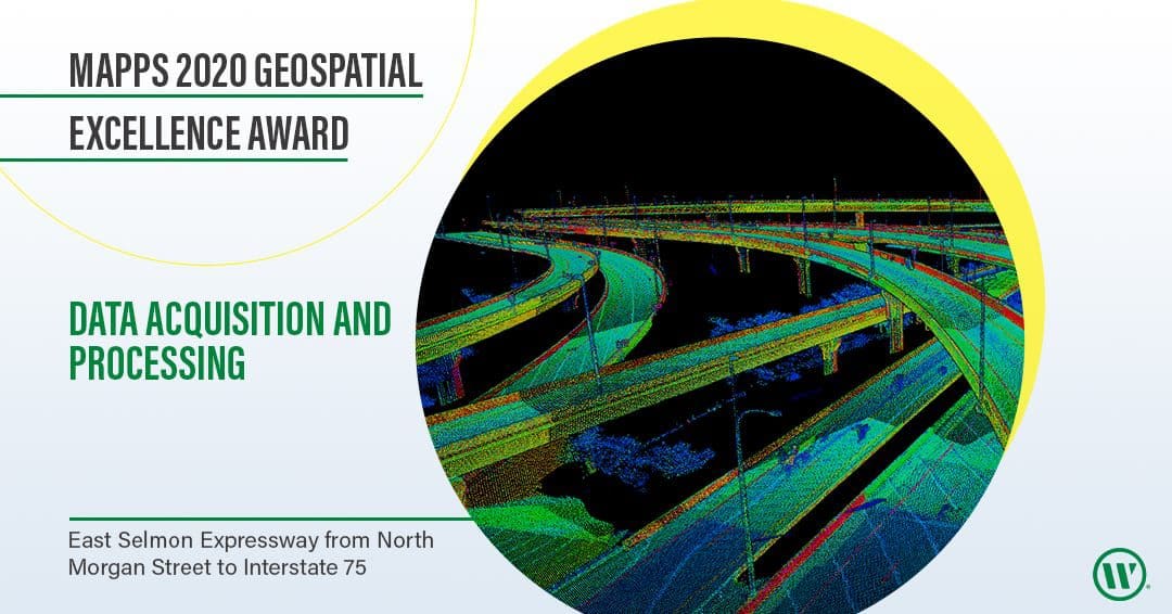
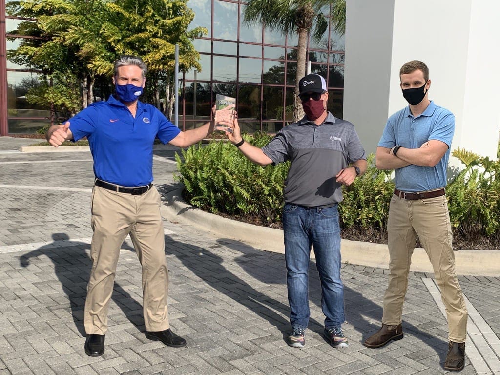
During the Management Association for Private Photogrammetric Surveyors (MAPPS) 2021 Winter Meeting, MAPPS honored WGI with its 2020 Geospatial Excellence Award in the category of Geospatial for Data Acquisition and Processing. WGI was recognized for its excellence in lidar collection and processing for the East Selmon Expressway project, from North Morgan Street to Interstate 75, in Tampa, FL.
 WGI assisted the Tampa Hillsborough Expressway Authority (THEA) with this data acquisition for the Project Development and Environmental (PD&E) Study of the East Selmon Expressway. This section of the Expressway is a highly trafficked transportation route connecting Tampa’s suburbs to its downtown. The Expressway links two of the most travelled interstates in Florida. The nine-mile roadway contains 46 bridges and 34 ramps that connect to 14 intersection roads and two interstate systems. WGI created an accurate survey control network and collected 85 miles of Terrestrial Mobile lidar (TML) data while also using two static lidar scanning systems. The adjusted and merged 3D point clouds from the scanning allowed for the precise mapping and modeling of the corridor, producing a merged 3D model and database.
 By accepting this award, WGI’s Area Manager for the project, Eric Orndorff, stated,
WGI assisted the Tampa Hillsborough Expressway Authority (THEA) with this data acquisition for the Project Development and Environmental (PD&E) Study of the East Selmon Expressway. This section of the Expressway is a highly trafficked transportation route connecting Tampa’s suburbs to its downtown. The Expressway links two of the most travelled interstates in Florida. The nine-mile roadway contains 46 bridges and 34 ramps that connect to 14 intersection roads and two interstate systems. WGI created an accurate survey control network and collected 85 miles of Terrestrial Mobile lidar (TML) data while also using two static lidar scanning systems. The adjusted and merged 3D point clouds from the scanning allowed for the precise mapping and modeling of the corridor, producing a merged 3D model and database.
 By accepting this award, WGI’s Area Manager for the project, Eric Orndorff, stated,
“WGI’s data-collection efforts and successes on the project benefit the Tampa economy, the Tampa Hillsborough Expressway Authority, and our client. Collecting timely and accurate survey-quality data with lidar benefits all of THEA’s direct and indirect stakeholders on their PD&E study. “The MAPPS Geospatial Excellence Awards showcase the outstanding projects conducted by MAPPS member firms over the past year,” stated MAPPS President Mark Brooks. “We honor all of our members for their achievements and dedication to technology advancement.”Christian Stewart, Senior Mobile lidar specialist for WGI, added,
“The combination of Terrestrial Mobile lidar and static lidar technologies allowed WGI to safely collect required data on the existing conditions of a very complex and well-travelled roadway without interruption to the travelling public. Our innovative solution resulted in an extremely accurate lidar point cloud that will be extensively used during the roadway design process. We also delivered a robust permanent survey control network for Tampa.”The Geospatial Excellence Awards are presented by MAPPS to Regular and Associate Member firms whose entries exemplify the professionalism, value, integrity, and achievement of each firm's staff as demonstrated over the previous year. A distinguished and impartial panel of judges evaluated the submitted projects from five categories: Data Acquisition & Processing, Surveying/Field Data Collection, GIS/IT/Remote Sensing Analysis, Small Projects, and Technology Innovation/Licensed Data Products. MAPPS is exclusively a private-sector organization focused on the needs of the membership by providing a forum for the mutual benefit of its members. It invites the participation of government employees, academicians, and technical papers that directly support the objectives of MAPPS members. As a business association, MAPPS is dedicated to developing the growth and improving the bottom-line profitability of its member firms within the geospatial profession. WGI offers true added-value to our clients by utilizing the latest geospatial survey tools and an award-winning team of experts with decades of experience to operate them.