.png?width=185&height=175&name=WGI%20Icon_Green%20(1).png)



















Built around the Riegl VUX-1UAV lidar Sensor mated with a very robust Novatel IMU, this system can be moved from ground-based mobile and backpack applications to aerial applications within minutes.
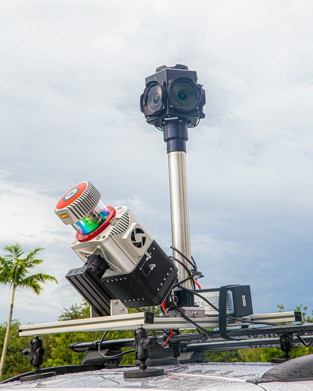 "There is no compromise with the system, we have the best lidar unit on the market in the most versatile configuration,” says UAS Program Manager, Eric Andelin. Since the implementation of the Snoopy system, WGI has collected miles of mobile lidar data followed up with UAS-based aerial acquisition, allowing our team to capture more comprehensive detailed datasets.
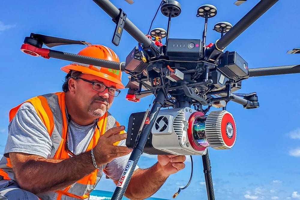 Unlike lidar from conventional aircraft, UAS-based lidar gives us point densities much closer to that of mobile lidar now that we are able to fly much lower.
 UAS-based lidar datasets can clearly delineate power lines. For example, across corridors, breaks along curbs and gutters, and other topographical features not easily identified using conventional aircraft, are easily identified with UAS-based systems. In addition, our Harris Hybrid Gas–Electric Multi-Rotor UAS, extends our acquisition range to well over an hour of flight time.
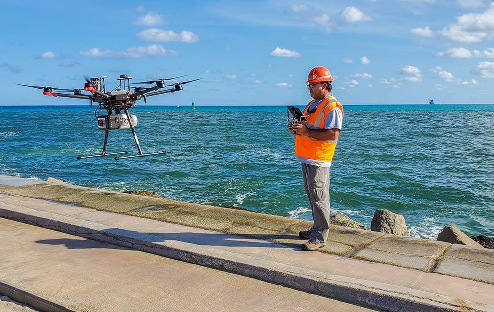 For our clients, this means WGI can capture data from the ground in a mobile or backpack configuration where FAA regulations do not allow UAS operations, or in urban environments where the view from above is obstructed. Where UAS operations are allowed, this same unit can then be mounted to the UAS and acquire lidar data covering large tracts of land. Applications would include land development, or acquisition in areas where ground access is limited such as beaches, utility corridors, and railroad right of way.
WGI’s commitment to cutting-edge technology allows us to quickly and efficiently deliver higher-quality data to our clients.
See more of the latest technology from our Geospatial experts.
[embed]https://youtu.be/zu3bu0sxGB0[/embed]
For our clients, this means WGI can capture data from the ground in a mobile or backpack configuration where FAA regulations do not allow UAS operations, or in urban environments where the view from above is obstructed. Where UAS operations are allowed, this same unit can then be mounted to the UAS and acquire lidar data covering large tracts of land. Applications would include land development, or acquisition in areas where ground access is limited such as beaches, utility corridors, and railroad right of way.
WGI’s commitment to cutting-edge technology allows us to quickly and efficiently deliver higher-quality data to our clients.
See more of the latest technology from our Geospatial experts.
[embed]https://youtu.be/zu3bu0sxGB0[/embed]
"There is no compromise with the system, we have the best lidar unit on the market in the most versatile configuration,” says UAS Program Manager, Eric Andelin. Since the implementation of the Snoopy system, WGI has collected miles of mobile lidar data followed up with UAS-based aerial acquisition, allowing our team to capture more comprehensive detailed datasets.
Unlike lidar from conventional aircraft, UAS-based lidar gives us point densities much closer to that of mobile lidar now that we are able to fly much lower.
UAS-based lidar datasets can clearly delineate power lines. For example, across corridors, breaks along curbs and gutters, and other topographical features not easily identified using conventional aircraft, are easily identified with UAS-based systems. In addition, our Harris Hybrid Gas–Electric Multi-Rotor UAS, extends our acquisition range to well over an hour of flight time.
For our clients, this means WGI can capture data from the ground in a mobile or backpack configuration where FAA regulations do not allow UAS operations, or in urban environments where the view from above is obstructed. Where UAS operations are allowed, this same unit can then be mounted to the UAS and acquire lidar data covering large tracts of land. Applications would include land development, or acquisition in areas where ground access is limited such as beaches, utility corridors, and railroad right of way.
WGI’s commitment to cutting-edge technology allows us to quickly and efficiently deliver higher-quality data to our clients.
See more of the latest technology from our Geospatial experts.
[embed]https://youtu.be/zu3bu0sxGB0[/embed]