.png?width=185&height=175&name=WGI%20Icon_Green%20(1).png)


















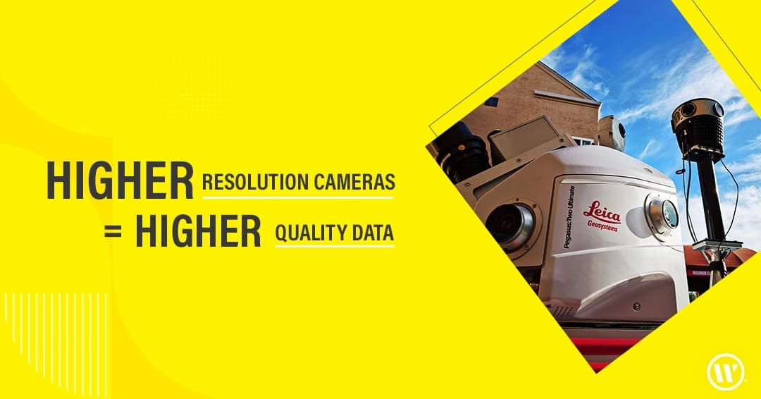
We love getting our hands on the latest technology, and we're excited to share that our Geospatial team recently acquired a Mosaic 51 - one of the best 360º camera setups on the market today. This addition to the Geospatial Team's Mobile lidar collection provides 72 MP of high-resolution imagery & allows us to offer a more robust dataset to our teams and our clients.
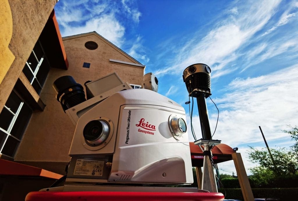 The new camera not only allows for higher-resolution imagery to be captured but also performs on-the-fly image optimization (brightness, contrast, color balance).
 We are in full production, now exporting this very high-resolution imagery for texturizing 3-D models. This camera enables the use of the imagery, with structure from motion approaches, to seamlessly augment lidar-derived point clouds to make them considerably denser when required for the extraction of objects.
This camera also enables the ability to explore the generation of 3D models utilizing imagery structure from motion to augment our lidar collection and develop a considerably denser point cloud vs the density of our current lidar-derived point clouds.
We are in full production, now exporting this very high-resolution imagery for texturizing 3-D models. This camera enables the use of the imagery, with structure from motion approaches, to seamlessly augment lidar-derived point clouds to make them considerably denser when required for the extraction of objects.
This camera also enables the ability to explore the generation of 3D models utilizing imagery structure from motion to augment our lidar collection and develop a considerably denser point cloud vs the density of our current lidar-derived point clouds.
 Higher-resolution imagery will allow our team to extract linework and points from the point cloud with finer detail than we could have achieved in the past. This will provide for a richer GIS-based data set from which AR models will be generated.
 For over four decades, WGI has been a leader in implementing the latest technology like the 72 Megapixel Spherical Mosaic Camera System in the Land Surveying space.
If you are searching for higher-quality data, collected more safely, in less time, and often at a lower cost, then contact our experts today.
For over four decades, WGI has been a leader in implementing the latest technology like the 72 Megapixel Spherical Mosaic Camera System in the Land Surveying space.
If you are searching for higher-quality data, collected more safely, in less time, and often at a lower cost, then contact our experts today.
The new camera not only allows for higher-resolution imagery to be captured but also performs on-the-fly image optimization (brightness, contrast, color balance).
 We are in full production, now exporting this very high-resolution imagery for texturizing 3-D models. This camera enables the use of the imagery, with structure from motion approaches, to seamlessly augment lidar-derived point clouds to make them considerably denser when required for the extraction of objects.
This camera also enables the ability to explore the generation of 3D models utilizing imagery structure from motion to augment our lidar collection and develop a considerably denser point cloud vs the density of our current lidar-derived point clouds.
We are in full production, now exporting this very high-resolution imagery for texturizing 3-D models. This camera enables the use of the imagery, with structure from motion approaches, to seamlessly augment lidar-derived point clouds to make them considerably denser when required for the extraction of objects.
This camera also enables the ability to explore the generation of 3D models utilizing imagery structure from motion to augment our lidar collection and develop a considerably denser point cloud vs the density of our current lidar-derived point clouds.
 Higher-resolution imagery will allow our team to extract linework and points from the point cloud with finer detail than we could have achieved in the past. This will provide for a richer GIS-based data set from which AR models will be generated.
 For over four decades, WGI has been a leader in implementing the latest technology like the 72 Megapixel Spherical Mosaic Camera System in the Land Surveying space.
If you are searching for higher-quality data, collected more safely, in less time, and often at a lower cost, then contact our experts today.
For over four decades, WGI has been a leader in implementing the latest technology like the 72 Megapixel Spherical Mosaic Camera System in the Land Surveying space.
If you are searching for higher-quality data, collected more safely, in less time, and often at a lower cost, then contact our experts today.