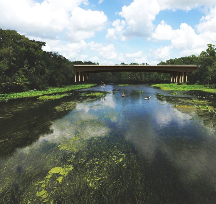
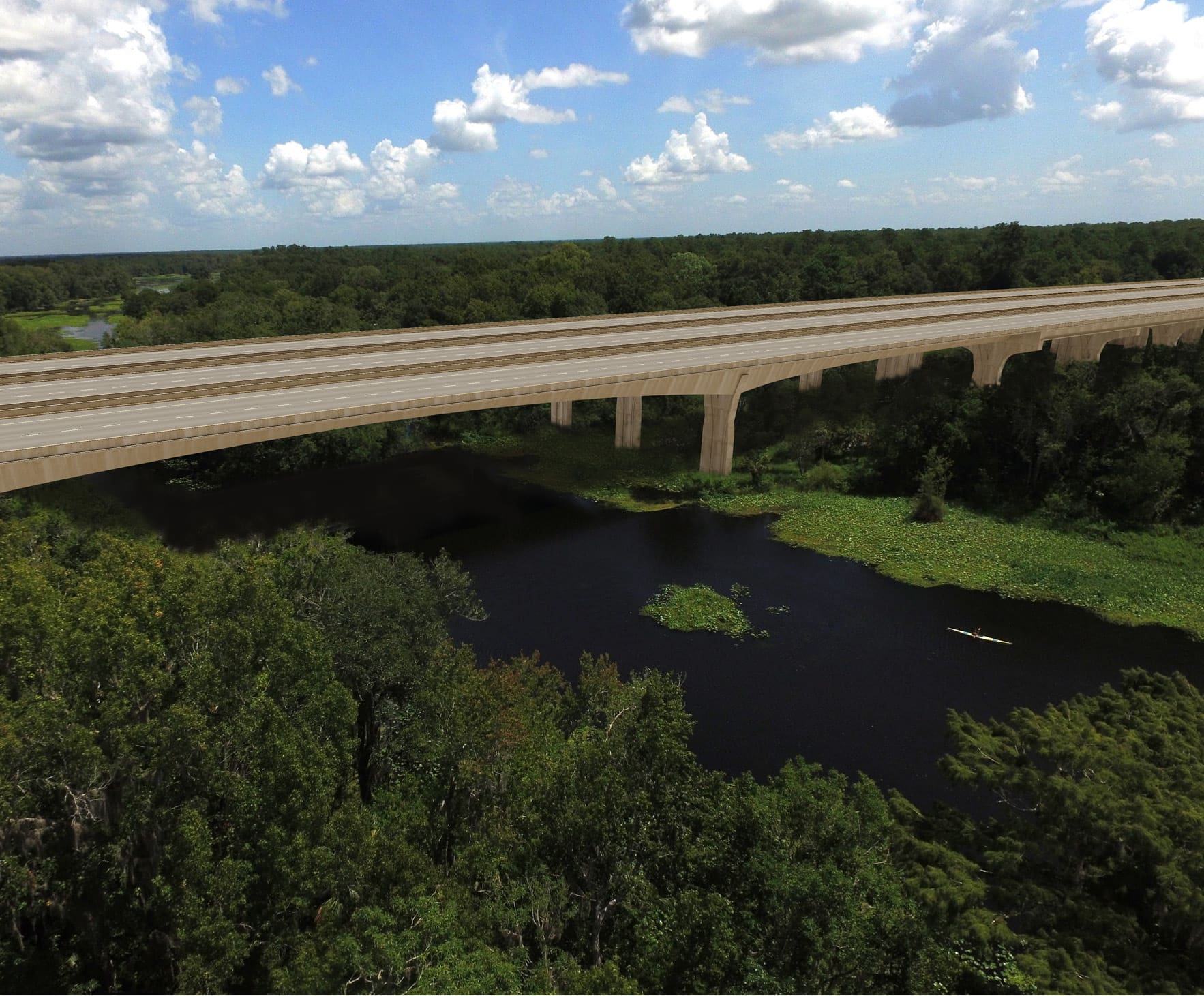
This survey task order consisted of establishing aerial targeting, GPS horizontal control, and digitally leveled vertical control for the proposed limited-access roadway through Orange, Lake, and Seminole Counties. The network control was prepared to facilitate the design and construction of 30 miles of new roadway alignment and was prepared within a six-month timeframe. The project required coordination with Wekiva State Park officials to obtain access to this environmentally sensitive land. WGI’s control effort helped to facilitate the design and construction of the new northern connector to I-4.
.png?width=185&height=175&name=WGI%20Icon_Green%20(1).png)


















 PORT ST. LUCIE
%20copy%203.png?width=640&height=420&name=MicrosoftTeams-image%20(2)%20copy%203.png)
