WGI Icon_Green (1)
WGI Projects
Project Experience

Learn more about successful projects from some of our clients.

Plan Your Next Project!

Kick-start your next project with this quick step-by-step intake form.
About
WGI

WGI is a national design firm creatively transforming infrastructure and real estate through tech-driven services.

Our
Locations

You’ve seen our award-winning team, proven expertise, and industry authority. Now let’s make your next project a success.

Meet Our
Leadership Team

Our Executive Leadership Team and Practice Area Leaders bring decades of experience and client successes to your next project.

Our Practice Area Leadership

Our nationwide team of engineers, surveyors, planners, and architects offers
market-leading experience.

Firm Registrations

WGI holds nationwide registrations to perform engineering, surveying, architecture, and environmental science services.
WGI
Insights Blog

Our blog covers client interests like infrastructure, real estate, regulations, and smart, connected communities.

Whitepapers & Publications

Our whitepapers highlight our design experts' innovative insights and best practices for the AEC industry.

News &
Press Releases

Dedicated to your success, we invite you to subscribe to our newsletter for the latest news, case studies, and insights.

WGI
Media Room

Our passionate design professionals frequently share their expertise at webinars and virtual events.

WGI SERVICES

GIS Services

Turn accurate geospatial data into accessible intelligence that reveals existing conditions and guides informed decisions.

OCI_transition_slower
Certified Professional Excellence in 50 States.

Geospatial Intelligence That Delivers Lasting Value

Spatial Analysis & Mapping

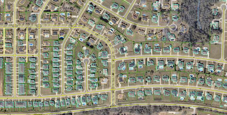
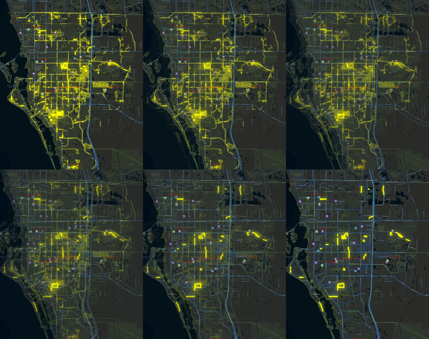
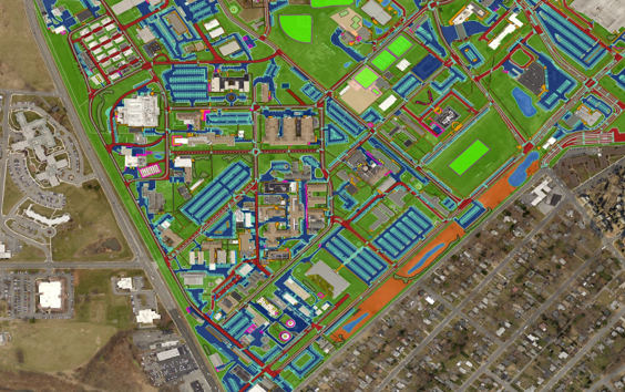
Geographic Information Systems bring disconnected datasets into one location-based system, uncovering relationships that are difficult to see otherwise. WGI creates scalable resources teams can continually update, analyze, and use across departments.

Powering Smarter Analysis

The Next Generation of GIS Services

Automated workflows make it possible to organize and interpret geospatial data more efficiently. Combined with AI and machine learning, these capabilities give teams a dynamic resource that remains relevant as conditions change.

Connected Asset Intelligence

Link each asset’s location with operational data to provide a clearer view of its condition and performance.

Scalable GIS Architecture

Build scalable GIS solutions that accommodate expanding datasets, new applications, and evolving organizational needs.

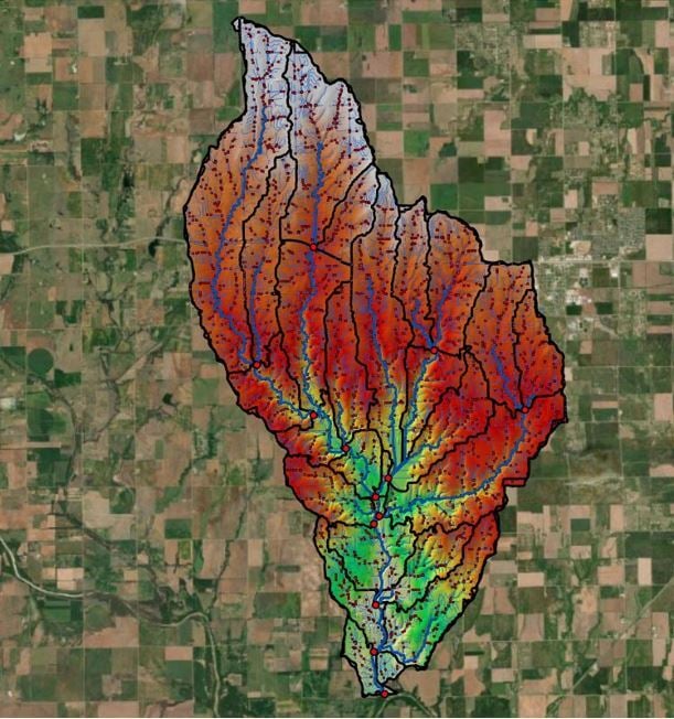
Hydrology

Extending Geographic Information Systems Across Your Organization

Planning, Engineering, Operations, and Finance teams often maintain different information about the same assets. GIS unites these records geographically, creating a shared view for coordinating priorities and allocating resources.

  • Compare inspection findings and maintenance history to identify priority assets.
  • Align condition ratings with planned projects to avoid duplicated work.
  • Connect asset performance and lifecycle costs to guide capital planning.
Start Your Project with a Reliable Geospatial Foundation

Connect with WGI for GIS services that give your team accurate spatial insight for informed decisions throughout the project lifecycle.

Related Services

Survey waterways and submerged features to provide accurate data for planning and maintaining water-based infrastructure.

Reveal surface conditions, environmental patterns, and changes over time through advanced remote sensing and LiDAR data.
Capture high-resolution aerial data quickly and safely to document site conditions and keep projects on schedule.
Identify and map underground utilities before design and construction to reduce conflicts, delays, and costly rework.
Geospatial and land surveying technologies provide the insight needed to inventory, plan, design, and manage assets with confidence.
Related Markets
  • Utilities

    Greater visibility across utility networks allows teams to evaluate conditions and plan for long-term system needs.

    Learn More

  • Transportation

    Geographic information systems provide important context for assessing network performance and infrastructure priorities.

    Learn More

  • Water + Environment

    Connected environmental and infrastructure data informs resource planning, risk evaluation, and system resilience.

    Learn More

  • Environmental Consulting

    Environmental requirements can quickly affect schedules and permitting. Early coordination reduces delays and supports predictability.

    Learn More

  • Geospatial & Land Surveying

    A reliable spatial foundation keeps data center decisions aligned from site evaluation through construction.

    Learn More

Contact Our Team About Your Next Project.

At WGI, we creatively transform how our world is envisioned, designed, and experienced.

Guided by Expertise
Stephen Clancy_500x500

Stephen Clancy, PSM, PLS, GISP

VP, Geospatial Division Leader