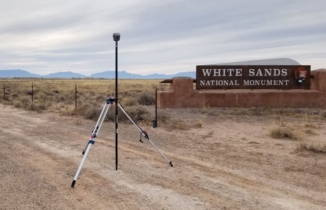
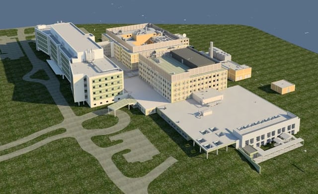
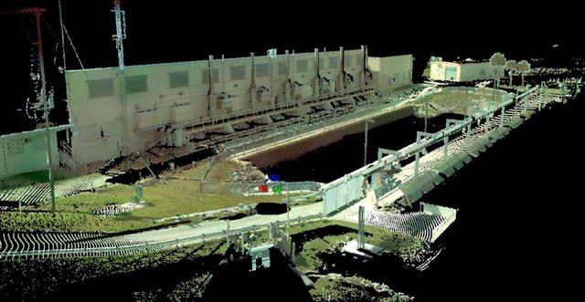
Grand Canyon National Park Surveying & Field Data Collection
- Location
- Arizona
- Market
- Parks


WGI is a national design firm creatively transforming infrastructure and real estate through tech-driven services.
You’ve seen our award-winning team, proven expertise, and industry authority. Now let’s make your next project a success.
Our Executive Leadership Team and Practice Area Leaders bring decades of experience and client successes to your next project.
Our nationwide team of engineers, surveyors, planners, and architects offers
market-leading experience.
Our blog covers client interests like infrastructure, real estate, regulations, and smart, connected communities.
Our whitepapers highlight our design experts' innovative insights and best practices for the AEC industry.
Dedicated to your success, we invite you to subscribe to our newsletter for the latest news, case studies, and insights.
Our passionate design professionals frequently share their expertise at webinars and virtual events.
Growing communities depend on transportation infrastructure engineered to improve mobility and system performance.
Remote sensing and LiDAR data offer a usable intelligence layer for infrastructure planning, asset management, and environmental analysis. Through modeling and multidisciplinary expertise, WGI turns collected data into insights that inform smarter project decisions.
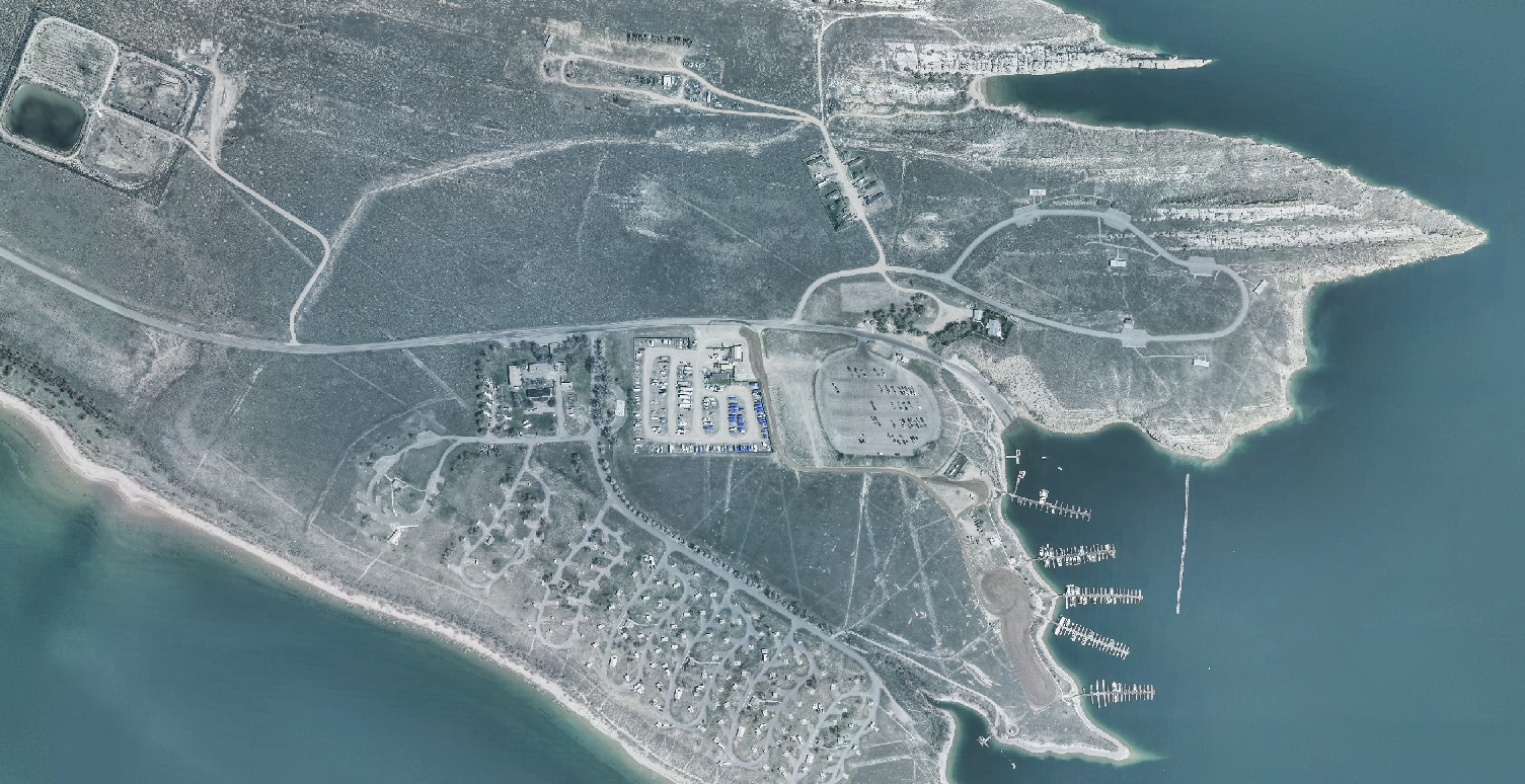
Aerial data collection reduces time spent evaluating large, complex, or difficult-to-access project areas.
Remote sensing brings land cover, floodplain, and watershed conditions into sharper view for project teams.
Geospatial data collection, land surveying, GIS services, and advanced mapping technologies provide the insight needed to inventory, plan, design, and manage assets with confidence.
Below-ground utility data helps reduce uncertainty, promoting informed and strategic infrastructure decisions.
Waterways, shorelines, and submerged assets require specialized surveying to improve resiliency and long-term planning.
High-density geospatial data reveals existing conditions with a level of speed, scale, and detail that traditional methods cannot match.
Remote sensing data reveals floodplain, watershed, wetland, and land cover context across complex environments.
LiDAR and aerial mapping provide corridor intelligence for planning, design, asset management, and project delivery.
Utility teams use geospatial mapping to evaluate asset locations, corridor conditions, and infrastructure needs.
Before energy infrastructure advances, aerial and LiDAR data clarify terrain, access, and transmission routes.
Industry-leading sensors capture massive volumes of imagery and LiDAR data. WGI processes, classifies, and integrates those datasets into GIS-ready models that make complex conditions easier to analyze.
Automated workflows accelerate feature extraction, classification, and large-scale geospatial analysis.
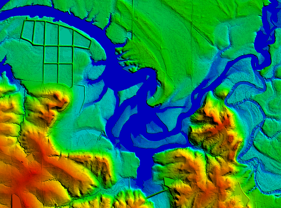
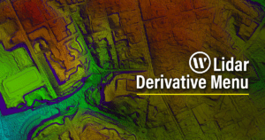
LiDAR-derived digital terrain models reveal contours, elevations, and surface conditions across project sites.
Parks · Huntsville
At WGI, we creatively transform how our world is envisioned, designed, and experienced. Our expert team of experts are just a form submission away.
Client Solutions Manager, Geospatial