Eric Matthews, PSM
Senior Operations Manager


WGI is a national design firm creatively transforming infrastructure and real estate through tech-driven services.
You’ve seen our award-winning team, proven expertise, and industry authority. Now let’s make your next project a success.
Our Executive Leadership Team and Practice Area Leaders bring decades of experience and client successes to your next project.
Our nationwide team of engineers, surveyors, planners, and architects offers
market-leading experience.
Our blog covers client interests like infrastructure, real estate, regulations, and smart, connected communities.
Our whitepapers highlight our design experts' innovative insights and best practices for the AEC industry.
Dedicated to your success, we invite you to subscribe to our newsletter for the latest news, case studies, and insights.
Our passionate design professionals frequently share their expertise at webinars and virtual events.
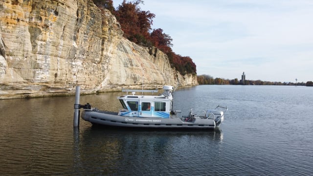
Capture precise underwater data to understand submerged conditions and guide marine, coastal, and waterway projects.
Bathymetric & Marine Geophysical Surveys
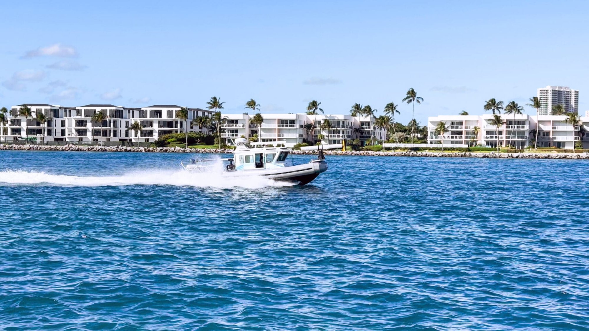
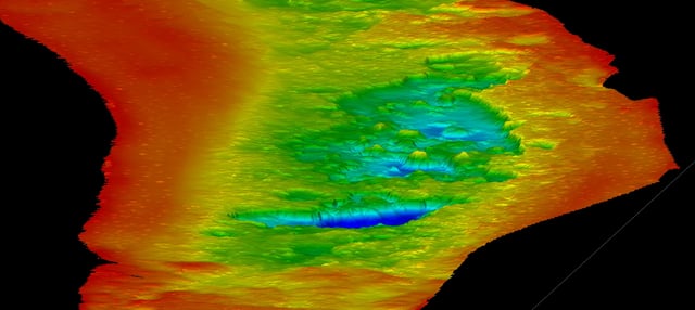
WGI combines specialized hydrographic surveying expertise with industry-leading technology to document submerged terrain and infrastructure, provide dense and accurate digital terrain models, and identify seafloor materials and conditions, giving project teams accurate data for planning, design, construction, and maintenance.
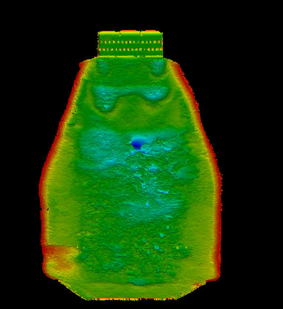
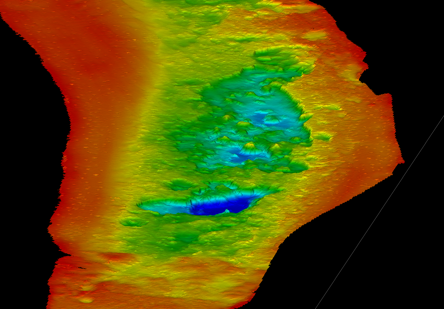
Hydrographic survey technology uses a variety of different sonar systems combined with precise positioning to document underwater environments with detailed spatial accuracy. These technologies allow WGI to map submerged conditions and translate complex measurements into usable project data.
Produce detailed imagery of subaquatic features and bottom type classification to clarify underwater conditions that cannot be visually inspected.
Compare underwater surface conditions to accurately calculate material volumes throughout the project life cycle.
Scour and sediment deposition can gradually alter the terrain that supports marine and waterway infrastructure. Repeat hydrographic surveys document these changes, allowing teams to evaluate structural concerns and determine appropriate maintenance actions.
Work with WGI to uncover hidden site conditions and make informed decisions throughout the project lifecycle.
Integrate underwater survey data into GIS platforms for accessible mapping, analysis, and long-term management.
Changing shorelines require dependable below-surface data to guide resilient marine infrastructure decisions.
Hydrographic surveying tracks underwater change to inform responsible management of water resources and habitats.
Hydrographic data identifies erosion within stormwater channels before it begins to compromise system performance.
Subquatic mapping provides the site context needed to coordinate utility improvements within active waterways.
Why Modern Hydrographic Surveys Require Multi-Sensor Integration
At WGI, we creatively transform how our world is envisioned, designed, and experienced.
Senior Operations Manager