Precise Geospatial Data Collection Across Every Site
UAS Services, Photogrammetry & LiDAR Scanning
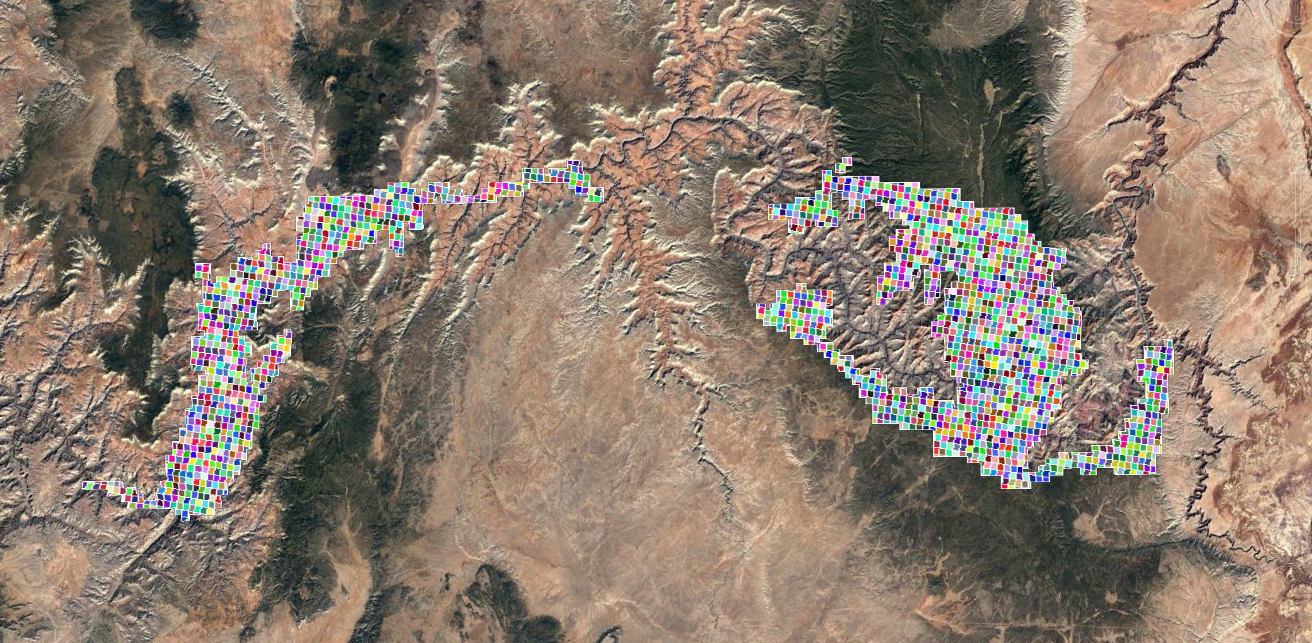
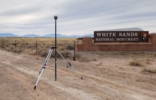
Across expansive and hard-to-reach sites, WGI uses UAS surveys and LiDAR technology to document existing conditions with precision. Accurate geospatial data gives teams the information needed to plan and design around real site conditions.
Specialized Geospatial Tools
Industry-Leading Technology for High-Resolution Mapping
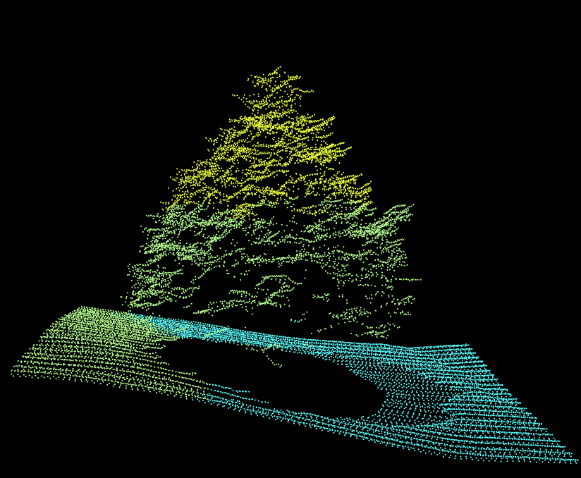
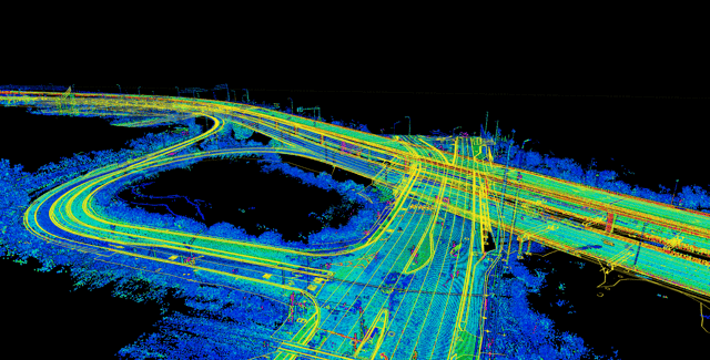
LiDAR pulses measure surface elevations with exceptional density, while photogrammetry reconstructs three-dimensional conditions from overlapping imagery. WGI processes the collected data into measurable point clouds, terrain models, and georeferenced imagery.
Data-Driven Project Decisions
Convert aerial data into accessible digital information that strengthens analysis and informs decisions across project phases.
Scalable Digital Information
Build geospatial datasets that can expand alongside evolving project requirements and organizational priorities.
Track Progress and Respond to Changing Site Conditions
By documenting a site at key intervals, UAS and LiDAR surveys reveal construction progress and changes following storms or site activity. Teams can measure results against design and respond where needed.
Evaluate access and staging conditions before crews or equipment are mobilized.
Use current site models to sequence upcoming work around active constraints.
Provide contractors with recent site information for more informed decision-making.
Strengthen Project Planning with UAS and LiDAR
Gain precise geospatial data and measurable digital models that give your team a clearer basis for planning and design.
At WGI, we creatively transform how our world is envisioned, designed, and experienced. Our expert team of professional engineers are just a form submission away.

.png?width=185&height=175&name=WGI%20Icon_Green%20(1).png)