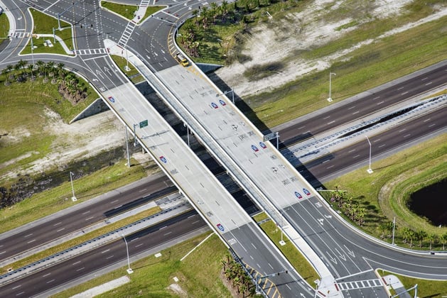
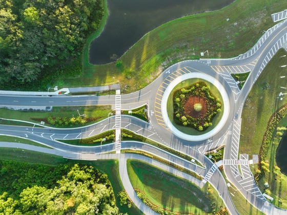
Every corridor carries constraints that surface long before construction. WGI brings right-of-way limits, utility conflicts, drainage, and traffic impacts into the design early, so the plans that reach the field reflect what is actually there.
Constructability First
Design decisions get tested against real field conditions, so plans reach construction with fewer unknowns.
One Integrated Team
Roadway, drainage, utility, and structural work runs off the same information on the same schedule.
Model-Based Design From Concept Through Construction
Agencies are moving from 2D plan sets toward 3D engineered models as the contract deliverable. WGI designs in that environment, pairing survey and reality capture data with models construction crews can use directly.
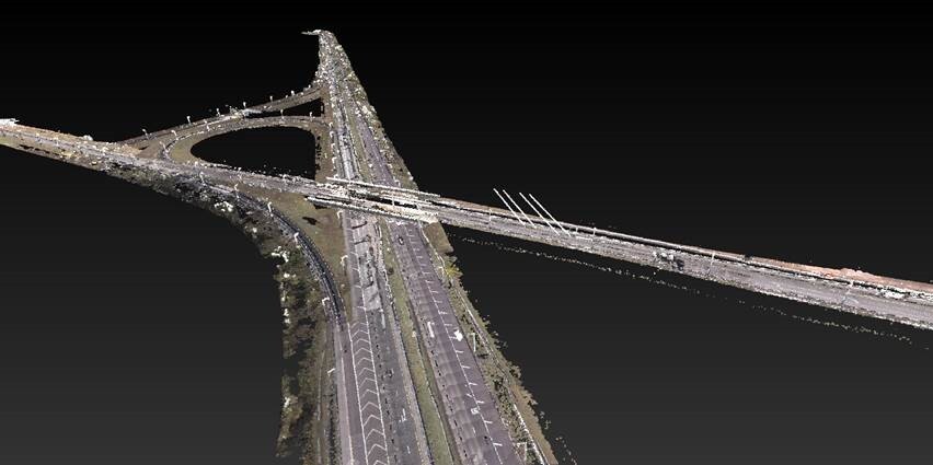
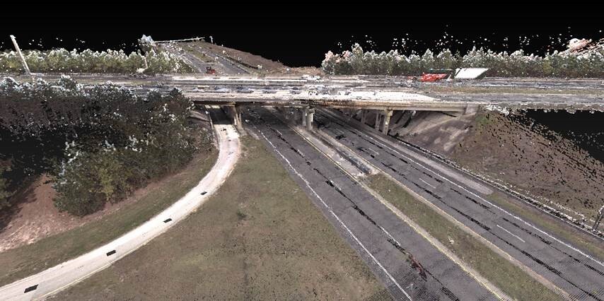
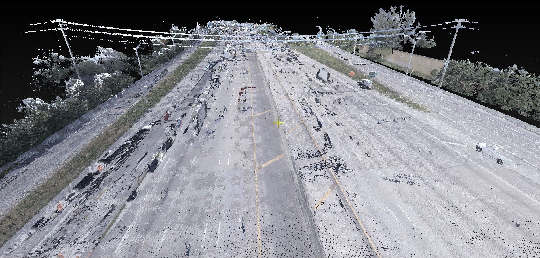
Reality Capture
LiDAR, UAS, and field survey document existing conditions at the accuracy alignment and drainage work requires.
Conflict Detection
Modeled utilities, drainage, and structures surface clashes during design instead of during construction.
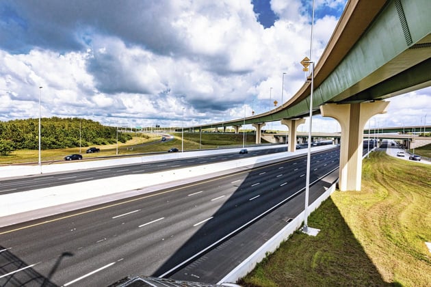
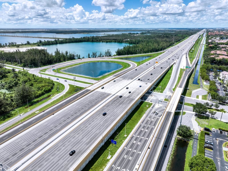
The project consisted of the completion of final design plans and construction specifications for the widening of the Homestead Extension of the Florida’s Turnp…
Location
Miami-Dade County, FL
Asset Class
Transportation
View project
Contact Our Team About Your Next Project
At WGI, we creatively transform how our world is envisioned, designed, and experienced.


.png?length=2700&name=03194528_00_N5%20(2).png&hsLang=en)
.png?width=185&height=175&name=WGI%20Icon_Green%20(1).png)


















.jpg?width=1441&height=1080&name=2.3.7%20Transportation%20Planning%20(12).jpg)