.png?width=185&height=175&name=WGI%20Icon_Green%20(1).png)


















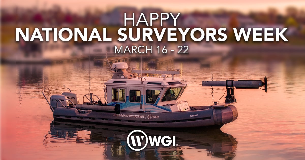
Since 1984, the National Society of Professional Surveyors (NSPS) has designated a week each year as National Surveyors Week (NSW), recognizing the vital contributions of geospatial professionals across the country.

In 2025, NSW will take place from March 16th – March 22nd, providing an opportunity to honor the expertise and dedication of those who shape our built environment. At WGI, we take pride in celebrating our Geospatial and Land Surveying team, whose precision and continued innovation form the foundation of success in everything we do.
The Foundation of Every Project
Surveyors play an essential role as the first professionals on-site, mapping the boundaries of roadways, bridges, structures, and even underwater infrastructure.
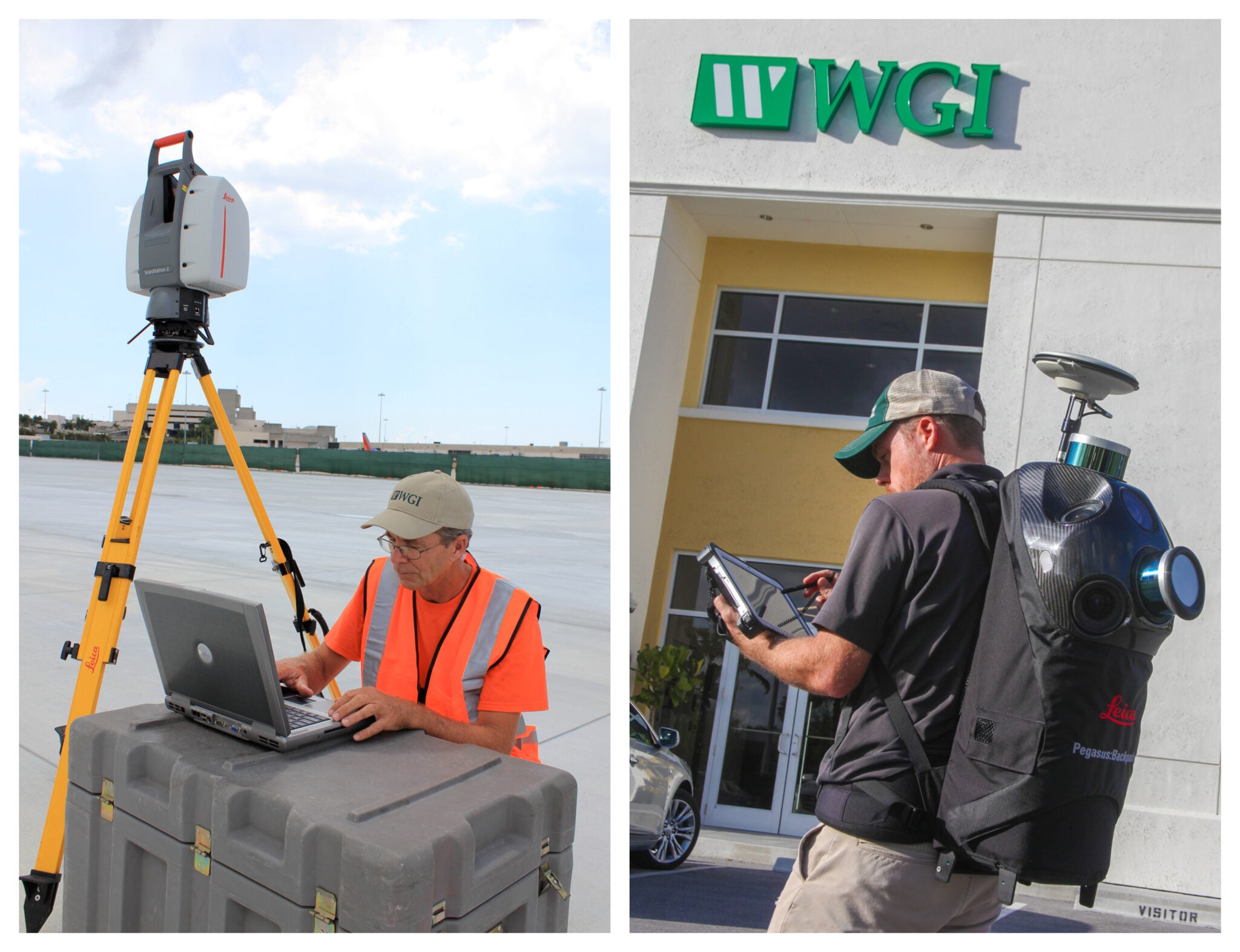
Their work is critical in ensuring projects begin with accurate, reliable data, and at WGI, our geospatial experts leverage advanced technologies and innovative data collection methods to provide clients with the highest-quality insights, setting the stage for smooth project execution.
Innovative Technologies and Expertise
Innovation in geospatial and land surveying continues to evolve each and every day, with new technologies enhancing data accuracy, efficiency, and applications – Just a few trends shaping the industry thus far in 2025 are:
-
AI-Driven Geospatial Analysis: Artificial Intelligence (AI) and machine learning are revolutionizing GIS by automating complex analyses and uncovering patterns in large datasets. For example, AI-powered tools can analyze satellite imagery to detect urban sprawl, predict wildfire risks, or monitor illegal deforestation. Governments and NGOs are leveraging these capabilities to enhance disaster response and conservation efforts. In urban planning, predictive modeling helps cities optimize resource allocation and infrastructure development.
-
Integration of IoT with GIS: The Internet of Things (IoT) is generating a wealth of real-time location-based data, which GIS technology can harness for actionable insights. For instance, smart city initiatives use IoT sensors combined with GIS to manage traffic flow, monitor air quality, and track utility usage. In logistics, IoT-enabled fleet tracking with GIS mapping ensures efficient delivery routes and real-time updates on shipment locations.
-
Advancements in 3D GIS and Digital Twins: 3D GIS technology is gaining traction, with applications ranging from urban development to environmental monitoring. Digital twins, virtual models of physical entities, are becoming indispensable for industries such as construction and manufacturing. For example, a digital twin of a city created using 3D GIS can simulate traffic patterns, evaluate energy consumption, and test disaster resilience scenarios, providing invaluable insights for planners and policymakers alike.
WGI's Geospatial and Land Surveying team is equipped with state-of-the-art tools, including lidar-equipped aerial drones and mobile lidar systems attached to vehicles, individuals, or fixed-wing aircraft.

These technologies allow us to collect precise, high-resolution data efficiently, helping clients make informed decisions while optimizing costs and timelines.
Engaging with the Future Generation
National Surveyors Week is also about fostering awareness and inspiring future land surveyors and geospatial professionals.

WGI actively participates in outreach initiatives such as Construction Career Days and educational exhibitions featuring Unmanned Aerial Systems (UAS) demonstrations. By engaging with students and young professionals, we help cultivate the next generation of industry leaders and problem solvers who will continue to push the boundaries of what's possible in geospatial innovation.
Historical Significance
Surveying is a profession with deep historical roots, dating back to ancient civilizations and playing a pivotal role in the expansion of the United States – And did you know that many of our nation's early leaders, including George Washington, Abraham Lincoln, and Thomas Jefferson, were actually surveyors?

At WGI, we recognize the enduring impact of this profession and its continued importance in shaping communities today.
A Heartfelt Appreciation
As we celebrate National Surveyors Week, WGI extends its heartfelt appreciation to all surveying and geospatial professionals. Your dedication to delivering high-quality, precise data – safely, efficiently, and cost-effectively – drives the success of projects across the nation.
We stand alongside NSPS in recognizing the invaluable role of surveyors and geospatial experts in building the future! For those seeking top-tier geospatial expertise, we invite you to contact our Geospatial Experts at WGI for service that exceeds even the highest of expectations.