.png?width=185&height=175&name=WGI%20Icon_Green%20(1).png)


















Since 1984, the National Society of Professional Surveyors has designated a week each March to recognize the essential contributions of geospatial professionals. National Surveyors Week 2026 provides an opportunity to highlight the expertise, innovation, and dedication of the professionals who lay the groundwork for the built environment.
At WGI, we proudly celebrate our Geospatial and Land Surveying team, whose work provides the accurate data and insights needed to plan, design, and deliver successful infrastructure and development projects across the country.
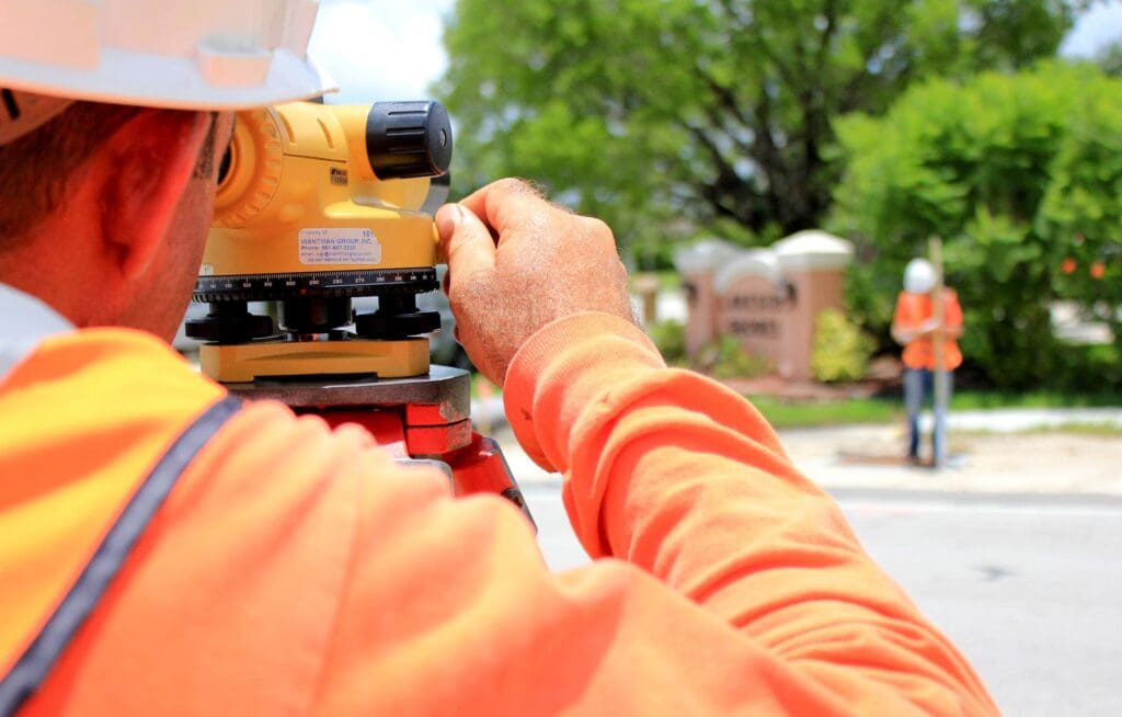 At WGI, our geospatial specialists combine decades of experience with advanced data-collection technologies to deliver highly accurate and meaningful datasets. This information enables our multidisciplinary teams, and our clients, to make informed decisions that improve efficiency, reduce risk, and support successful project outcomes.
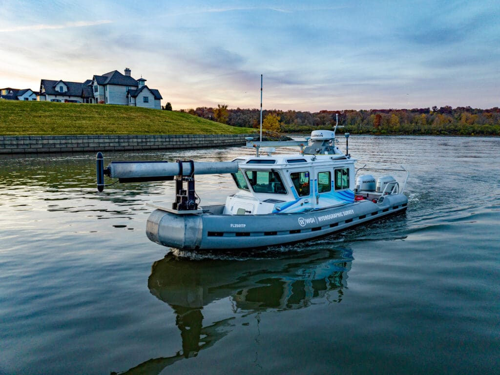 By integrating LiDAR, sonar detection technologies, modeling platforms, and visualization tools, WGI’s geospatial experts can gather high-quality data quickly, safely, and efficiently. These capabilities allow project teams to develop sophisticated models that are critical to planning and designing modern infrastructure.
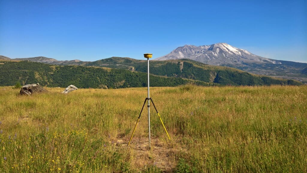 From transportation infrastructure and land development to coastal and marine environments, surveyors provide the critical data that allows projects to begin with clarity and confidence. Their commitment to precision, safety, and innovation ensures that complex projects start with the reliable information necessary for success.
At WGI, we are proud to recognize the exceptional work of our Geospatial and Land Surveying team during National Surveyors Week and throughout the year.
From transportation infrastructure and land development to coastal and marine environments, surveyors provide the critical data that allows projects to begin with clarity and confidence. Their commitment to precision, safety, and innovation ensures that complex projects start with the reliable information necessary for success.
At WGI, we are proud to recognize the exceptional work of our Geospatial and Land Surveying team during National Surveyors Week and throughout the year.
The Foundation of Every Project
Long before construction begins, surveyors are already at work. Geospatial professionals are often the first experts on-site, gathering the precise measurements and environmental data that define a project’s boundaries and establish its foundation. From mapping transportation corridors and infrastructure routes to capturing detailed information about terrain and underwater environments, surveyors provide the reliable data that allows designers and engineers to move forward with confidence.
Technology Driving Better Data
The surveying industry continues to evolve rapidly as new technologies transform how geographic information is captured and analyzed. At WGI, innovation is central to how we approach geospatial services. Our team utilizes a wide range of advanced tools and techniques, including:- Mobile LiDAR systems that collect millions of real-time 3D data points to generate highly detailed models of physical environments
- Aerial photogrammetry and data acquisition to capture perspectives that cannot be reached from the ground
- Hydrographic surveying technologies that provide critical insight into underwater environments affecting navigation, infrastructure, and construction
 By integrating LiDAR, sonar detection technologies, modeling platforms, and visualization tools, WGI’s geospatial experts can gather high-quality data quickly, safely, and efficiently. These capabilities allow project teams to develop sophisticated models that are critical to planning and designing modern infrastructure.
Supporting the Future of the Profession
National Surveyors Week is also an opportunity to encourage the next generation of geospatial professionals. WGI actively participates in industry outreach and education initiatives, including Construction Career Days and demonstrations of emerging technologies such as Unmanned Aerial Systems (UAS). Through these engagements, our professionals share their expertise and introduce students to the exciting possibilities within surveying, engineering, and geospatial technology. By investing in education and mentorship, WGI helps cultivate the future leaders who will continue advancing the profession and shaping the communities of tomorrow.Recognizing the Impact of Geospatial Professionals
The work performed by surveying and geospatial professionals often happens behind the scenes, but its impact is felt in nearly every project that shapes our communities.