WGI Icon_Green (1)
WGI Projects
Project Experience

Learn more about successful projects from some of our clients.

Plan Your Next Project!

Kick-start your next project with this quick step-by-step intake form.
About
WGI

WGI is a national design firm creatively transforming infrastructure and real estate through tech-driven services.

Our
Locations

You’ve seen our award-winning team, proven expertise, and industry authority. Now let’s make your next project a success.

Meet Our
Leadership Team

Our Executive Leadership Team and Practice Area Leaders bring decades of experience and client successes to your next project.

Our Practice Area Leadership

Our nationwide team of engineers, surveyors, planners, and architects offers
market-leading experience.

Firm Registrations

WGI holds nationwide registrations to perform engineering, surveying, architecture, and environmental science services.
WGI
Insights Blog

Our blog covers client interests like infrastructure, real estate, regulations, and smart, connected communities.

Whitepapers & Publications

Our whitepapers highlight our design experts' innovative insights and best practices for the AEC industry.

News &
Press Releases

Dedicated to your success, we invite you to subscribe to our newsletter for the latest news, case studies, and insights.

WGI
Media Room

Our passionate design professionals frequently share their expertise at webinars and virtual events.

WGI SERVICES

UAS & LiDAR Services

Capture high-resolution spatial data from above to evaluate existing conditions and guide projects across large or complex sites.

Certified Professional Excellence in 50 States.

Precise Geospatial Data Collection Across Every Site

UAS Services, Photogrammetry & LiDAR Scanning

Across expansive and hard-to-reach sites, WGI uses UAS surveys and LiDAR technology to document existing conditions with precision. Accurate geospatial data gives teams the information needed to plan and design around real site conditions.

Specialized Geospatial Tools

Industry-Leading Technology for High-Resolution Mapping

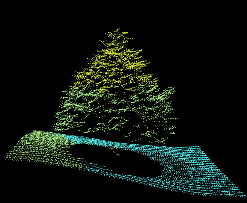
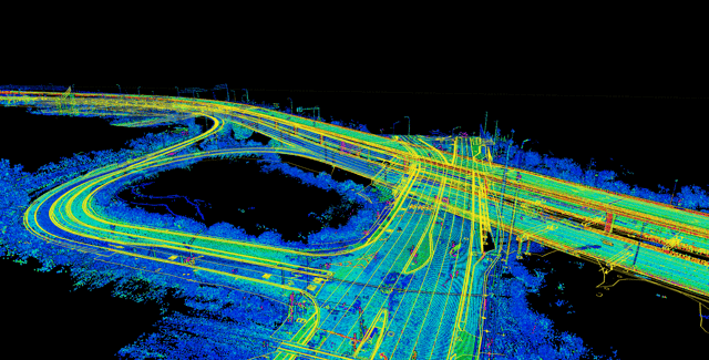
LiDAR pulses measure surface elevations with exceptional density, while photogrammetry reconstructs three-dimensional conditions from overlapping imagery.  WGI processes the collected data into measurable point clouds, terrain models, and georeferenced imagery.

Data-Driven Project Decisions

Convert aerial data into accessible digital information that strengthens analysis and informs decisions across project phases.

Scalable Digital Information

Build geospatial datasets that can expand alongside evolving project requirements and organizational priorities.

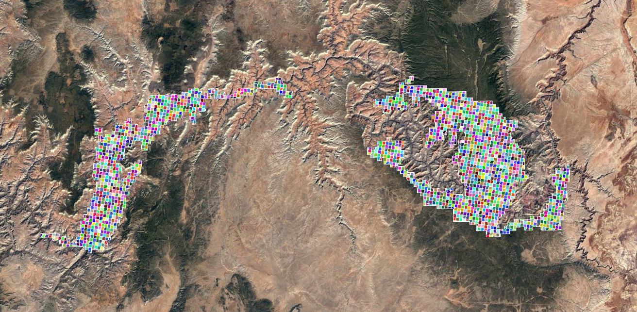
GCNP Tiles

Track Progress and Respond to Changing Site Conditions

By documenting a site at key intervals, UAS and LiDAR surveys reveal construction progress and changes following storms or site activity. Teams can measure results against design and respond where needed.

  • Evaluate access and staging conditions before crews or equipment are mobilized.
  • Use current site models to sequence upcoming work around active constraints.
  • Provide contractors with recent site information for more informed decision-making.

Strengthen Project Planning with UAS and LiDAR

Gain precise geospatial data and measurable digital models that give your team a clearer basis for planning and design.

Related Services

Turn detailed UAS/LiDAR findings into accessible geospatial resources that strengthen analysis across the project lifecycle.

Hydrographic surveying extends site visibility below the waterline to complement UAS/LiDAR data across diverse environments.
Identify existing utilities beneath UAS-mapped sites to reduce uncertainty and strengthen early project planning.
Geospatial and land surveying technologies provide the insight needed to inventory, plan, design, and manage assets with confidence.
Reveal surface conditions, environmental patterns, and changes over time through advanced remote sensing and LiDAR data.
Related Markets
  • Power & Energy

    Expansive energy developments are easier to evaluate when teams can access detailed terrain models early in planning.

    Learn More

  • Transportation

    Aerial imagery gives transportation teams a broader view of how proposed improvements interact with surrounding development.

    Learn More

  • Utilities

    When field access is limited, remote sensing offers a practical way to inspect utility corridors and surrounding conditions.

    Learn More

  • Water + Environment

    LiDAR penetrates dense vegetation to reveal ground elevations needed for reliable watershed and floodplain analysis.

    Learn More

Contact Our Team About Your Next Project.

At WGI, we creatively transform how our world is envisioned, designed, and experienced. Our expert team of professional engineers are just a form submission away.

Guided by Expertise
Jeremiah Slaymaker_00461

Jeremiah Slaymaker, PSM

Director, Geospatial