.png?width=185&height=175&name=WGI%20Icon_Green%20(1).png)



















At WGI, scaling for excellence is about building a team that’s ready to meet opportunity wherever it exists.
As demand for geospatial and land surveying services continues to grow across the country, we’re investing in what matters most: our people, our training, and the systems that allow us to deliver consistently at a national level. Because the reality is simple: technology can take you far, but it’s the team behind it that makes the difference.
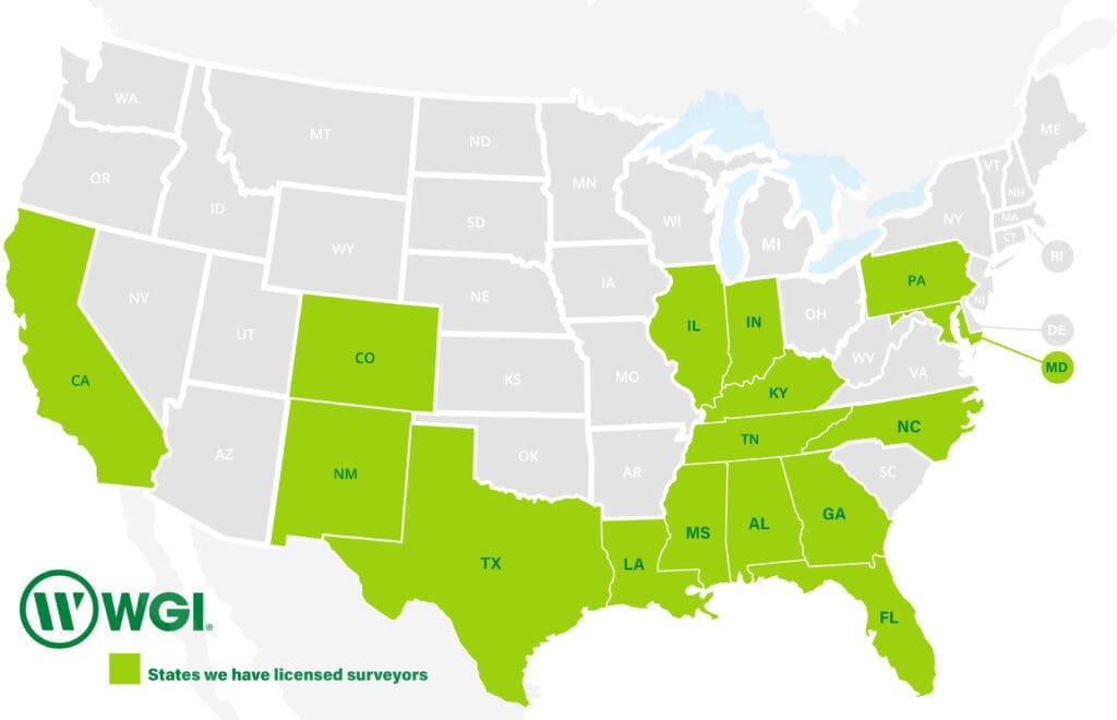 Each location plays a role in a much larger system; one that allows us to share knowledge, deploy resources efficiently, and create opportunities for our teams to grow beyond a single office or region.
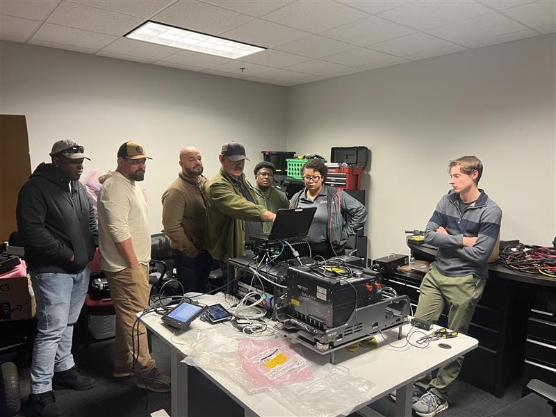
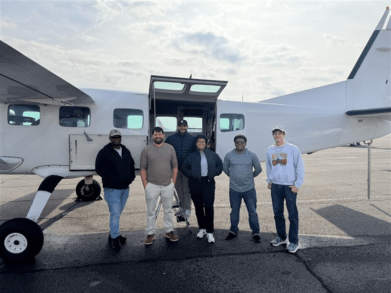 Team members participated in:
 WGI’s geospatial teams operate as one unified group, regardless of location. Collaboration between offices, disciplines, and experience levels is embedded in how we work every day. Knowledge sharing, mentorship, and continuous improvement are part of the culture that drives our success.
From field crews to senior leadership, there is a shared commitment to supporting one another, solving challenges together, and delivering work that reflects both technical excellence and professional pride. This culture allows us to grow without losing the connection and collaboration that make us effective.
WGI’s geospatial teams operate as one unified group, regardless of location. Collaboration between offices, disciplines, and experience levels is embedded in how we work every day. Knowledge sharing, mentorship, and continuous improvement are part of the culture that drives our success.
From field crews to senior leadership, there is a shared commitment to supporting one another, solving challenges together, and delivering work that reflects both technical excellence and professional pride. This culture allows us to grow without losing the connection and collaboration that make us effective.
Growth That Starts from Within
WGI’s geospatial expansion is intentional. We’re not just adding dots to a map, but we’re strengthening the capabilities behind each one. Across our offices in West Palm Beach, Miami, Orlando, Winter Garden, Gainesville, Tallahassee, Huntsville, Chicago, Houston, Austin, and San Antonio, we’re building a connected network of geospatial professionals who can collaborate, mobilize, and deliver at scale.
A New Milestone: Expanding Opportunity in North Carolina
As part of this continued growth, WGI recently obtained land surveying licensure in North Carolina as well as prequalification for Geospatial services with the North Carolina Department of Transportation (NCDOT), an exciting step that opens new opportunities for our team. With established offices already in Charlotte and Raleigh, this expansion allows us to deepen our presence in a region where we’re already making an impact. More importantly, it creates new pathways for our team members to contribute to meaningful infrastructure projects while growing their own careers. It’s one example of how we scale with purpose: expanding where opportunity, demand, and our people align.Training the Next Generation of Experts
Scaling for excellence requires development. At the start of 2026, WGI launched an internal training initiative to expand our aerial remote sensing capabilities by developing new sensor operators from within our existing team. This wasn’t just a technical exercise; it was a hands-on, immersive experience designed to build confidence, capability, and collaboration.
- Classroom sessions covering lidar theory and aviation safety
- Workflow and data acquisition training
- Live sensor operation in controlled environments
- Real-world flight training alongside experienced operators
Technology That Supports, Not Defines
WGI is proud to operate one of the most advanced geospatial technology portfolios in the industry, from aerial lidar and photogrammetry to mobile mapping and hydrographic surveying. But what truly sets us apart is how we use it. Our approach isn’t just about having the most tools, but about having the right people who know how to apply them effectively. We focus on building teams that understand the “why” behind the data, not just the “how” behind the equipment. That mindset creates better outcomes for our clients and more meaningful, engaging work for our staff.A Culture Built on Collaboration
Scaling successfully requires alignment, and that starts with culture.