We are thrilled to share a major milestone in our continued nationwide growth: we’ve been selected for three significant geospatial contracts across Illinois, Texas, and Florida. These wins, spanning regional DOT Districts and key infrastructure corridors, reflect our industry-leading capabilities, trusted partnerships, and the deep bench of experienced professionals who power our teams across the nation.
Together, these contracts represent a powerful step forward in WGI’s mission to support transportation agencies with smarter, more efficient geospatial solutions. More than just awarded work, these wins represent long-standing trust and shared vision – supporting infrastructure that shapes tomorrow’s communities.
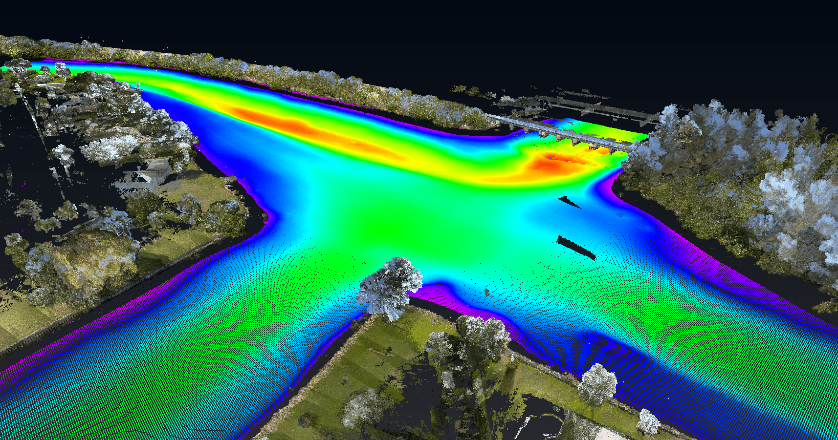
At WGI, our geospatial expertise goes beyond deploying cutting-edge technology. We solve real-world infrastructure challenges whether through utility mapping, subsurface investigations, or large-scale surveying and mapping. Our teams deliver tailored, high-impact services for some of the country’s most important transportation initiatives.
Illinois: Precision + Performance in the Midwest
In the Midwest, WGI’s Chicago-based Geospatial team has been selected to support the Illinois Department of Transportation (IDOT) in District 1, covering Cook, DuPage, Lake, Kane, McHenry, and Will counties. This major contract win encompasses subsurface utility engineering (SUE), survey, utility permit inspections, and geospatial services, providing crucial data that directly impacts the success of Illinois’ Multi-Year Improvement Program.
A continuation of a long-standing partnership with IDOT, this win stands out for our proven ability to deliver complex utility coordination, field investigations, QA/QC procedures, and survey support with exceptional technical rigor and efficiency.
Backed by more than 100 years of combined experience, our local team brings unmatched insight into the unique challenges of urban utility investigations. From advanced surface geophysical techniques to hyper-detailed data verification processes, we’re equipped to streamline field-to-finish workflows across high-density corridors.
Just as critically, our people understand the region, having been on the ground in the area for decades.
Texas: Expanding Our Footprint in the El Paso Region
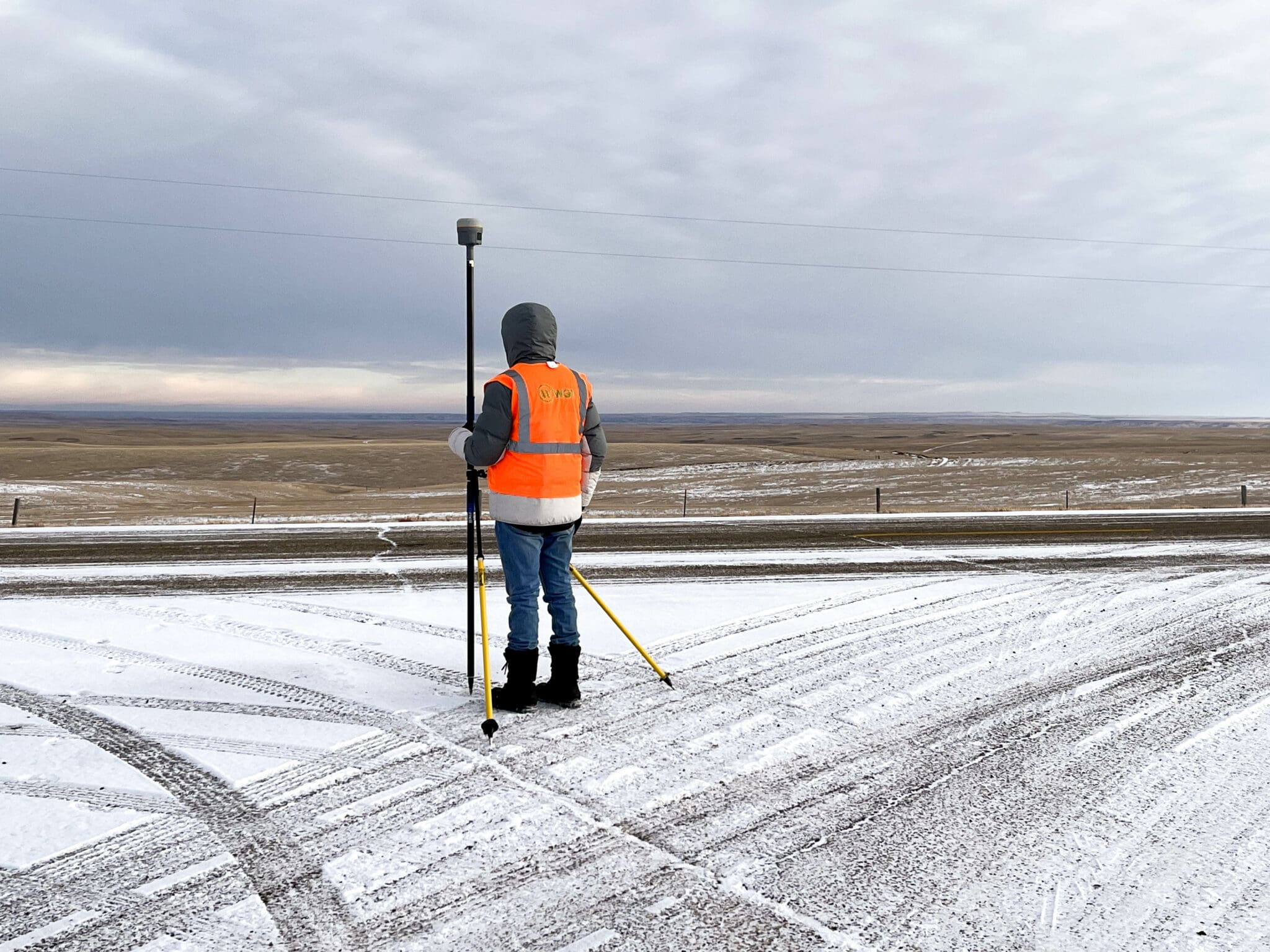
In vast West Texas, WGI has been selected as a prime consultant for surveying services in TxDOT’s El Paso District, a region that spans six counties: El Paso, Hudspeth, Culberson, Jeff Davis, Presidio, and Brewster.
With a contract capacity of $3 million over five years, this indefinite deliverable contract reflects a highly competitive selection process, where WGI ranked in the top 10% of more than 60 respondents. The scope of work includes a broad array of geospatial services such as design and construction surveying, right-of-way surveys, mobile and airborne LiDAR, GIS data analysis, and photogrammetry.
This contract positions our Texas-based Geospatial team to support critical transportation initiatives throughout this expansive and diverse district. Backed by advanced technologies and a deep understanding of the Lone Star State’s unique geography and infrastructure, our professionals are prepared to deliver scalable, future-focused solutions that meet TxDOT’s evolving needs.
We’re also proud to be joined by a strong group of subconsultant partners, forming a collaborative, high-performing team ready to mobilize as work authorizations begin.
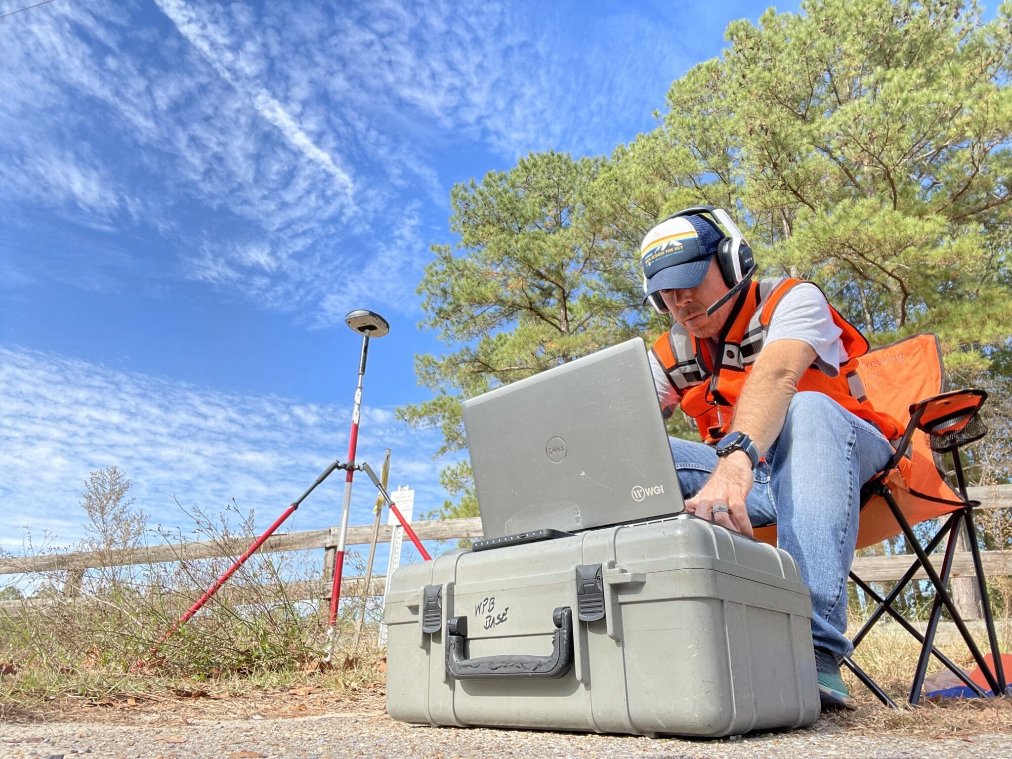
Florida: Supporting the Future of Turnpike Infrastructure
In the Southeast, WGI was awarded a Continuing Surveying and Mapping Services Contract by Florida’s Turnpike Enterprise for the Southern Region – a high-capacity, high-mobility corridor that plays a pivotal role in connecting communities and commerce across South Florida. This $3 million contract encompasses a wide range of services, including control surveying, design and construction surveying, photogrammetric mapping, and right-of-way mapping.

Florida’s toll system presents unique challenges: urban congestion, coastal terrain, and an ever-evolving network of improvements and expansions. WGI’s Florida-based team brings the experience, tools, and local knowledge to meet those demands with agility and precision.
Our work, from design through construction, will help inform resilient transportation systems that support safe, reliable mobility. With a long-standing presence in the region, we’re proud to continue helping shape Florida’s infrastructure future.
Why This Matters
Winning three contracts of this scale and importance, all within a few months, is more than a business win, it’s a testament to the strength of our teams, the trust we’ve built with our agency partners, and the value we bring as a national leader in geospatial services.
These wins were earned through rigorous, competitive, qualification-based selection processes and reflect the strategic vision, deep technical expertise, and national reach that WGI brings to every project.
From Illinois to Texas to Florida, our dedicated teams stand ready to deliver innovative, high-quality solutions with unwavering commitment. We are truly honored by the opportunity to contribute to shaping the future of transportation infrastructure across these dynamic and diverse regions.
Looking Ahead
With new contracts in hand and strong partnerships in place, WGI is more energized than ever to take on the next chapter of geospatial innovation. We’re committed to delivering smart, scalable solutions that move infrastructure forward.
Want to learn more about how WGI supports complex survey and utility projects across the country?
Contact Us
Whether you’re planning a new infrastructure initiative, facing complex utility challenges, or need expert geospatial insight, WGI is here to help.
Contact our experts today, and let’s discuss how our professionals can support your next transportation or infrastructure project, from planning through execution.