Blog
Combining Lidar & Multibeam Sonar
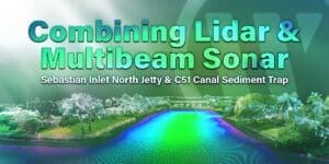
Learn how WGI’s geospatial experts leveraged static and boat mounted mobile lidar and sonar to collect high quality precision data from two distinct project sites.
Learn how WGI’s geospatial experts leveraged static and boat mounted mobile lidar and sonar to collect high quality precision data from two distinct project sites.
