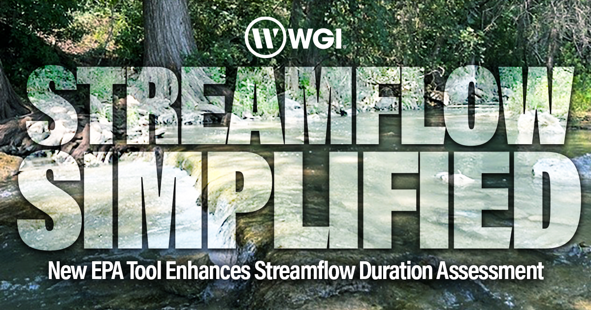
In late 2024, the U.S. Army Corps of Engineers (USACE) and the U.S. Environmental Protection Agency (EPA) unveiled the final versions of their Regional Streamflow Duration Assessment Methods (SDAMs) for the Arid West, Great Plains, and Western Mountains wetland delineation regional areas.
These cutting-edge tools aim to provide a streamlined, science-backed approach to determining the flow duration of streams, marking a significant advancement in delineation and regulatory compliance.
Why Streamflow Classification Matters
Streamflow classification has the potential to aid in water resource management and environmental compliance, as it may assist in determining whether streams are regulated under federal or state laws. However, this task is far from straightforward. Climate variability, such as prolonged droughts or extended wet seasons, can blur the lines between ephemeral, intermittent, and perennial streams. These distinctions are critical, influencing everything from development permits to conservation strategies.
Streamflow Duration Assessment Methods (SDAMs) attempt to tackle this challenge head-on by utilizing hydrological, geomorphological, and biological indicators to classify streamflow duration. These rapid assessment tools are designed for field efficiency, allowing practitioners to collect data quickly from a stream section with comparable indicators. After data collection, users can upload their findings into the EPA’s web-based application, which leverages region-specific models to determine the streamflow classification.
The Advantages of Using SDAMs
- Rapid Field Assessments: SDAMs enable field teams to collect data quickly and effectively, reducing the time and effort needed for stream evaluations.
- Region-Specific Accuracy: By incorporating unique regional characteristics, these tools improve the reliability of streamflow classifications across diverse landscapes.
- Streamlined Compliance: Whether you’re navigating federal regulations or state-specific rules, SDAMs have the potential to provide clarity on stream classification, helping avoid compliance pitfalls.
Partner with WGI for Stream Solutions
If you’re planning or developing a project that could impact streams, WGI is here to help. Our team of scientists is equipped with extensive expertise in navigating the complexities of stream regulations.
Let us help you:
- Evaluate whether your project affects environmental resources and identify potential impacts.
- Analyze alternative project scenarios and environmental solutions to minimize or avoid environmental resource impacts, allowing your project to proceed without the need of a permit.
- If permitting is unavoidable, assess the specific permitting needs and identify the appropriate permit for your project.
- Ensure that your project meets all regulatory conditions for permit approval.
At WGI, we understand that every project is unique, and so are its regulatory needs. With our guidance, you can avoid costly delays and ensure your project aligns with all federal and state requirements.
Contact our team today to leverage our expertise and navigate stream impacts with confidence!