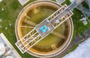
Flood risk is no longer a distant or episodic concern for communities; it’s a daily design constraint. Rapid urbanization, aging infrastructure, intensifying rainfall patterns, and rising sea levels are fundamentally reshaping how communities must plan for, model, and manage stormwater. Traditional approaches that once focused on static floodplains and downstream impacts are proving insufficient in the face of today’s complex, interconnected flood risks.
To build truly flood-resilient communities, stormwater modeling must evolve. The next wave of modeling is more detailed, more spatially refined, and more closely integrated with regulatory decision-making and infrastructure planning. At WGI, we’re helping clients navigate this shift by combining advanced modeling technologies, regulatory expertise, and forward-thinking design strategies that address current risks while supporting long-term system performance.
The Evolution of Stormwater Modeling
Urbanization and Infrastructure Pressures
As communities grow denser, natural drainage systems are replaced with impervious surfaces, constrained channels, and reduced floodplain storage. These changes significantly alter watershed response, increasing runoff volumes, peak flows, and flood frequencies.
Accurate floodplain modeling has become mission-critical. Communities are increasingly relying on onsite detention and retention systems to offset runoff increases and compensate for reduced channel and floodplain capacity. However, these strategies demand a higher level of analytical precision to ensure cumulative impacts are properly understood; not just at the project site, but across the watershed.
From 1D to 2D and GIS-Driven Analysis
The expectation for reliability in stormwater modeling has never been higher. While traditional one-dimensional (1D) models remain useful, they often fall short in complex urban environments where flow paths, overland flooding, and interactions with infrastructure are highly variable.
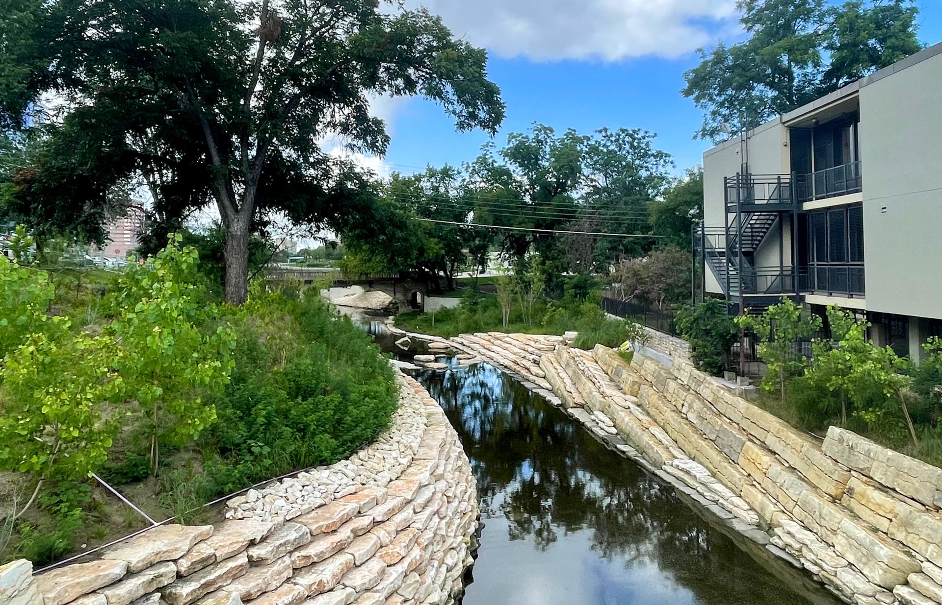
Modern flood studies now increasingly rely on two-dimensional (2D) and GIS-based modeling, allowing engineers to evaluate flood depths, velocities, and extents with far greater spatial accuracy. These tools provide communities with clearer insight into how water moves through streets, properties, and critical infrastructure, supporting better design decisions, permitting outcomes, and public communication.
Advanced Modeling to Support Risk-Informed Decisions
Perhaps the most significant shift in stormwater management is the move away from purely reactive analysis toward a more comprehensive understanding of system behavior under a range of conditions. Communities are no longer satisfied with documenting past flood conditions alone; they require tools that help evaluate system performance, identify vulnerabilities, and test mitigation strategies before failures occur.
Advanced modeling techniques support emergency planning, infrastructure investment decisions, and long-term resilience strategies by allowing decision-makers to assess impacts, prioritize improvements, and coordinate responses across departments. These capabilities reduce uncertainty, improve preparedness, and support safer, more resilient communities.
Changing Floodplain Management Goals
Stricter Development Standards
Floodplain management goals are evolving alongside modeling capabilities. Regulatory agencies are imposing stricter limitations on development impacts, with increased scrutiny on cumulative effects, floodway encroachments, and changes in flood elevations.
At the same time, development pressures continue to rise. Higher densities and floodplain land reclamation have intensified flood impacts, placing greater responsibility on engineers and planners to demonstrate that projects will not exacerbate risk locally or regionally.
A Shift Toward Proactive Risk Reduction
Communities are shifting their focus from post-event recovery to pre-event risk reduction. Advanced stormwater modeling now plays a central role in capital improvement planning, stormwater action plans, and flood mitigation programs, particularly in highly urbanized watersheds where system failures can cascade rapidly.
This proactive approach requires models capable of evaluating multiple conditions, including varying rainfall intensities, infrastructure constraints, and compound flooding influences such as tidal effects and groundwater interactions.
New Standards Driving the Industry Forward
Advanced Modeling and Decision-Support Tools
Advancements in hydrologic and hydraulic (H&H) modeling and integrated analysis tools are setting new standards for flood forecasting stormwater evaluation. These capabilities support:
- Street-level and structure-level flood analysis
- Improved assessment of critical infrastructure vulnerability
- “What if” scenario testing to support emergency planning and recovery
Through Streamline Technologies, WGI leverages StormWise™, a widely accepted and proven hydrologic and hydraulic (H&H) modeling engine, alongside FloodWise™, Streamline’s real-time flood forecasting system. Together, these tools help communities move beyond a “wait-and-see” approach and toward informed, data-driven decision-making that reduces risk and improves outcomes.
Expanding Regulatory Expectations
Drainage and floodplain development regulations are becoming more robust and restrictive, with expanded permitting requirements and broader definitions of impact. Flood studies now routinely extend beyond immediately downstream conditions to consider regional, watershed-scale, and compound flooding effects, including tidal influences, groundwater interactions, and sea-level rise.
Updated Intensity-Duration-Frequency (IDF) curves, based on observed trends in rainfall frequency and intensity, are further increasing design demands. Engineers must also address stormwater quality challenges, including sediment transport and nutrient loading, as part of holistic resilience strategies.
Building Flood-Resilient Communities with WGI
WGI, alongside Streamline Technologies’ water resources, stormwater management, and flood forecasting experts deliver advanced solutions that cost-effectively and sustainably manage risk, no matter the project’s complexity. Our Certified Floodplain Managers and multidisciplinary teams provide comprehensive services, including:
- 1D and 2D hydrologic and hydraulic modeling
- FEMA mapping, floodplain revisions, and post-flood assessments
- Stormwater master planning and flood mitigation strategies
- Design of drainage, detention, conveyance, and flood-control systems
- Regulatory permitting and compliance at the municipal, state, and federal levels
By combining advanced modeling technologies, deep regulatory expertise, and a sound understanding of natural systems, WGI helps communities strengthen resilience and manage stormwater challenges with confidence.
The Bottom Line
The future of stormwater modeling is integrated, data-driven, and resilient by design. As flood risks continue to evolve, communities that invest in advanced analysis and proactive planning are better positioned to protect infrastructure, safeguard public safety, and support sustainable growth.
At WGI, we don’t just model water; we help communities understand it, plan for it, and manage it with confidence.
Contact Us
Ready to strengthen your community’s stormwater resilience?
WGI’s stormwater and floodplain experts deliver practical, data-driven solutions that help communities manage risk, protect infrastructure, and plan for long-term performance.
To learn more about our broader hydraulics expertise, explore our blog, “WGI’s Transportation Hydraulics Team,” and see how our professionals support resilient infrastructure across transportation and water systems.
Contact WGI to discuss how our teams can support your next project!