A New Look for the New Year
We’re refreshing our brand to reflect the energy, inspiration, and excitement that we feel when we come to work every day.
Learn from award-winning professionals — explore our whitepapers, blogs, and the latest industry updates.
Join our dynamic organization of engineers, land surveyors, landscape architects, environmental scientists, and architects!
Talk to a market leader today! We’ll answer any questions you have about our professional services.

In an industry of rapidly changing technology, WGI commits to staying ahead of the curve. As a prominent national design firm in the public and private infrastructure markets, WGI works with an abundance of data from different sources. In recent years, Geographic Information System (GIS) rapidly expanded into the AEC (Architecture, Engineering, Construction) industry, giving us the tools to create, manage, analyze, and visualize the data associated with developing and managing infrastructure.
GIS is increasingly more important within engineering companies. For WGI to affirm its national trademark, Tomorrow’s Technology Today, it’s time we embrace GIS and appreciate its value.
GIS is a powerful tool for managing large quantities of data related to asset/infrastructure management. Given that assets have a spatial component, visualizing assets and their surrounding environment is the most effective way of logging them. But GIS is much more than simply a way of mapping asset locations; it can store nearly limitless amounts of information associated with the asset, as attributes, to analyze and query data at a deeper level.

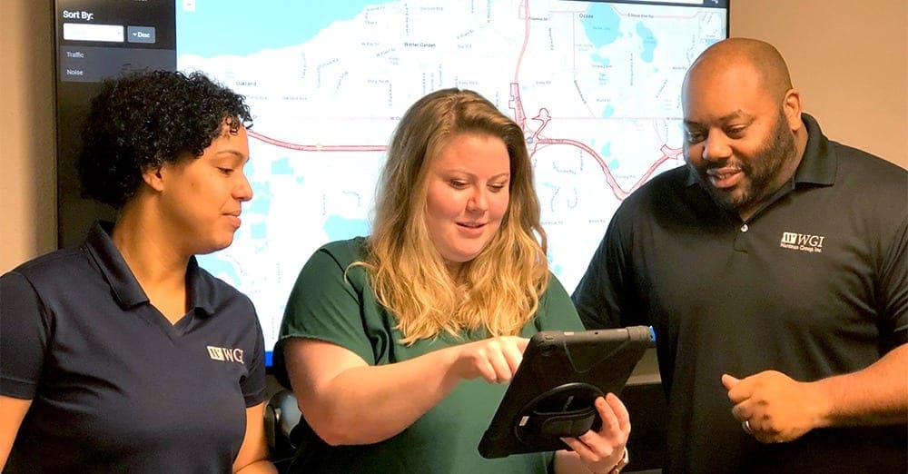
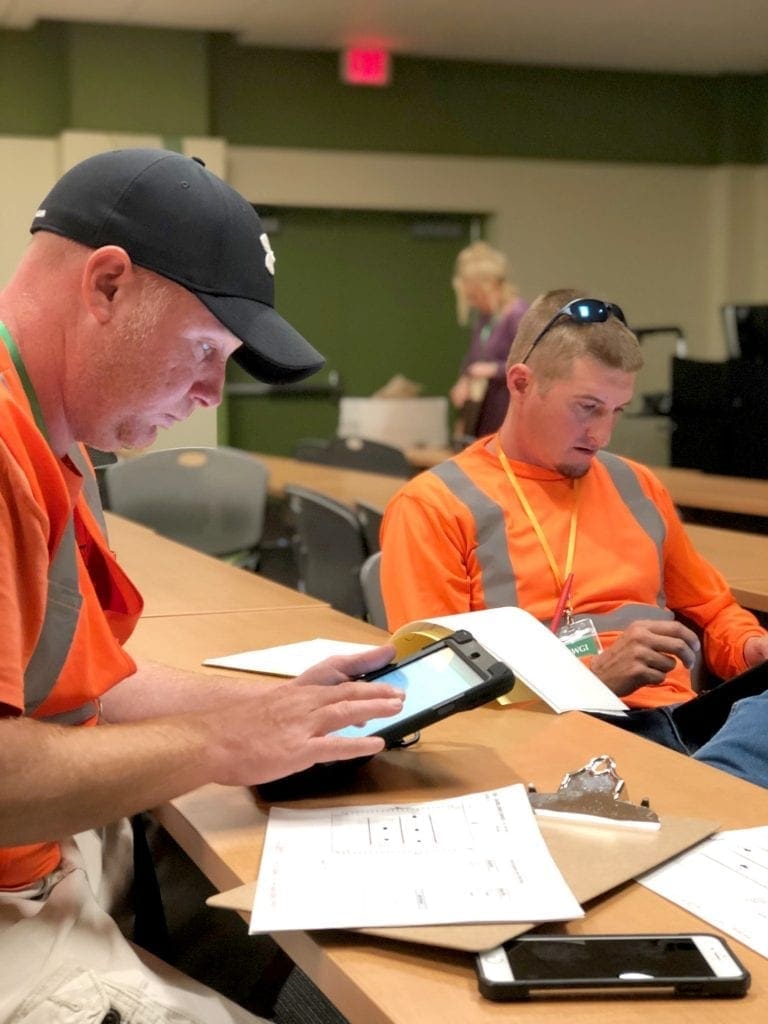
WGI recently deployed Collector for ArcGIS to aid in field data collection efforts. Collector for ArcGIS is a mobile cloud-based field data collection application, making it easy to capture accurate data and seamlessly publish in real-time to ArcGIS Online. With Collector, field crews input attribute data and add attachments including photos, videos, and even audio recordings. Paper forms become obsolete for field crews and office staff who typically enter the data; now everyone works from the same data source at all times. The SR 429 ERCAR project was one of our first implementations of Collector. Our geospatial department collected all sign and pole locations using mobile lidar but not all attributes scoped for feature collection were extractable from the survey data. We used Collector to document this information by making a web map of each feature as a point, then configuring the attributes that required collection. Clicking a single point on a map shows the information about the sign and associated photo. This makes the ground truthing more efficient and allows us to provide clients an alternative deliverable. These applications are designed to be user-friendly and require minimal training.

WGI also implemented Survey123 for ArcGIS, a data collection workflow using smart forms; associates decide which questions to ask and what answers are acceptable. These predefined questions and answers are designed and programmed in an Excel format prior to data collection, and seamlessly integrate with GIS. Users upload their data on the fly for immediate analysis and monitor of progress by office staff. WGI rolled out Survey 123 for ArcGIS during the University of South Florida Parking Study project for the permit-stratification task to track which and how many of each permit exists in a particular lot or garage. Survey123 further maintains data integrity and the real-time analysis of information. These web-based mapping applications are revolutionizing the way WGI collects information, saving time and providing our engineers, surveyors, and other field personnel with an improved and more efficient method of acquiring accurate data.
Esri, the company that pioneered problem-solving using GIS, maintains the largest online GIS data repository in a cloud-based platform called ArcGIS Online (AGOL). With AGOL, users create and publish interactive 2D and 3D maps for their organization to view and employ as deliverables. Esri’s premier mapping desktop software, ArcGIS Pro, enables users to visualize, analyze, and easily share their data to the web. In conjunction with the El Paso Parking Study project, WGI created a 3D web application of parking counts by block, and values were extruded (converted from 2D to 3D) as a height representing large quantities of parking spots. This 3D app can be viewed here:
We were able to share this data with our Parking Solutions Group without requiring any GIS software on their computers. AGOL enables any user (with or without GIS knowledge) to publish and work with their own data, as well as the robust repository of publicly accessible data. Web-based mapping allows the same information to be available to everyone and eliminates the duplication of efforts. GIS deliverables are low-cost and low-risk because clients can monitor the project’s progress with a link to a web application compatible with any browser. No special training is required, and the information is intuitive and simplified.
AGOL’s other benefit is the vast library of global geographic information – the Living Atlas of the World, including thousands of layers and maps, imagery, base maps, etc., that combine with your own data to create maps and apps to perform the analysis.
GIS also seamlessly integrates with CAD software, making it easy to share data with non-GIS users. ESRI software has interoperability tools for surveying, mapping, and civil engineering. These tools allow the GIS user to handle CAD objects without loss of accuracy. In a CAD environment, the objects (lines, polygons, points) don’t have relationships with one another. Integrating CAD data into an existing GIS adds this relational component to the data and topology. Promoting integration between the two software’s enables CAD users to perform spatial analysis on their data, and GIS users to show detailed designs as a reference to their data.
Perhaps one of the most significant benefits of GIS is its rich analytical capabilities. These tools enable WGI to quickly arrive at a solution, and with more accuracy. Analysis tools can be simple, such as the “Near” tool to figure out which CORS stations (Continuously Operating Reference Stations, used to improve the precision of position) are closest to a specific power pole or spatial joins, allowing users to join tables of information based on a common spatial location. These tools also provide more complex analysis, like the Network Analyst extension, to find the quickest way from point A to point B and solve other logistic issues. For the City of El Paso, we used Network Analyst to generate pedestrian sheds (the walking distance from a neighborhood center) of 1,000 feet. We also generated heat maps and hot spot/cold spot maps to assess statistically significant spatial clusters of high and low values. These tools use complex algorithms to produce accurate results.
We have just begun to scratch the surface of how WGI uses GIS to manage our data and build a service line. GIS technology evolved into a highly efficient tool for accurate data management and collection. GIS deliverables will become commonplace as they provide a low-cost, user-friendly, and innovative way to distribute data.
Interested in using our GIS services on your next project? Contact WGI’s GIS Manager, Amy Hunter for more information.

Emily is a GIS Specialist in the Geospatial division with over two years of experience in asset management, data conversion, spatial analysis, and web-based mapping and applications. Emily is responsible for all GIS production and promotion of GIS capabilities and best practices throughout the firm.

We’re refreshing our brand to reflect the energy, inspiration, and excitement that we feel when we come to work every day.

WGI was ranked in the top 200 for the tenth consecutive year by Engineering News-Record (ENR) on their Top 500 Design Firms List for 2024.

A rapid assessment tool that helps uncover the emerging technologies and trends that are of strategic importance to your business.

ENR editors have recognized WGI as the 2021 Southeast Design Firm of the Year!

WGI is celebrating the engineering profession with our PE’s and aspiring PE’s around the nation for the fourth annual Professional Engineers Day!

Discover the 3D design software breakthroughs that are enabling designers to accomplish things that CAD users could only dream about.
You’ve been searching for a place like WGI. We look forward to meeting you soon.
Sign up to receive emails to hear our latest news and achievements in our monthly newsletter.
Enter your zip code, and we’ll personalize your experience with local projects, office locations, team members, and more.
WGI supports its associates with meaningful opportunities for growth, strong benefits and perks, while we work collaboratively with clients and co-consultants to shape and improve communities.


WGI is a dynamic organization with opportunities nationwide for engineers, land surveyors, landscape architects, environmental scientists, and architects.