
Pixel Perfection (LIDAR Magazine May 2017)
A good UAS pilot needs to know his camera settings given specific conditions to produce optimal imagery for mapping applications.
Learn from award-winning professionals — explore our whitepapers, blogs, and the latest industry updates.
Join our dynamic organization of engineers, land surveyors, landscape architects, environmental scientists, and architects!
Talk to a market leader today! We’ll answer any questions you have about our professional services.
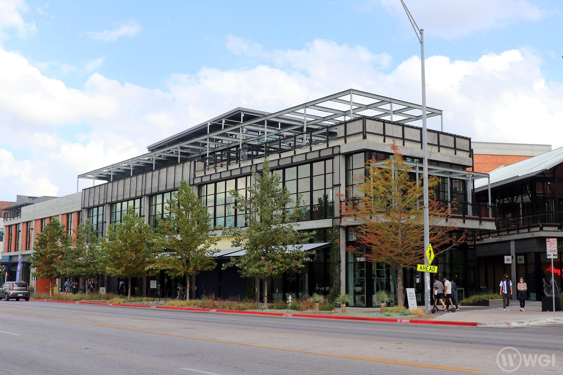
The Music Lane project was recently featured by the Texas Society of Architects in Texas Architect magazine. WGI provided Civil Engineering services for this transformative project in Austin, Texas. Read about it in the January/February issue of Texas Architect by clicking here.
A collection of discrete buildings is organized around a continuous — and genuinely interesting — pedestrian circuit that pulls window shoppers into a series of well-proportioned, lush urban spaces set back from noisy street traffic. The walkable path is intuitive, aligned axially with two majestic heritage trees whose canopies lend a blanket of dappled light to a pocket courtyard that accommodates intimate outdoor dining.
Click here to read the full article by Christopher Ferguson, AIA.
Project Team:
WGI is a national design and professional services firm leading in technology-based solutions for the construction of public infrastructure and real estate development. At WGI, we’re providing Tomorrow’s Infrastructure Solutions Today.
A good UAS pilot needs to know his camera settings given specific conditions to produce optimal imagery for mapping applications.
Phase I, which will cost an estimated $1 million, involves improvements to be made along Northeast Second Avenue from Northeast Eighth Street/George Bush Boulevard to Northeast 13th Street.
If you think you may have burrowing owls on your land, it’s important to have a qualified biologist on your team. WGI’s professionals meet the FWC qualifications to conduct video scoping and relocation of burrows.
WGI was awarded the 2019 MAPPS Excellence Award in Surveying/Field Data Collection, which was presented at the 2020 Winter Conference in Honolulu, Hawaii.
WGI’s commitment to cutting-edge technology allows us to quickly and efficiently deliver higher quality data to our clients.
Discover how big-box retailers and others can become flexible when facing parking challenges in today’s rapidly changing environment.
You’ve been searching for a place like WGI. We look forward to meeting you soon.
Sign up to receive emails to hear our latest news and achievements in our monthly newsletter.
Enter your zip code, and we’ll personalize your experience with local projects, office locations, team members, and more.
WGI supports its associates with meaningful opportunities for growth, strong benefits and perks, while we work collaboratively with clients and co-consultants to shape and improve communities.
WGI is a dynamic organization with opportunities nationwide for engineers, land surveyors, landscape architects, environmental scientists, and architects.