Markets
Services
Stay Connected
Sign up to receive emails to hear our latest news and achievements in our monthly newsletter.
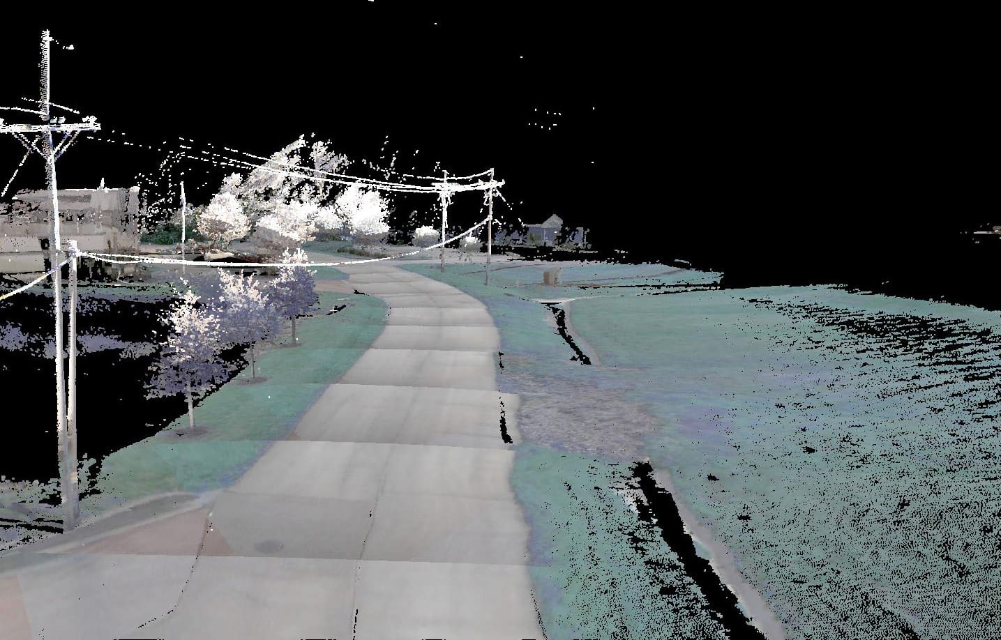
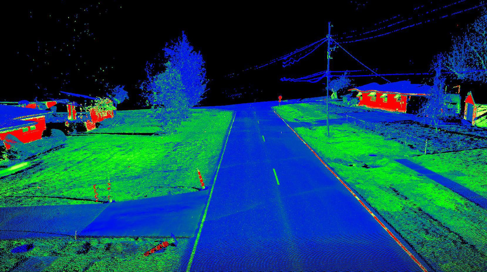
WGI completed data collection for an asset inventory of utility poles and utility transmission systems for a global telecommunications service in northern Kentucky. Terrestrial Mobile LiDAR was used to collect pole locations and associated imagery throughout more than 2,000 roadway miles in the greater Louisville area. Corridor conditions were also provided with miscellaneous surveying extraction to facilitate permit acquisition for installation of new telecommunications facilities.
Sign up to receive emails to hear our latest news and achievements in our monthly newsletter.
Enter your zip code, and we’ll personalize your experience with local projects, office locations, team members, and more.
WGI supports its associates with meaningful opportunities for growth, strong benefits and perks, while we work collaboratively with clients and co-consultants to shape and improve communities.
WGI is a dynamic organization with opportunities nationwide for engineers, land surveyors, landscape architects, environmental scientists, and architects.