SR 429 (Western Beltway) Existing Roadway Conditions Assessment Report
Orange, Lake, & Seminole Counties, Florida
Project Details
SR 429 (Western Beltway) Existing Roadway Conditions Assessment Report
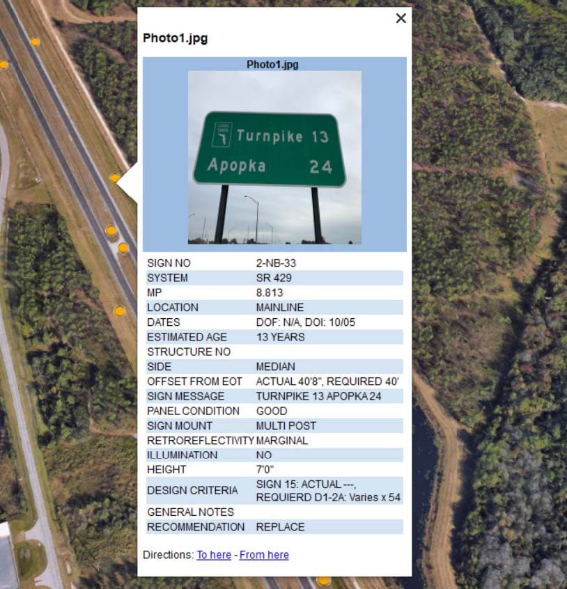
WGI was contracted by Florida’s Turnpike Enterprise (FTE) to prepare an Existing Roadway Conditions Assessment Report (ERCAR) for the SR 429 Western Beltway, from MP 0.0 to MP 5.3, in Osceola County and from MP 5.3 to MP 11.0 in Orange County. The scope of work consisted of a detailed analysis of existing roadway conditions concerning design standards and safety of the roadway, bridges, drainage, signing, and other miscellaneous project components. The assessment results were summarized, and recommendations for roadway and safety improvements were made based on practical design and feasibility to construct.
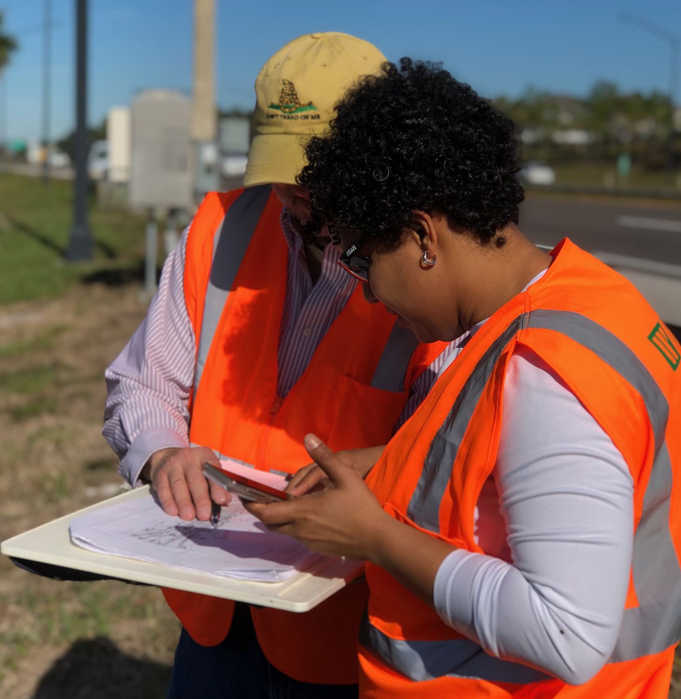
Mobile LiDAR, an innovative solution, was used in the collection of feature locations and measurements of horizontal and vertical offsets. In addition to this method, the GIS staff created mobile field data collection applications, accessible on smart devices, for multiple assets (light poles, signs, drainage structures, environmental assessment, and guardrails) to perform assessments more efficiently. GIS team members coordinated with field staff, surveyors, and engineers to provide spatial and tabular data for reporting. Information and images obtained during the field review were processed and provided as an advanced KMZ deliverable for FTE and contractor use.
WGI supports its associates with meaningful opportunities for growth, strong benefits and perks, while we work collaboratively with clients and co-consultants to shape and improve communities.
WGI is a dynamic organization with opportunities nationwide for engineers, land surveyors, landscape architects, environmental scientists, and architects.