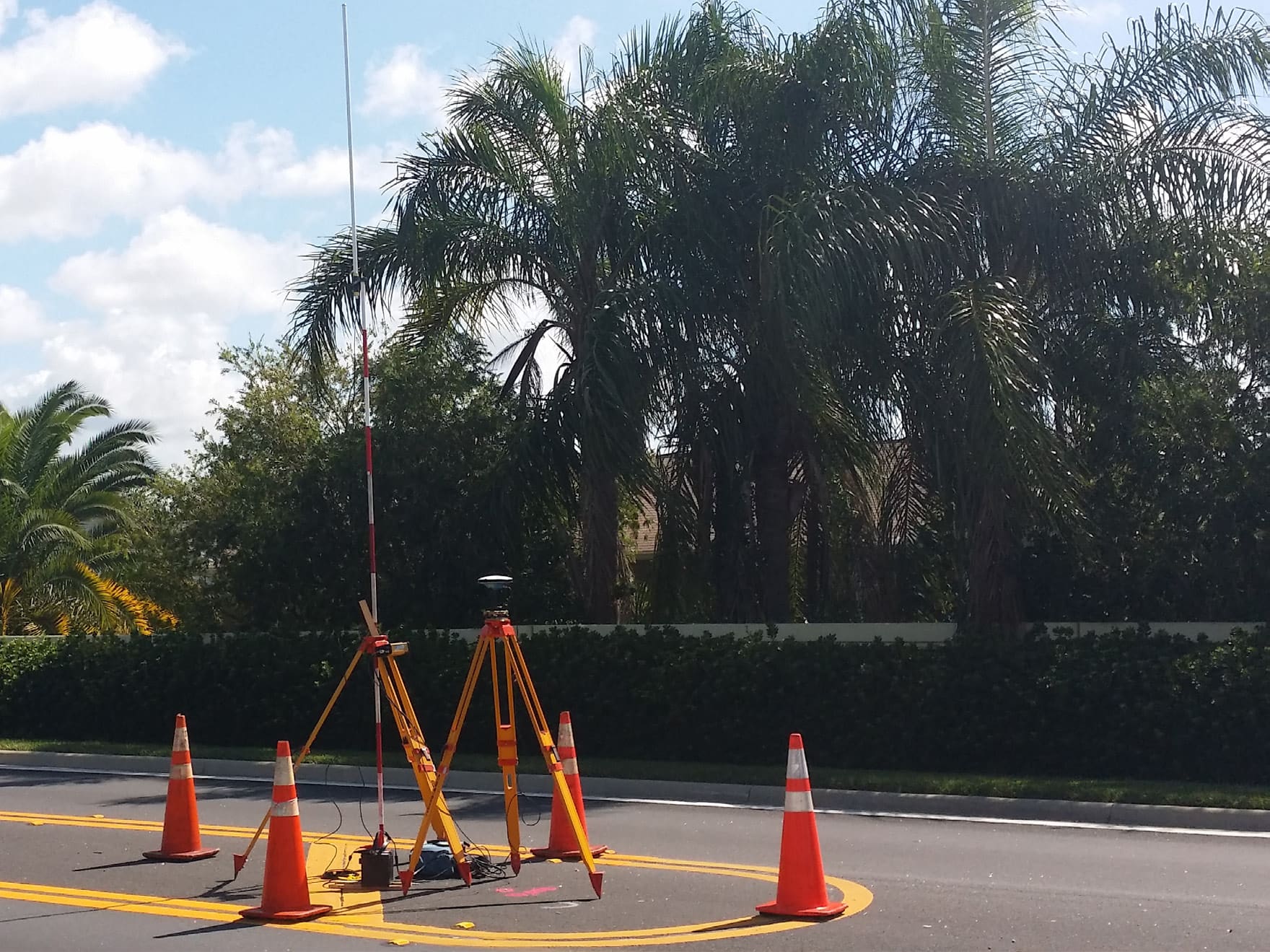
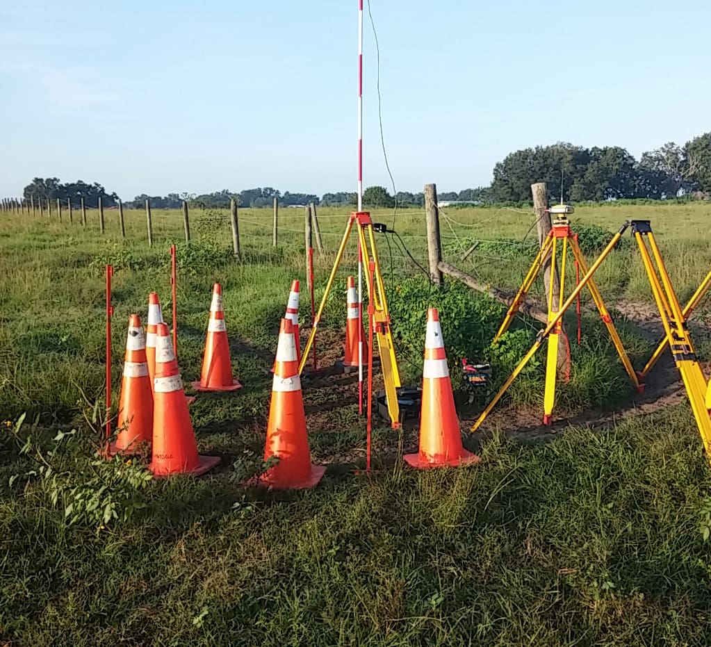
WGI was selected by Sumter County to provide surveying and mapping services under a continuing services contract. Task work orders include, but are not limited to, design surveys, topographic and boundary surveys, control surveys, preparation of sketches and legal descriptions, establishment of vertical and horizontal controls, improvements mapping, AutoCAD drafting, aerial photography, digitizing map information, performing calculations, and utility surveying and mapping.
WGI supports its associates with meaningful opportunities for growth, strong benefits and perks, while we work collaboratively with clients and co-consultants to shape and improve communities.
WGI is a dynamic organization with opportunities nationwide for engineers, land surveyors, landscape architects, environmental scientists, and architects.