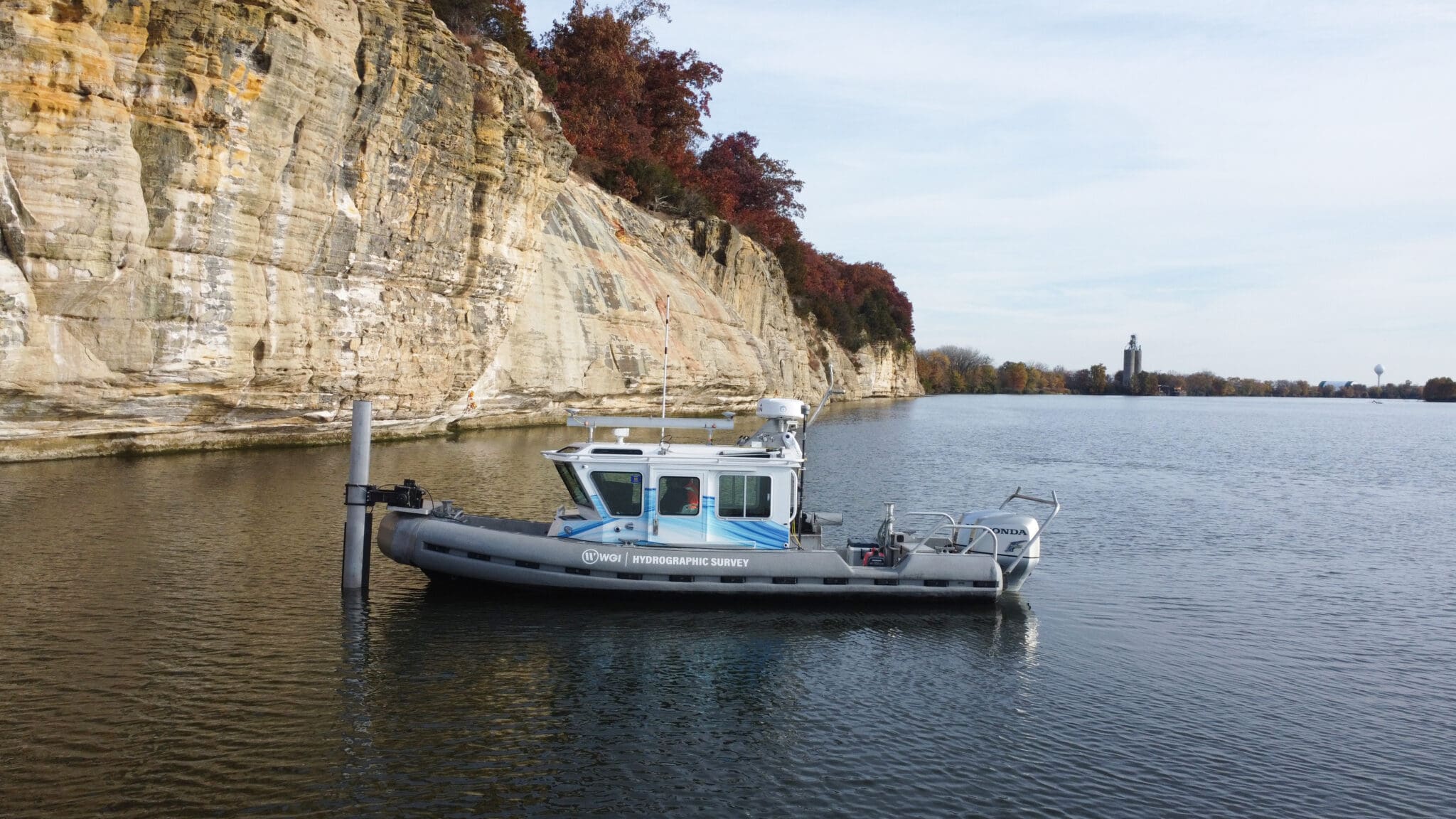
The U.S. Army Corps of Engineers (St. Louis and Rock Island Districts) and its federal and state partners in the Upper Mississippi River System (UMRS) — including the U.S. Geological Survey Upper Midwest Environmental Science Center — needed high-resolution bathymetric data for the Peoria and Starved Rock Pools along the Illinois River. The project encompassed approximately 356 square miles of dynamic riverine environment presenting nearly every challenge that complex hydrographic surveys face.
The Illinois River system spans an extreme range of aquatic conditions. Navigation channels exceed 40 feet in depth. Adjacent backwater areas drop below 3 feet, with some zones inaccessible to any conventional survey vessel during low water periods. Seasonal flow variations produce current velocities that challenge vessel control during high water, and historic low water levels during one survey phase limited access across significant portions of the project area.
The survey was also required to integrate seamlessly with aerial topobathymetric lidar data being collected concurrently, producing a continuous elevation dataset across both terrestrial and submerged surfaces — a data integration challenge that demanded consistent datum management across
fundamentally different sensor types.
Project Highlights:
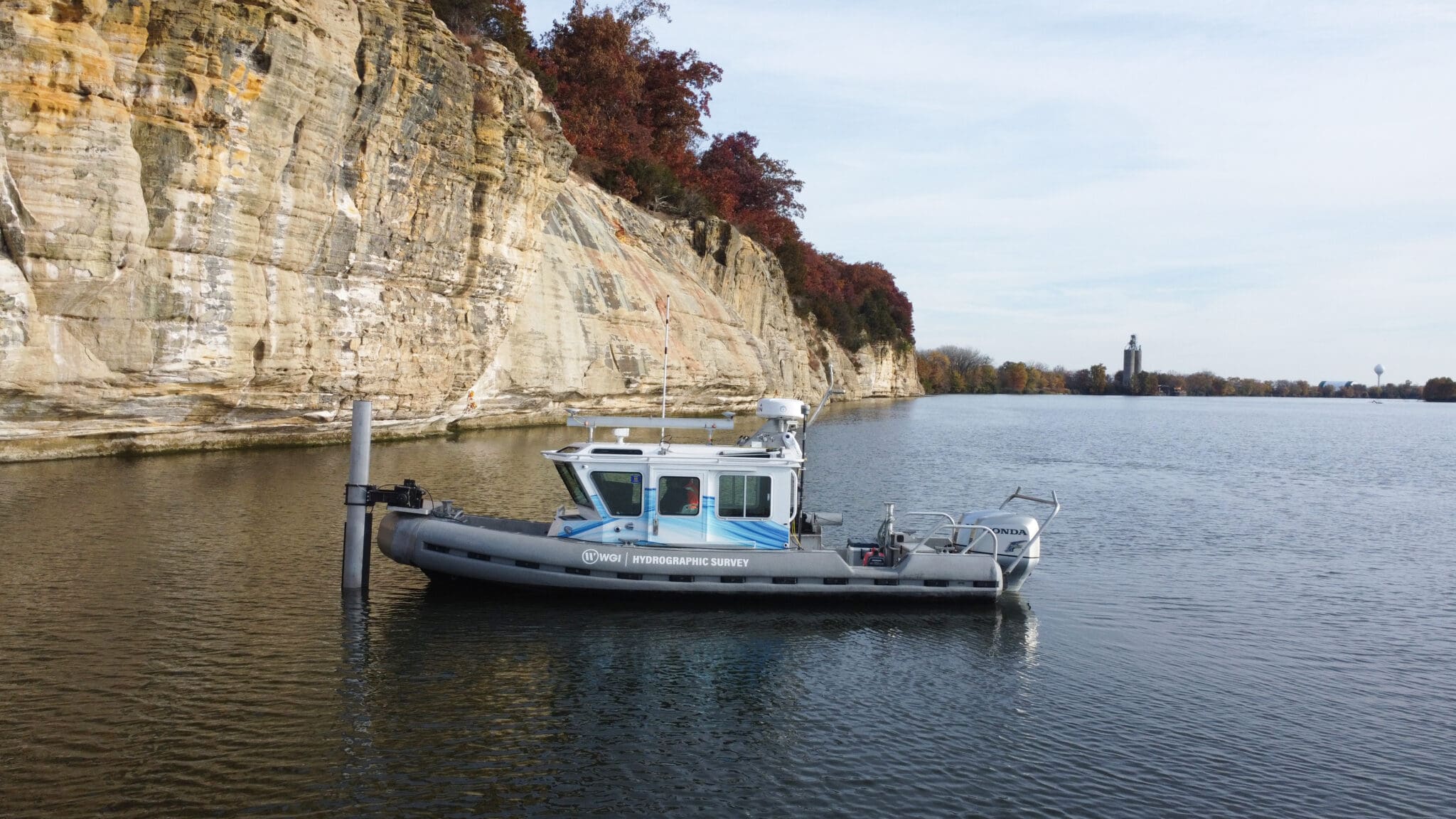
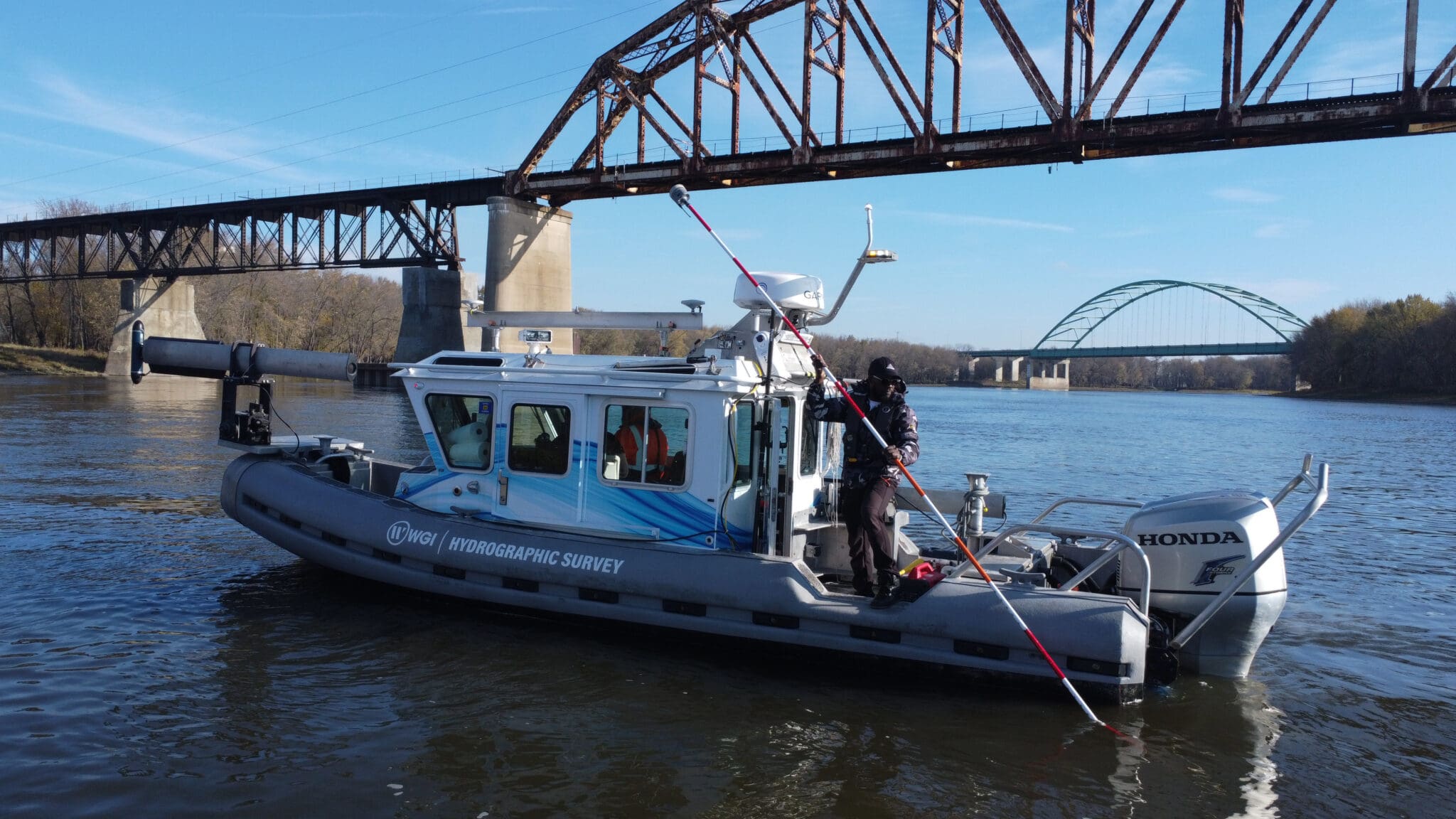
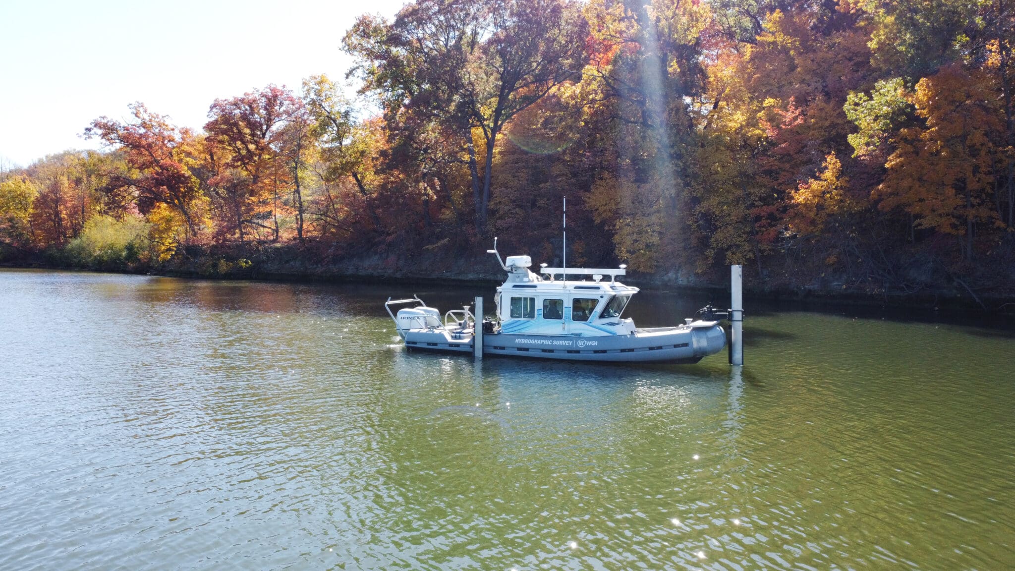
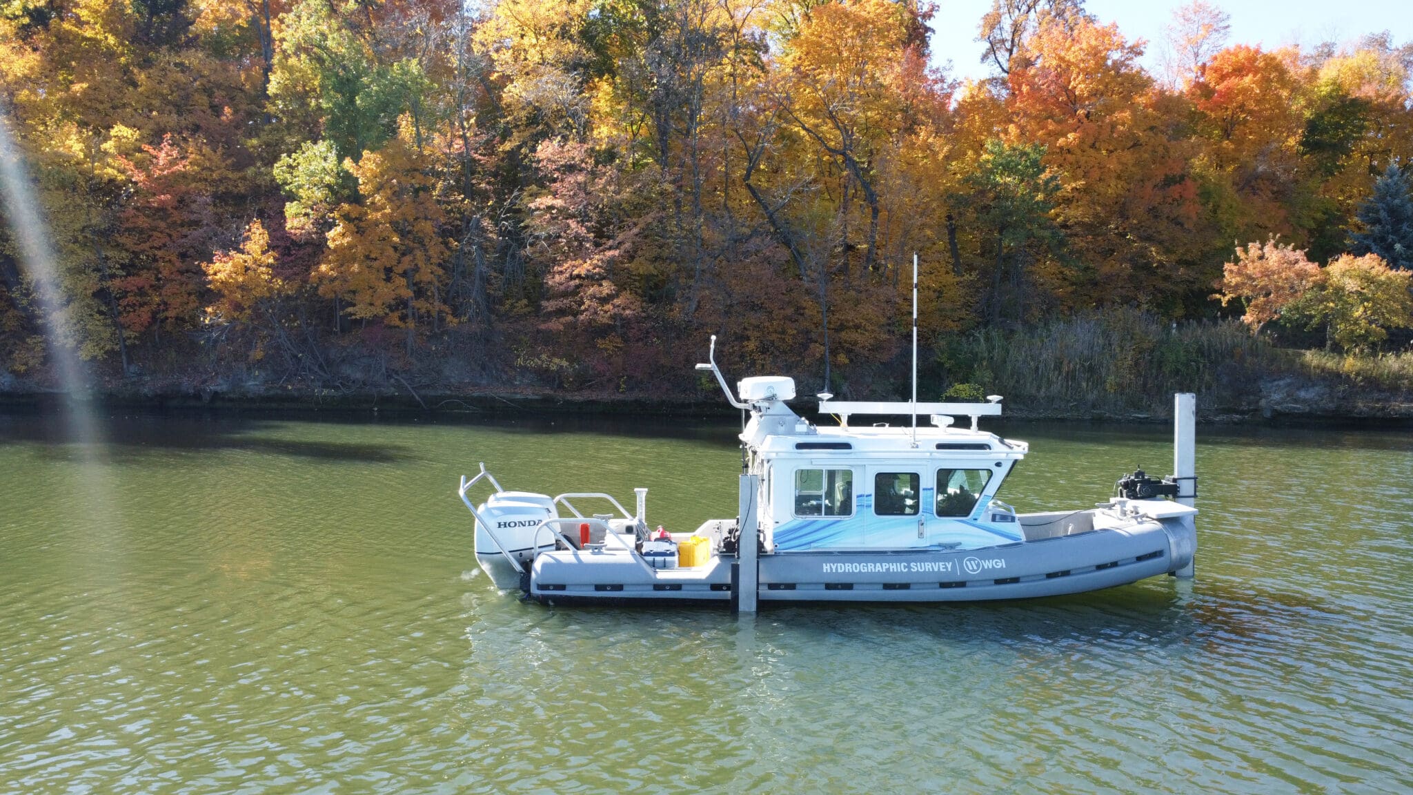
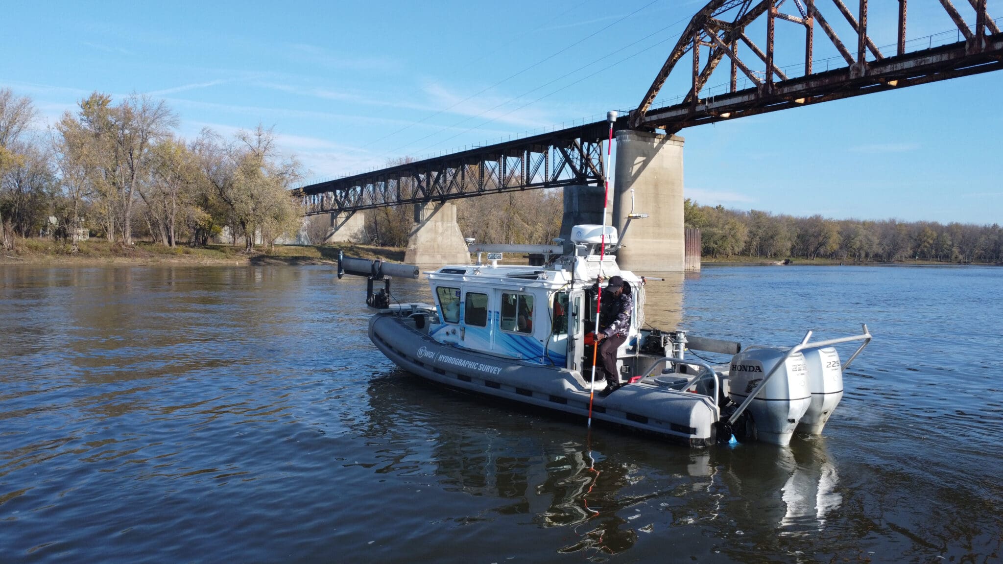
WGI deployed a comprehensive suite of hydrographic survey equipment aboard a 25-foot SAFE Boat configured for shallow water bathymetric operations, integrating the following primary systems:
Ping DSP 3DSS — Integrated multibeam sonar and side scan sonar for simultaneous bathymetry and acoustic imagery in navigable water depths
Applanix POS M/V Wavemaster II — Integrated GNSS/IMU inertial navigation for positioning and motion compensation across all acoustic systems
Teledyne Echotrac E-20 — Dual-frequency single beam echosounder (200 kHz / 24 kHz) for shallow water zones beyond multibeam coverage
AML-3 Sound Velocity Profiler — Water column corrections applied before each survey day, at midday, at day’s end, and whenever stratification changes became apparent
Trimble R12i GNSS — RTK positioning via Trimble’s RTX network for centimeter-level horizontal and vertical control
WGI supports its associates with meaningful opportunities for growth, strong benefits and perks, while we work collaboratively with clients and co-consultants to shape and improve communities.
WGI is a dynamic organization with opportunities nationwide for engineers, land surveyors, landscape architects, environmental scientists, and architects.